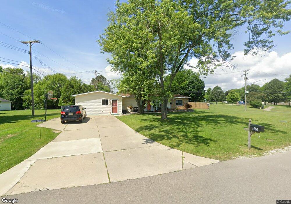
655 Gamma Rd Walled Lake, MI 48390
Estimated Value: $230,195 - $258,000
3
Beds
1
Bath
1,119
Sq Ft
$215/Sq Ft
Est. Value
About This Home
This home is located at 655 Gamma Rd, Walled Lake, MI 48390 and is currently estimated at $240,299, approximately $214 per square foot. 655 Gamma Rd is a home located in Oakland County with nearby schools including Walled Lake Elementary School, Sarah G. Banks Middle School, and Walled Lake Western High School.
Ownership History
Date
Name
Owned For
Owner Type
Purchase Details
Closed on
Nov 18, 2010
Sold by
Dewar Ii Donald and Dewar Bronwyn M
Bought by
Hindersman Derek K and Hindersman Cathryn M
Current Estimated Value
Purchase Details
Closed on
Aug 10, 2010
Sold by
Dewar Ii Donald M and Dewar Bronwyn M
Bought by
Gmac Mortgage Llc
Purchase Details
Closed on
Apr 15, 2005
Sold by
Lesnek Richard J and Lesnek Richard
Bought by
Dewar Donald and Dewar Bronwyn M
Home Financials for this Owner
Home Financials are based on the most recent Mortgage that was taken out on this home.
Original Mortgage
$33,600
Interest Rate
6.06%
Mortgage Type
Credit Line Revolving
Purchase Details
Closed on
Jan 27, 2003
Sold by
Lesnek Krista Weborg and Lesnek Krista Ann
Bought by
Lesnek Richard J
Create a Home Valuation Report for This Property
The Home Valuation Report is an in-depth analysis detailing your home's value as well as a comparison with similar homes in the area
Home Values in the Area
Average Home Value in this Area
Purchase History
| Date | Buyer | Sale Price | Title Company |
|---|---|---|---|
| Hindersman Derek K | $80,000 | Greater Michigan Title Llc | |
| Gmac Mortgage Llc | $51,208 | None Available | |
| Dewar Donald | $168,000 | Title One Inc | |
| Lesnek Richard J | -- | -- |
Source: Public Records
Mortgage History
| Date | Status | Borrower | Loan Amount |
|---|---|---|---|
| Previous Owner | Dewar Donald | $33,600 | |
| Previous Owner | Dewar Donald | $134,400 |
Source: Public Records
Tax History Compared to Growth
Tax History
| Year | Tax Paid | Tax Assessment Tax Assessment Total Assessment is a certain percentage of the fair market value that is determined by local assessors to be the total taxable value of land and additions on the property. | Land | Improvement |
|---|---|---|---|---|
| 2024 | $1,505 | $97,160 | $0 | $0 |
| 2023 | $1,418 | $90,750 | $0 | $0 |
| 2022 | $1,417 | $83,580 | $0 | $0 |
| 2021 | $1,436 | $80,410 | $0 | $0 |
| 2020 | $1,367 | $77,050 | $0 | $0 |
| 2019 | $1,414 | $69,980 | $0 | $0 |
| 2018 | $1,407 | $63,560 | $0 | $0 |
| 2017 | $1,393 | $62,450 | $0 | $0 |
| 2016 | $1,436 | $58,580 | $0 | $0 |
| 2015 | -- | $47,400 | $0 | $0 |
| 2014 | -- | $34,970 | $0 | $0 |
| 2011 | -- | $39,040 | $0 | $0 |
Source: Public Records
Map
Nearby Homes
- 1130 Sigma Rd
- 451 Gamma Rd
- 549 Winwood Ct
- 454 Old Pine Way Unit 154
- 470 Old Pine Way Unit 162
- 145 E Bay Dr Unit 35
- 135 E Bay Dr Unit 20
- 449 Village Dr Unit 181
- 157 E Bay Dr
- 439 Village Dr Unit 184
- 414 Old Pine Way Unit 136
- 446 Boardwalk Dr Unit 89
- 464 Old Pine Way Unit 159
- 413 Village Dr Unit 174
- 438 Old Pine Way
- 3101 Cameron Cir
- 1493 Mariner Dr
- 420 Wellsboro St
- 138 Welfare Blvd
- 29204 April Ct Unit 236