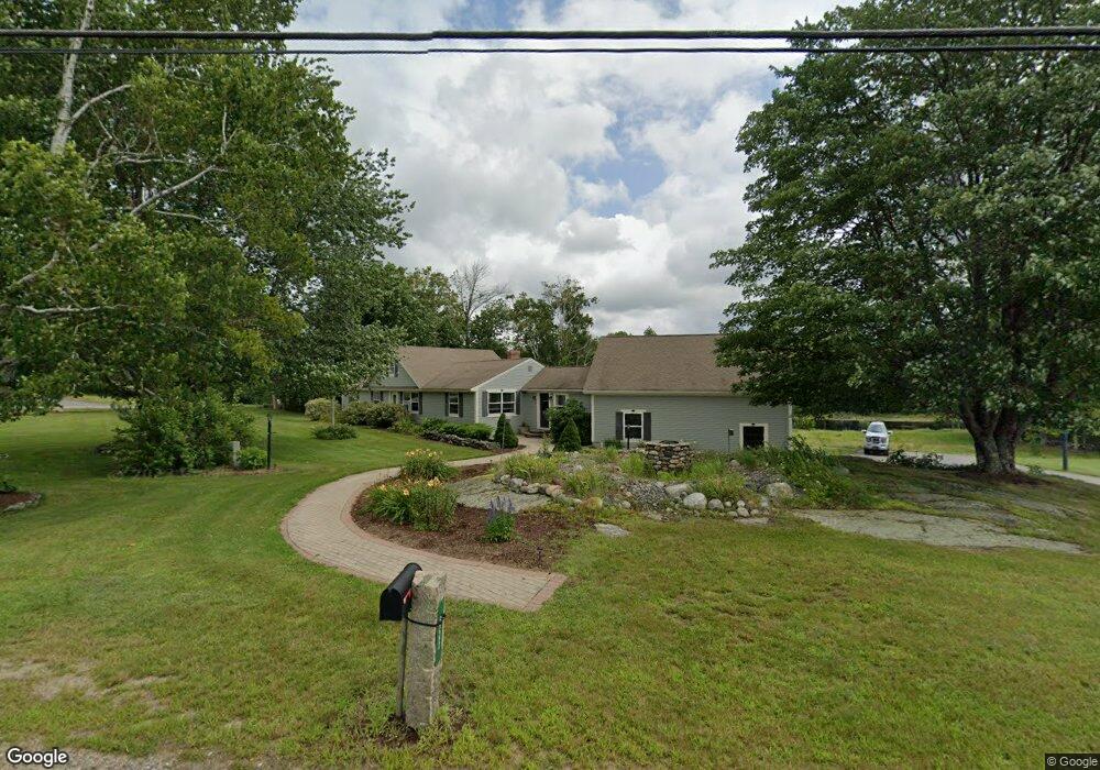
655 Hanson Ridge Rd Springvale, ME 04083
Estimated Value: $387,000 - $523,000
2
Beds
1
Bath
2,228
Sq Ft
$202/Sq Ft
Est. Value
About This Home
This home is located at 655 Hanson Ridge Rd, Springvale, ME 04083 and is currently estimated at $450,692, approximately $202 per square foot. 655 Hanson Ridge Rd is a home located in York County.
Ownership History
Date
Name
Owned For
Owner Type
Purchase Details
Closed on
Sep 28, 2006
Sold by
Carpenter Lawrence W Est and Colpitts Carolyn C
Bought by
Sevigny Joseph J
Current Estimated Value
Home Financials for this Owner
Home Financials are based on the most recent Mortgage that was taken out on this home.
Original Mortgage
$140,000
Outstanding Balance
$82,952
Interest Rate
6.52%
Mortgage Type
Purchase Money Mortgage
Estimated Equity
$367,740
Create a Home Valuation Report for This Property
The Home Valuation Report is an in-depth analysis detailing your home's value as well as a comparison with similar homes in the area
Home Values in the Area
Average Home Value in this Area
Purchase History
| Date | Buyer | Sale Price | Title Company |
|---|---|---|---|
| Sevigny Joseph J | -- | -- |
Source: Public Records
Mortgage History
| Date | Status | Borrower | Loan Amount |
|---|---|---|---|
| Open | Sevigny Joseph J | $140,000 |
Source: Public Records
Tax History
| Year | Tax Paid | Tax Assessment Tax Assessment Total Assessment is a certain percentage of the fair market value that is determined by local assessors to be the total taxable value of land and additions on the property. | Land | Improvement |
|---|---|---|---|---|
| 2025 | $6,378 | $373,000 | $51,300 | $321,700 |
| 2024 | $6,020 | $373,000 | $51,300 | $321,700 |
| 2023 | $5,599 | $369,800 | $51,300 | $318,500 |
| 2022 | $5,473 | $369,800 | $51,300 | $318,500 |
| 2021 | $5,316 | $292,400 | $51,300 | $241,100 |
| 2020 | $4,637 | $255,000 | $51,300 | $203,700 |
| 2019 | $4,912 | $237,300 | $51,300 | $186,000 |
| 2018 | $4,377 | $226,300 | $46,600 | $179,700 |
| 2017 | $4,447 | $214,400 | $46,600 | $167,800 |
| 2016 | $4,446 | $195,500 | $46,700 | $148,800 |
| 2015 | $4,377 | $198,600 | $51,100 | $147,500 |
| 2014 | $4,490 | $200,300 | $52,800 | $147,500 |
| 2013 | -- | $207,700 | $58,900 | $148,800 |
Source: Public Records
Map
Nearby Homes
- 273 Deering Neighborhood Rd
- Lot 27-1 Blanchard Rd
- 271 Deering Neighborhood Rd
- 252 Deering Neighborhood Rd
- 631 Hanson Ridge Rd
- 0 Blanchard Rd
- 630 Hanson Ridge Rd
- 13 Blanchard Rd
- 680 Hanson Ridge Rd
- 619 Hanson Ridge Rd
- 245 Deering Neighborhood Rd
- 21 Blanchard Rd
- 687 Hanson Ridge Rd
- 593 Hanson's Ridge Rd
- 701 Hanson Ridge Rd
- 37 Blanchard Rd
- 593 Hanson Ridge Rd
- 222 Deering Neighborhood Rd
- 222 Deering Neighborhood Rd
- 219 Deering Neighborhood Rd
Your Personal Tour Guide
Ask me questions while you tour the home.