655 Harbor Dr Lancaster, TN 38569
Estimated Value: $395,173 - $656,000
Studio
--
Bath
1,859
Sq Ft
$304/Sq Ft
Est. Value
About This Home
This home is located at 655 Harbor Dr, Lancaster, TN 38569 and is currently estimated at $564,293, approximately $303 per square foot. 655 Harbor Dr is a home.
Ownership History
Date
Name
Owned For
Owner Type
Purchase Details
Closed on
Apr 11, 2013
Sold by
Smith Ronnie
Bought by
Carver Joseph H and Carver Julie A
Current Estimated Value
Purchase Details
Closed on
May 30, 2007
Bought by
Smith Ronnie and Smith Christy
Purchase Details
Closed on
May 18, 2005
Sold by
Baines Roger
Bought by
Thompson W R
Purchase Details
Closed on
Jun 19, 2003
Sold by
Waterfront Group
Bought by
Lawson Beverly B
Purchase Details
Closed on
Aug 26, 2002
Bought by
Baines Roger
Create a Home Valuation Report for This Property
The Home Valuation Report is an in-depth analysis detailing your home's value as well as a comparison with similar homes in the area
Purchase History
| Date | Buyer | Sale Price | Title Company |
|---|---|---|---|
| Carver Joseph H | $231,000 | -- | |
| Smith Ronnie | $42,500 | -- | |
| Thompson W R | $36,000 | -- | |
| Lawson Beverly B | $51,850 | -- | |
| Baines Roger | $31,100 | -- |
Source: Public Records
Tax History
| Year | Tax Paid | Tax Assessment Tax Assessment Total Assessment is a certain percentage of the fair market value that is determined by local assessors to be the total taxable value of land and additions on the property. | Land | Improvement |
|---|---|---|---|---|
| 2025 | $1,696 | $67,550 | $16,250 | $51,300 |
| 2024 | $1,696 | $67,550 | $16,250 | $51,300 |
| 2023 | $1,351 | $67,550 | $16,250 | $51,300 |
| 2022 | $1,169 | $67,550 | $16,250 | $51,300 |
| 2021 | $1,169 | $67,550 | $16,250 | $51,300 |
| 2020 | $1,183 | $67,550 | $16,250 | $51,300 |
| 2019 | $1,183 | $55,725 | $13,750 | $41,975 |
| 2018 | $1,022 | $55,725 | $13,750 | $41,975 |
| 2017 | $1,022 | $55,725 | $13,750 | $41,975 |
| 2016 | $1,022 | $55,725 | $13,750 | $41,975 |
| 2015 | $903 | $55,725 | $13,750 | $41,975 |
| 2014 | $928 | $57,300 | $13,750 | $43,550 |
| 2013 | $928 | $57,300 | $13,750 | $43,550 |
Source: Public Records
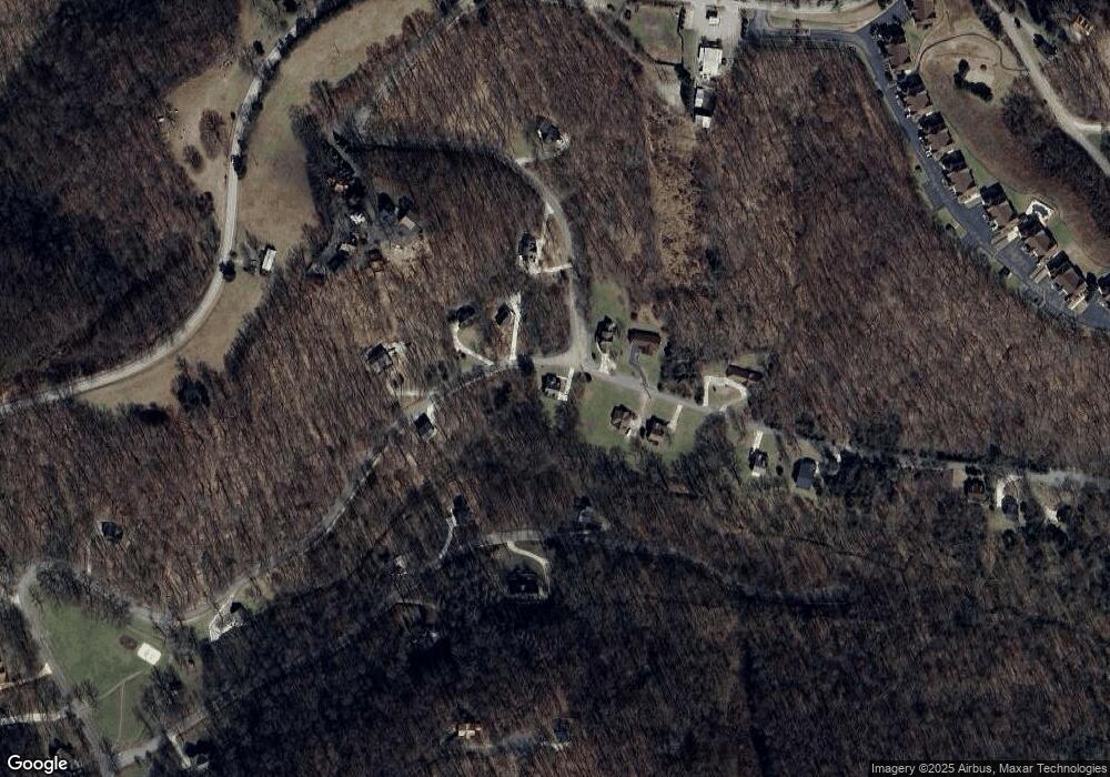
Map
Nearby Homes
- 77 Baymont Dr
- 0 Bayside Dr Unit 12
- 6817 Dale Ridge Rd
- 800 Harbor Dr
- 7100 Dale Ridge Rd Unit J5
- 35 Bayview Dr
- 525 Harbor Dr
- 56 Harbor Dr
- 11 Bay Dr
- 0 Bay View Dr Unit RTC3030507
- 7383 Dale Ridge Rd
- 7720 Dale Ridge Rd
- 404 Duke Cir
- 574 Hayes Ridge Rd
- 5175 Dale Ridge Rd
- 448 Dean Acre Ln
- 0 Harbor Dr Unit 55
- 0 Harbor Dr Unit RTC3067264
- 1700 Hannah Branch Rd
- 1741 Lancaster Rd
Your Personal Tour Guide
Ask me questions while you tour the home.