655 Mccracken Rd Danville, PA 17821
Estimated Value: $232,000 - $270,000
3
Beds
1
Bath
1,316
Sq Ft
$188/Sq Ft
Est. Value
About This Home
This home is located at 655 Mccracken Rd, Danville, PA 17821 and is currently estimated at $246,969, approximately $187 per square foot. 655 Mccracken Rd is a home located in Montour County with nearby schools including Liberty-Valley Elementary School, Danville Primary School, and Danville Area Middle School.
Ownership History
Date
Name
Owned For
Owner Type
Purchase Details
Closed on
Aug 29, 2017
Sold by
Rice Philip P
Bought by
Hack Craig and Hack Nyree
Current Estimated Value
Home Financials for this Owner
Home Financials are based on the most recent Mortgage that was taken out on this home.
Original Mortgage
$129,200
Outstanding Balance
$107,949
Interest Rate
3.92%
Mortgage Type
New Conventional
Estimated Equity
$139,020
Create a Home Valuation Report for This Property
The Home Valuation Report is an in-depth analysis detailing your home's value as well as a comparison with similar homes in the area
Home Values in the Area
Average Home Value in this Area
Purchase History
| Date | Buyer | Sale Price | Title Company |
|---|---|---|---|
| Hack Craig | $136,000 | None Available |
Source: Public Records
Mortgage History
| Date | Status | Borrower | Loan Amount |
|---|---|---|---|
| Open | Hack Craig | $129,200 |
Source: Public Records
Tax History Compared to Growth
Tax History
| Year | Tax Paid | Tax Assessment Tax Assessment Total Assessment is a certain percentage of the fair market value that is determined by local assessors to be the total taxable value of land and additions on the property. | Land | Improvement |
|---|---|---|---|---|
| 2025 | $1,797 | $104,300 | $31,700 | $72,600 |
| 2024 | $1,737 | $104,300 | $31,700 | $72,600 |
| 2023 | $1,738 | $104,300 | $31,700 | $72,600 |
| 2022 | $1,685 | $104,300 | $31,700 | $72,600 |
| 2021 | $1,645 | $104,300 | $31,700 | $72,600 |
| 2020 | $1,631 | $104,300 | $31,700 | $72,600 |
| 2019 | $1,580 | $104,300 | $31,700 | $72,600 |
| 2018 | $1,540 | $104,300 | $31,700 | $72,600 |
| 2017 | $1,543 | $104,300 | $31,700 | $72,600 |
| 2016 | $1,534 | $104,300 | $31,700 | $72,600 |
| 2015 | $444 | $104,300 | $31,700 | $72,600 |
| 2014 | -- | $104,300 | $31,700 | $72,600 |
Source: Public Records
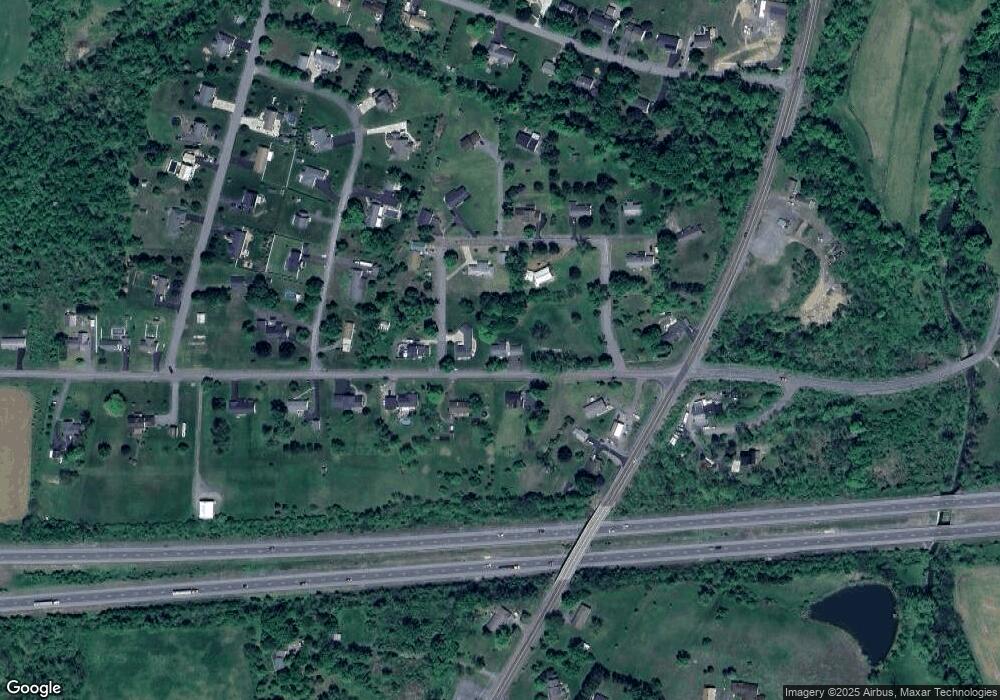
Map
Nearby Homes
- 0 State Route 642 Jerseytown Rd Unit 20-101047
- 12 Leer Ln
- 12 Brookside Dr
- 239 Mccracken Rd
- 25 Rhoades Hill Rd
- 100 Cherokee Rd
- 14 Fairfield Ln
- 22 Country Rd
- 77 Wagon Wheel Hill Rd
- 9 Kristim Dr
- 26 Kristim Dr
- 18 Kristim Dr
- 78 Valley Green Dr
- 82 Terre Ln
- 67 Red Oak Dr
- 198 Liberty Valley Rd
- 118 Jacobs Landing Way
- LOT 4 Kaseville Rd
- 1747 First St
- 15 Ravenwood Dr
- 21 Eister Loop
- 45 Eister Loop
- 90 Eister Loop
- 650 Mccracken Rd
- 660 Mccracken Rd
- 65 Eister Loop
- 205 Jerseytown Rd
- 10 Eister Loop
- 50 Eister Loop
- 195 Jerseytown Rd
- 75 Eister Loop
- 640 Mccracken Rd
- 40 Eister Loop
- 80 Eister Loop
- 70 Eister Loop
- 30 Eister Loop
- 14 Red Bud Ln
- 630 Mccracken Rd
- 20 Eister Loop
- 18 Eister Loop