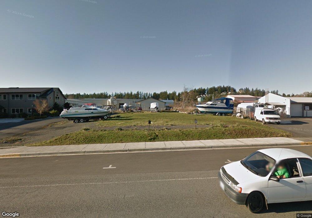
655 Mullis St Friday Harbor, WA 98250
Estimated Value: $409,000 - $604,635
Studio
--
Bath
--
Sq Ft
9,148
Sq Ft Lot
About This Home
This home is located at 655 Mullis St, Friday Harbor, WA 98250 and is currently estimated at $506,818. 655 Mullis St is a home located in San Juan County with nearby schools including Friday Harbor Elementary School, Friday Harbor Middle School, and Friday Harbor High School.
Ownership History
Date
Name
Owned For
Owner Type
Purchase Details
Closed on
May 31, 2024
Sold by
Close Michael Gordon and Close Janice Louise
Bought by
Whatco Az Llc
Current Estimated Value
Purchase Details
Closed on
May 8, 2014
Sold by
Wong Stanley L and Fong Peggy
Bought by
Close Michael Gordon and Close Janice Louise
Purchase Details
Closed on
Jun 9, 2010
Sold by
Wong Stanley L and Fong Peggy
Bought by
Wong Stanley L and Fong Peggy
Purchase Details
Closed on
Mar 19, 2008
Sold by
Marsaudon David P and Marsaudon Toni S
Bought by
Wong Stanley L and Fong Peggy
Create a Home Valuation Report for This Property
The Home Valuation Report is an in-depth analysis detailing your home's value as well as a comparison with similar homes in the area
Home Values in the Area
Average Home Value in this Area
Purchase History
| Date | Buyer | Sale Price | Title Company |
|---|---|---|---|
| Whatco Az Llc | -- | None Listed On Document | |
| Close Michael Gordon | $247,233 | Chicago Title | |
| Wong Stanley L | -- | None Available | |
| Wong Stanley L | $450,513 | Chicago Title Company |
Source: Public Records
Tax History
| Year | Tax Paid | Tax Assessment Tax Assessment Total Assessment is a certain percentage of the fair market value that is determined by local assessors to be the total taxable value of land and additions on the property. | Land | Improvement |
|---|---|---|---|---|
| 2024 | $1,414 | $336,710 | $336,710 | -- |
| 2023 | $1,414 | $240,510 | $240,510 | $0 |
| 2022 | $1,396 | $240,510 | $240,510 | $0 |
| 2021 | $1,349 | $192,410 | $192,410 | $0 |
| 2020 | $1,376 | $192,410 | $192,410 | $0 |
| 2019 | $1,362 | $192,410 | $192,410 | $0 |
| 2018 | $1,496 | $192,410 | $192,410 | $0 |
| 2017 | $1,480 | $192,410 | $192,410 | $0 |
| 2016 | $1,176 | $202,540 | $202,540 | $0 |
| 2015 | $1,176 | $155,430 | $155,430 | $0 |
| 2014 | $1,176 | $141,300 | $141,300 | $0 |
| 2012 | $1,176 | $157,000 | $157,000 | $0 |
Source: Public Records
Map
Nearby Homes
- 27 Airport Circle Dr Unit K6
- 480 Rose Ln
- 385 Marguerite Place
- 310 Spring St Unit F
- 300 Hillcrest Place
- 470 Reed St Unit 2
- 847 Argyle Ave
- 232 A St Unit R4
- 80 First St S
- 1032 Guard St
- 250 Tucker Ave Unit 37
- 250 Tucker Ave Unit 36
- 250 Tucker Ave Unit 9
- 250 Tucker Ave Unit 4
- 250 Tucker Ave Unit 3
- 250 Tucker Ave Unit 2
- 250 Tucker Ave Unit 24
- 116 Gerard Ln
- 241 Warbass Way Unit A202
- 241 Warbass Way Unit A303
- 669 Mullis St
- 605 Mullis St
- 535 Market St
- 665 Mullis St Unit B
- 665 Mullis St
- 585 Spring St
- 600 Mullis St
- 777 A/B Mullis St
- 777 Mullis St
- 777 Mullis St Unit A/B
- 777 Mullis St Unit A/B
- 699 Airport Circle Dr
- 775 Mullis St
- 555 Spring St
- 685 Spring St
- 685 Spring St
- 685 Spring St
- 685 Spring St
- 685 Spring St
- 685 Spring St Unit 153
Your Personal Tour Guide
Ask me questions while you tour the home.