655 N Greenbrook Cir Saint Joseph, MI 49085
Estimated Value: $517,053 - $583,000
4
Beds
3
Baths
3,223
Sq Ft
$169/Sq Ft
Est. Value
About This Home
This home is located at 655 N Greenbrook Cir, Saint Joseph, MI 49085 and is currently estimated at $545,263, approximately $169 per square foot. 655 N Greenbrook Cir is a home located in Berrien County with nearby schools including Upton Middle School, St. Joseph High School, and Brookview Montessori School.
Ownership History
Date
Name
Owned For
Owner Type
Purchase Details
Closed on
May 2, 2023
Sold by
Laura N Kuball Trust
Bought by
Barnes Michelle and Barnes Brendan
Current Estimated Value
Home Financials for this Owner
Home Financials are based on the most recent Mortgage that was taken out on this home.
Original Mortgage
$455,000
Outstanding Balance
$442,825
Interest Rate
6.6%
Mortgage Type
New Conventional
Estimated Equity
$102,438
Purchase Details
Closed on
Aug 17, 2010
Sold by
Kuball Laura Netedu and The Laura N Kuball Trust Agree
Bought by
Kuball Walter R and Kuball Laura N
Home Financials for this Owner
Home Financials are based on the most recent Mortgage that was taken out on this home.
Original Mortgage
$73,000
Interest Rate
4.6%
Mortgage Type
New Conventional
Purchase Details
Closed on
Jan 6, 1999
Purchase Details
Closed on
Dec 9, 1978
Purchase Details
Closed on
Nov 9, 1978
Create a Home Valuation Report for This Property
The Home Valuation Report is an in-depth analysis detailing your home's value as well as a comparison with similar homes in the area
Home Values in the Area
Average Home Value in this Area
Purchase History
| Date | Buyer | Sale Price | Title Company |
|---|---|---|---|
| Barnes Michelle | $455,000 | None Listed On Document | |
| Kuball Walter R | -- | Multiple | |
| -- | $100 | -- | |
| -- | $15,800 | -- | |
| -- | $11,500 | -- |
Source: Public Records
Mortgage History
| Date | Status | Borrower | Loan Amount |
|---|---|---|---|
| Open | Barnes Michelle | $455,000 | |
| Previous Owner | Kuball Walter R | $73,000 |
Source: Public Records
Tax History Compared to Growth
Tax History
| Year | Tax Paid | Tax Assessment Tax Assessment Total Assessment is a certain percentage of the fair market value that is determined by local assessors to be the total taxable value of land and additions on the property. | Land | Improvement |
|---|---|---|---|---|
| 2025 | $5,590 | $253,800 | $0 | $0 |
| 2024 | $4,621 | $227,700 | $0 | $0 |
| 2023 | $3,100 | $213,800 | $0 | $0 |
| 2022 | $3,583 | $186,000 | $0 | $0 |
| 2021 | $3,468 | $175,300 | $25,000 | $150,300 |
| 2020 | $3,389 | $174,300 | $0 | $0 |
| 2019 | $3,329 | $158,000 | $33,500 | $124,500 |
| 2018 | $3,264 | $158,000 | $0 | $0 |
| 2017 | $3,208 | $173,100 | $0 | $0 |
| 2016 | $3,121 | $136,000 | $0 | $0 |
| 2015 | $3,062 | $128,800 | $0 | $0 |
| 2014 | $2,527 | $128,500 | $0 | $0 |
Source: Public Records
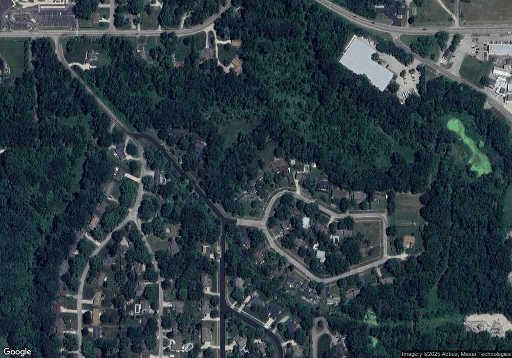
Map
Nearby Homes
- 387 E Glenlord Rd
- 527 & 529 Augsburg Pth
- 4674 &4676 Luther Path
- 3999 Deja Dr
- 4687 &4689 Luther Path
- 4711 Scottdale Rd
- 418 & 420 Wittenberg Path
- 4474 Tanglewood Trail
- 3620 Katherine Ln Unit 1
- 4010 Deja Dr
- 1173 Anna Ln
- 4478 Michigan 139
- 4605 Michigan 139
- 3545 Wyndwicke Dr
- Parcel C-1 Wyndwicke Dr
- 0 Wyndwicke Dr
- 00 Niles Rd
- 3381 Rivers Edge Dr
- 3400 Rivers Edge Dr
- 3392 Rivers Edge Dr
- 675 N Greenbrook Cir
- 645 N Greenbrook Cir
- 685 N Greenbrook Cir
- 680 Greenbrook Cir
- 665 S Greenbrook Cir
- 650 S Greenbrook Cir
- 705 N Greenbrook Cir
- 517 Torrance Dr
- 683 S Greenbrook Cir
- 660 S Greenbrook Cir
- 727 N Greenbrook Cir
- 710 N Greenbrook Cir
- 595 Torrance Dr
- 4243 Hart Dr
- 4219 Hart Dr
- 670 S Greenbrook Cir
- 4255 Hart Dr
- 703 S Greenbrook Cir
- 732 Greenbrook Cir
- 4297 Sunnymeade Dr