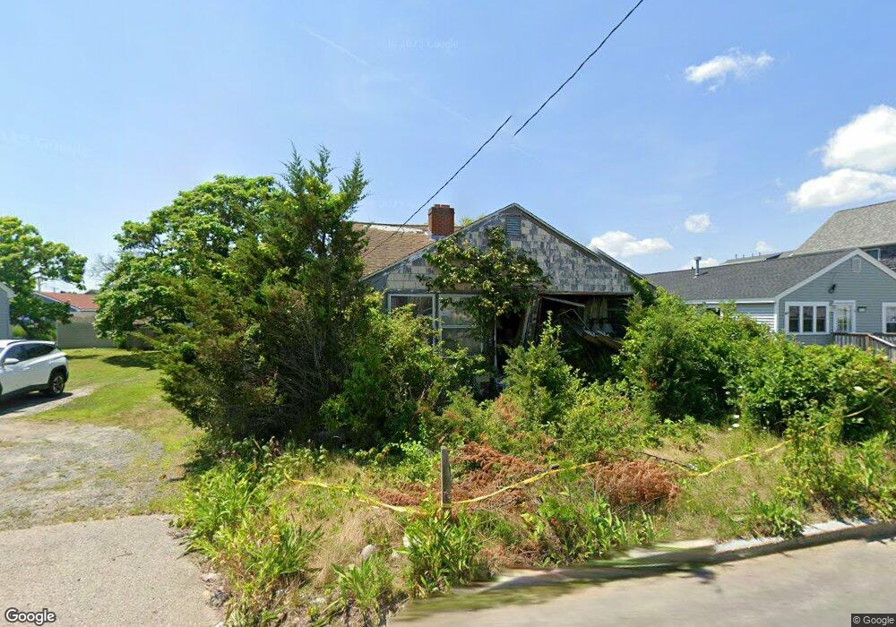
655 Ocean St Marshfield, MA 02050
Ocean Bluff-Brant Rock NeighborhoodEstimated Value: $456,000 - $594,000
2
Beds
1
Bath
788
Sq Ft
$628/Sq Ft
Est. Value
About This Home
This home is located at 655 Ocean St, Marshfield, MA 02050 and is currently estimated at $494,865, approximately $628 per square foot. 655 Ocean St is a home located in Plymouth County with nearby schools including Daniel Webster, Furnace Brook Middle School, and Marshfield High School.
Create a Home Valuation Report for This Property
The Home Valuation Report is an in-depth analysis detailing your home's value as well as a comparison with similar homes in the area
Home Values in the Area
Average Home Value in this Area
Tax History Compared to Growth
Tax History
| Year | Tax Paid | Tax Assessment Tax Assessment Total Assessment is a certain percentage of the fair market value that is determined by local assessors to be the total taxable value of land and additions on the property. | Land | Improvement |
|---|---|---|---|---|
| 2025 | $3,878 | $391,700 | $292,200 | $99,500 |
| 2024 | $3,924 | $377,700 | $278,300 | $99,400 |
| 2023 | $3,955 | $349,400 | $258,400 | $91,000 |
| 2022 | $3,793 | $292,900 | $208,700 | $84,200 |
| 2021 | $3,730 | $282,800 | $206,800 | $76,000 |
| 2020 | $3,476 | $260,800 | $188,900 | $71,900 |
| 2019 | $3,435 | $256,700 | $188,900 | $67,800 |
| 2018 | $3,432 | $256,700 | $188,900 | $67,800 |
| 2017 | $3,235 | $235,800 | $178,900 | $56,900 |
| 2016 | $3,135 | $225,900 | $169,000 | $56,900 |
| 2015 | $3,002 | $225,900 | $169,000 | $56,900 |
| 2014 | $2,825 | $212,600 | $155,100 | $57,500 |
Source: Public Records
Map
Nearby Homes