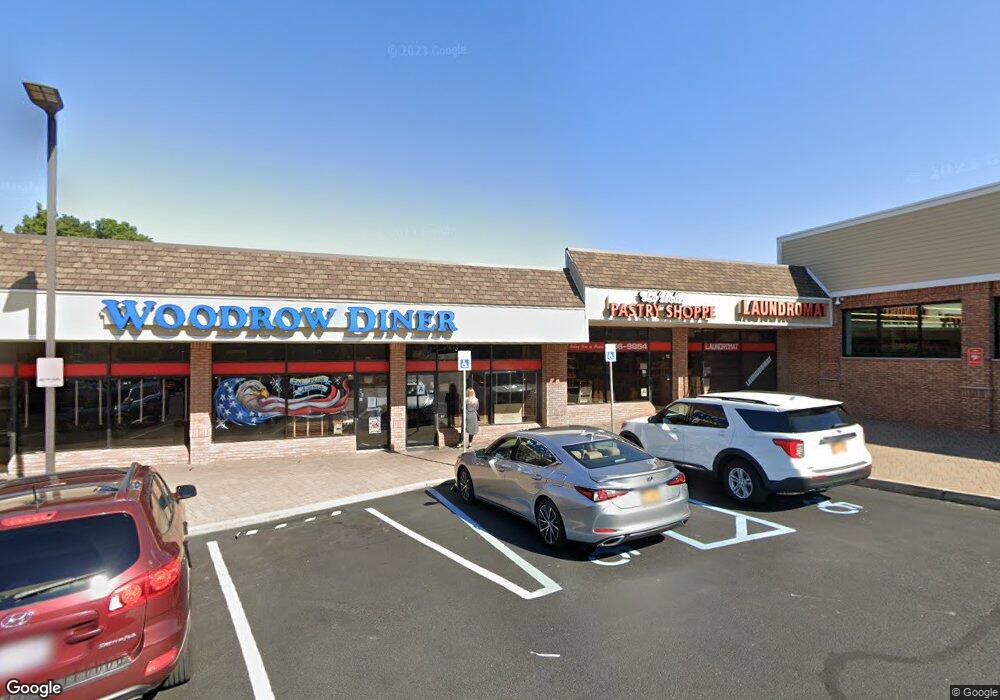
655 Rossville Ave Unit 224 Staten Island, NY 10309
Rossville Neighborhood
--
Bed
--
Bath
1,100
Sq Ft
3.14
Acres
About This Home
This home is located at 655 Rossville Ave Unit 224, Staten Island, NY 10309. 655 Rossville Ave Unit 224 is a home located in Richmond County with nearby schools including P.S. 4 - Maurice Wollin, I.S. 075 Frank D. Paulo, and Tottenville High School.
Ownership History
Date
Name
Owned For
Owner Type
Purchase Details
Closed on
Jan 16, 2004
Sold by
Rhc Development Llc
Bought by
Woodrow Plaza Llc
Home Financials for this Owner
Home Financials are based on the most recent Mortgage that was taken out on this home.
Original Mortgage
$5,920,725
Outstanding Balance
$2,749,666
Interest Rate
5.8%
Mortgage Type
Commercial
Create a Home Valuation Report for This Property
The Home Valuation Report is an in-depth analysis detailing your home's value as well as a comparison with similar homes in the area
Home Values in the Area
Average Home Value in this Area
Purchase History
| Date | Buyer | Sale Price | Title Company |
|---|---|---|---|
| Woodrow Plaza Llc | $20,000 | Title Associates Inc |
Source: Public Records
Mortgage History
| Date | Status | Borrower | Loan Amount |
|---|---|---|---|
| Open | Woodrow Plaza Llc | $5,920,725 |
Source: Public Records
Tax History Compared to Growth
Tax History
| Year | Tax Paid | Tax Assessment Tax Assessment Total Assessment is a certain percentage of the fair market value that is determined by local assessors to be the total taxable value of land and additions on the property. | Land | Improvement |
|---|---|---|---|---|
| 2025 | $457,422 | $4,253,400 | $2,151,000 | $2,102,400 |
| 2024 | $455,784 | $4,332,600 | $2,151,000 | $2,181,600 |
| 2023 | $464,095 | $4,374,720 | $2,151,000 | $2,223,720 |
| 2022 | $464,566 | $4,608,450 | $2,151,000 | $2,457,450 |
| 2021 | $372,616 | $3,484,350 | $2,151,000 | $1,333,350 |
| 2020 | $469,770 | $4,472,550 | $2,151,000 | $2,321,550 |
| 2019 | $467,744 | $4,613,400 | $2,151,000 | $2,462,400 |
| 2018 | $461,353 | $4,495,050 | $2,151,000 | $2,344,050 |
| 2017 | $455,586 | $4,578,300 | $2,151,000 | $2,427,300 |
| 2016 | $407,434 | $4,308,750 | $2,151,000 | $2,157,750 |
| 2015 | $377,988 | $4,130,550 | $2,151,000 | $1,979,550 |
| 2014 | $377,988 | $4,052,700 | $2,151,000 | $1,901,700 |
Source: Public Records
Map
Nearby Homes
- 559 Alverson Ave
- 1272 Woodrow Rd
- 0 Woodrow Rd
- 30 Alverson Loop
- 9 Mallow St
- 104 Wieland Ave
- 106 Wieland Ave
- 108 Wieland Ave
- 142 Wieland Ave
- 47 Hemlock St
- 839 Sinclair Ave
- 727 Stafford Ave
- 880 Sinclair Ave
- 629 Marcy Ave
- 816 Sinclair Ave
- 234 Gervil St
- 230 Gervil St
- 265 Ramapo Ave
- 735 Maguire Ave
- 739 Maguire Ave
- 655 Rossville Ave Unit 223
- 655 Rossville Ave Unit 213
- 655 Rossville Ave Unit 204
- 655 Rossville Ave Unit 226
- 655 Rossville Ave Unit 109
- 655 Rossville Ave
- 526 Alverson Ave
- 520 Alverson Ave
- 1243 Woodrow Rd Unit 302
- 1243 Woodrow Rd Unit 321
- 1243 Woodrow Rd
- 508 Alverson Ave
- 1235 Woodrow Rd
- 645 Rossville Ave
- 547 Alverson Ave
- 191 W Castor Place
- 502 Alverson Ave
- 1275 Woodrow Rd
- 590 Alverson Ave
- 496 Alverson Ave