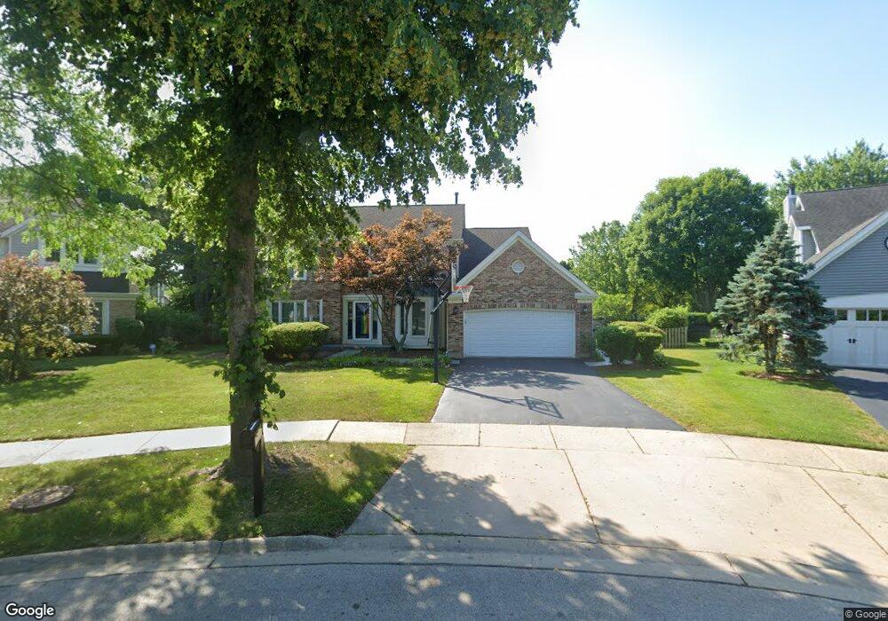
655 Vernon Ct N Buffalo Grove, IL 60089
South Buffalo Grove NeighborhoodEstimated Value: $614,000 - $634,000
4
Beds
3
Baths
2,400
Sq Ft
$260/Sq Ft
Est. Value
About This Home
This home is located at 655 Vernon Ct N, Buffalo Grove, IL 60089 and is currently estimated at $622,961, approximately $259 per square foot. 655 Vernon Ct N is a home located in Cook County with nearby schools including Henry W Longfellow Elementary School, Cooper Middle School, and Buffalo Grove High School.
Ownership History
Date
Name
Owned For
Owner Type
Purchase Details
Closed on
Nov 28, 2006
Sold by
Levin Ronald A and Levin Francine S
Bought by
Omalley Neil R and Omalley Linda K
Current Estimated Value
Home Financials for this Owner
Home Financials are based on the most recent Mortgage that was taken out on this home.
Original Mortgage
$417,000
Outstanding Balance
$251,519
Interest Rate
6.47%
Mortgage Type
Unknown
Estimated Equity
$371,442
Create a Home Valuation Report for This Property
The Home Valuation Report is an in-depth analysis detailing your home's value as well as a comparison with similar homes in the area
Home Values in the Area
Average Home Value in this Area
Purchase History
| Date | Buyer | Sale Price | Title Company |
|---|---|---|---|
| Omalley Neil R | $546,000 | Republic Title Company |
Source: Public Records
Mortgage History
| Date | Status | Borrower | Loan Amount |
|---|---|---|---|
| Open | Omalley Neil R | $417,000 |
Source: Public Records
Tax History Compared to Growth
Tax History
| Year | Tax Paid | Tax Assessment Tax Assessment Total Assessment is a certain percentage of the fair market value that is determined by local assessors to be the total taxable value of land and additions on the property. | Land | Improvement |
|---|---|---|---|---|
| 2024 | $13,021 | $36,308 | $10,556 | $25,752 |
| 2023 | $12,495 | $44,000 | $10,556 | $33,444 |
| 2022 | $12,495 | $44,000 | $10,556 | $33,444 |
| 2021 | $12,198 | $37,856 | $7,477 | $30,379 |
| 2020 | $11,949 | $37,856 | $7,477 | $30,379 |
| 2019 | $11,976 | $42,109 | $7,477 | $34,632 |
| 2018 | $12,192 | $38,838 | $6,597 | $32,241 |
| 2017 | $11,988 | $38,838 | $6,597 | $32,241 |
| 2016 | $11,414 | $38,838 | $6,597 | $32,241 |
| 2015 | $11,203 | $35,601 | $5,718 | $29,883 |
| 2014 | $11,036 | $35,601 | $5,718 | $29,883 |
| 2013 | $10,183 | $35,601 | $5,718 | $29,883 |
Source: Public Records
Map
Nearby Homes
- 665 Thornwood Dr
- 455 Mayfair Ln
- 476 Raupp Blvd
- 820 Weidner Rd Unit 409
- 250 Old Oak Dr Unit 275
- 535 Estate Dr
- 234 Mohawk Trail
- 813 Stradford Cir Unit 21B2
- 310 Rosewood Ave
- 859 Beechwood Rd
- 561 Park View Terrace Unit 153
- 410 Chatham Cir
- 3300 N Carriageway Dr Unit 317
- 443 Diane Dr
- 10 Old Oak Dr Unit 103
- 3401 N Ellen Dr
- 51 Old Oak Dr Unit 414
- 51 Old Oak Dr Unit 302
- 408 Indian Hill Dr
- 921 Bernard Dr
- 665 Vernon Ct N
- 645 Vernon Ct N
- 680 Mayfair Ln
- 670 Mayfair Ln
- 690 Mayfair Ln
- 660 Mayfair Ln
- 700 Mayfair Ln
- 635 Vernon Ct N
- 675 Vernon Ct N
- 650 Mayfair Ln
- 685 Vernon Ln
- 695 Vernon Ln
- 625 Vernon Ct N
- 640 Mayfair Ln
- 615 Vernon Ct N
- 665 Mayfair Ct S
- 620 Mayfair Ct N
- 610 Mayfair Ct N
- 715 Mayfair Ct S
- 655 Mayfair Ln