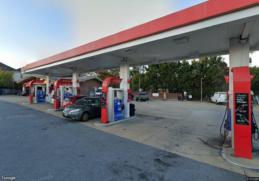
6550 Edsall Rd Alexandria, VA 22312
Estimated Value: $2,326,036
--
Bed
1
Bath
1,798
Sq Ft
$1,294/Sq Ft
Est. Value
About This Home
This home is located at 6550 Edsall Rd, Alexandria, VA 22312 and is currently estimated at $2,326,036, approximately $1,293 per square foot. 6550 Edsall Rd is a home located in Fairfax County with nearby schools including Bren Mar Park Elementary School, Holmes Middle School, and Edison High School.
Ownership History
Date
Name
Owned For
Owner Type
Purchase Details
Closed on
May 9, 2013
Sold by
Mount Vernon Petroleum Realty
Bought by
Gty Cpg Va Leasing Iii Llc
Current Estimated Value
Purchase Details
Closed on
Aug 2, 2009
Sold by
Exxon Mobil Corp
Bought by
Mount Vernon Petroleum Realty
Home Financials for this Owner
Home Financials are based on the most recent Mortgage that was taken out on this home.
Original Mortgage
$27,020,000
Interest Rate
5.47%
Mortgage Type
Construction
Create a Home Valuation Report for This Property
The Home Valuation Report is an in-depth analysis detailing your home's value as well as a comparison with similar homes in the area
Home Values in the Area
Average Home Value in this Area
Purchase History
| Date | Buyer | Sale Price | Title Company |
|---|---|---|---|
| Gty Cpg Va Leasing Iii Llc | $1,434,900 | -- | |
| Mount Vernon Petroleum Realty | $966,000 | -- |
Source: Public Records
Mortgage History
| Date | Status | Borrower | Loan Amount |
|---|---|---|---|
| Previous Owner | Mount Vernon Petroleum Realty | $27,020,000 |
Source: Public Records
Tax History Compared to Growth
Tax History
| Year | Tax Paid | Tax Assessment Tax Assessment Total Assessment is a certain percentage of the fair market value that is determined by local assessors to be the total taxable value of land and additions on the property. | Land | Improvement |
|---|---|---|---|---|
| 2025 | $16,576 | $1,310,570 | $671,000 | $639,570 |
| 2024 | $16,576 | $1,291,460 | $671,000 | $620,460 |
| 2023 | $13,829 | $1,103,200 | $565,170 | $538,030 |
| 2022 | $13,905 | $1,096,210 | $565,170 | $531,040 |
| 2021 | $14,076 | $1,084,040 | $565,170 | $518,870 |
| 2020 | $15,187 | $1,160,670 | $582,810 | $577,860 |
| 2019 | $14,781 | $1,129,620 | $582,810 | $546,810 |
| 2018 | $14,707 | $1,278,910 | $582,810 | $696,100 |
| 2017 | $13,447 | $1,045,610 | $529,900 | $515,710 |
| 2016 | $13,507 | $1,052,320 | $529,900 | $522,420 |
| 2015 | $10,857 | $874,860 | $353,530 | $521,330 |
| 2014 | $10,805 | $872,450 | $353,530 | $518,920 |
Source: Public Records
Map
Nearby Homes
- 6603 Independence Ave
- 5332 Chieftain Cir
- 5454 Patuxent Knoll Place
- 5451 Patuxent Knoll Place
- 5215 Gilpin Dr
- 5408 Danville St
- 5227 Cather Rd
- 5112 Clinton Rd
- 5213 Montgomery St
- 5611 Harrington Falls Ln
- 5281 Navaho Dr
- 5707 Callcott Way Unit H
- 6425 Montrose St
- 5608 Bloomfield Dr Unit 204
- 6369 Levtov Landing
- 5263 Broadwing Place
- 4837 Randolph Dr
- 5025 Kingston Dr
- 5024 Kingston Dr
- 6311 Burgundy Leaf Ln
- 5308 Mitchell St
- 5316 Mitchell St
- 6556 Edsall Rd
- 6546 Edsall Rd
- 6564 Edsall Rd
- 5273 Canard St
- 5304 Mitchell St
- 5309 Mitchell St
- 5271 Canard St
- 5047 Industrial Dr
- 5305 Mitchell St
- 5267 Canard St
- 5300 Mitchell St
- 5301 Mitchell St
- 6540 Edsall Rd
- 5263 Canard St
- 5407 Industrial Dr
- 5252 Mitchell St
- 6559 Edsall Rd
- 6561 Edsall Rd