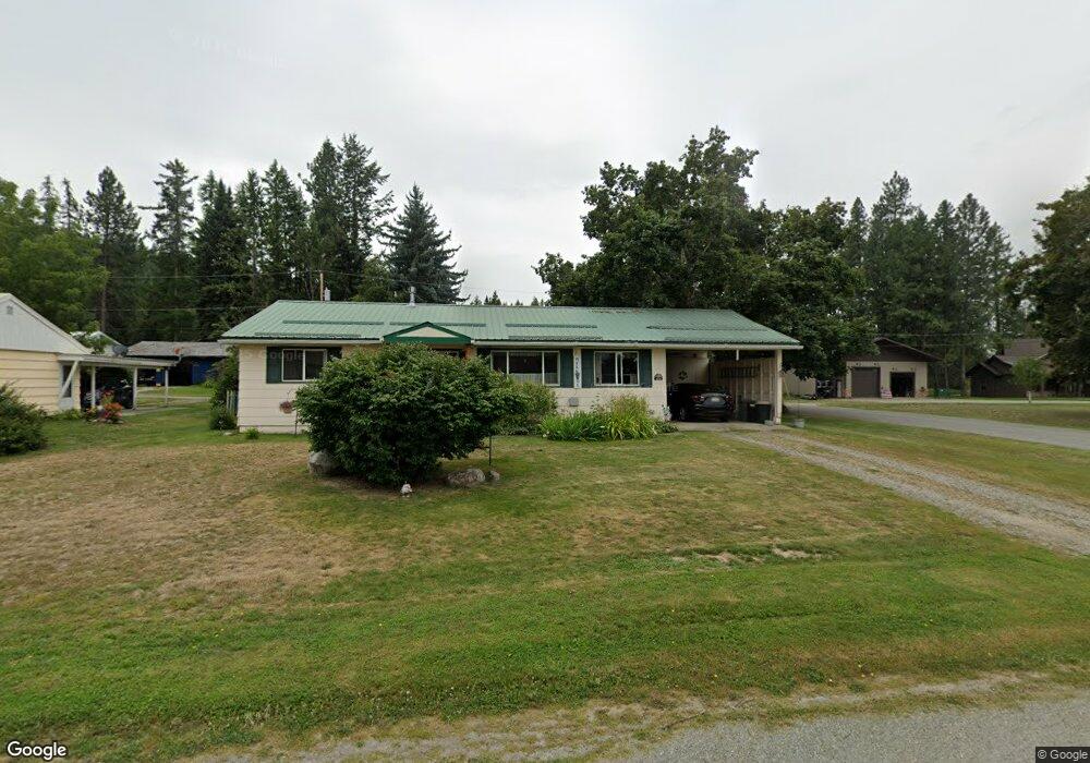
6550 Grant St Bonners Ferry, ID 83805
Estimated Value: $306,000 - $341,000
3
Beds
3
Baths
1,328
Sq Ft
$240/Sq Ft
Est. Value
About This Home
This home is located at 6550 Grant St, Bonners Ferry, ID 83805 and is currently estimated at $318,825, approximately $240 per square foot. 6550 Grant St is a home located in Boundary County with nearby schools including Bonners Ferry High School, Kootenai Valley Mennonite Church, and Mountain View Christian School.
Ownership History
Date
Name
Owned For
Owner Type
Purchase Details
Closed on
Mar 1, 2007
Sold by
Tungsten Holdings Inc
Bought by
Timmons Tommy Timothy and Timmons Dawn Marie
Current Estimated Value
Home Financials for this Owner
Home Financials are based on the most recent Mortgage that was taken out on this home.
Original Mortgage
$114,400
Outstanding Balance
$68,711
Interest Rate
6.21%
Mortgage Type
New Conventional
Estimated Equity
$250,114
Purchase Details
Closed on
Dec 29, 2006
Sold by
Cosgriff Amy A
Bought by
Ngsten Holdings Inc
Create a Home Valuation Report for This Property
The Home Valuation Report is an in-depth analysis detailing your home's value as well as a comparison with similar homes in the area
Home Values in the Area
Average Home Value in this Area
Purchase History
| Date | Buyer | Sale Price | Title Company |
|---|---|---|---|
| Timmons Tommy Timothy | -- | None Available | |
| Ngsten Holdings Inc | -- | -- |
Source: Public Records
Mortgage History
| Date | Status | Borrower | Loan Amount |
|---|---|---|---|
| Open | Timmons Tommy Timothy | $114,400 |
Source: Public Records
Tax History Compared to Growth
Tax History
| Year | Tax Paid | Tax Assessment Tax Assessment Total Assessment is a certain percentage of the fair market value that is determined by local assessors to be the total taxable value of land and additions on the property. | Land | Improvement |
|---|---|---|---|---|
| 2025 | $852 | $246,550 | $69,310 | $177,240 |
| 2024 | $852 | $245,620 | $69,310 | $176,310 |
| 2023 | $949 | $293,740 | $63,750 | $229,990 |
| 2022 | $1,240 | $293,880 | $51,360 | $242,520 |
| 2021 | $1,015 | $175,530 | $37,540 | $137,990 |
| 2020 | $1,015 | $164,670 | $35,040 | $129,630 |
| 2019 | $944 | $112,420 | $30,050 | $82,370 |
| 2018 | $920 | $106,080 | $30,050 | $76,030 |
| 2017 | $888 | $102,920 | $30,050 | $72,870 |
| 2016 | $801 | $88,070 | $30,050 | $58,020 |
| 2015 | $776 | $30,050 | $30,050 | $0 |
| 2014 | $719 | $30,050 | $30,050 | $0 |
| 2013 | -- | $30,050 | $30,050 | $0 |
Source: Public Records
Map
Nearby Homes
- 6647 Alderson Ln
- 6531 Tannenbaum Cir
- 6556 Tannenbaum Cir
- 6833 El Paso St
- 6670 Buchanan St
- 6689 Stephens St
- 6478 Van Buren St
- 6499 Van Buren St
- 273 Paradise Valley Rd
- 6850 Selkirk St
- 6840 Selkirk St
- NNA Highway 95
- 6990 Denver St
- 515377 U S Route 95
- nna U S Route 95
- 53396 U S Route 95
- Tract 2 Deep Creak Loop Rd
- 6856 Selkirk St
- NNA Cottage Ln
- NNA Tannebaum
- 6542 Grant St
- 6681 Denver St
- 6542 Sherman Alley Unit AY
- 6534 Grant St
- 6534 Sherman Alley Unit AY
- 6526 Grant St
- 6706 Denver St
- 6684 El Paso St
- 6552 Lincoln St
- 6688 Denver St
- 6522 Grant St
- 6703 Cody St
- 6739 Denver St
- 6711 Cody St
- 6541 Lincoln St
- 6531 Lincoln
- 6738 Denver St
- 6665 El Paso St
- 6711 El Paso St
- 217 Lincoln St