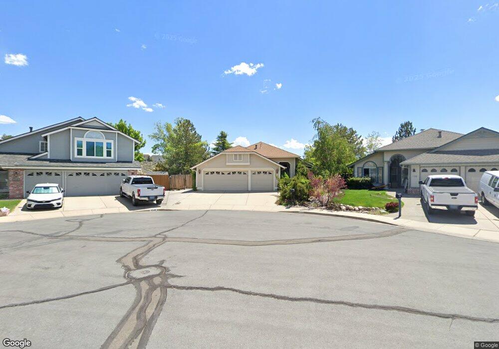
6550 Westchester Ct Reno, NV 89523
Northgate NeighborhoodEstimated Value: $628,000 - $659,000
4
Beds
2
Baths
1,842
Sq Ft
$351/Sq Ft
Est. Value
About This Home
This home is located at 6550 Westchester Ct, Reno, NV 89523 and is currently estimated at $645,801, approximately $350 per square foot. 6550 Westchester Ct is a home located in Washoe County with nearby schools including Rollan D. Melton Elementary School, B D Billinghurst Middle School, and Robert McQueen High School.
Ownership History
Date
Name
Owned For
Owner Type
Purchase Details
Closed on
Apr 23, 2024
Sold by
Krause Vonn
Bought by
Vonn Krause Living Trust and Krause
Current Estimated Value
Purchase Details
Closed on
May 23, 1996
Sold by
Bailey and Bailey Mcgah
Bought by
Krause Vonn
Home Financials for this Owner
Home Financials are based on the most recent Mortgage that was taken out on this home.
Original Mortgage
$151,350
Interest Rate
8.07%
Create a Home Valuation Report for This Property
The Home Valuation Report is an in-depth analysis detailing your home's value as well as a comparison with similar homes in the area
Home Values in the Area
Average Home Value in this Area
Purchase History
| Date | Buyer | Sale Price | Title Company |
|---|---|---|---|
| Vonn Krause Living Trust | -- | None Listed On Document | |
| Krause Vonn | $168,500 | Stewart Title |
Source: Public Records
Mortgage History
| Date | Status | Borrower | Loan Amount |
|---|---|---|---|
| Previous Owner | Krause Vonn | $151,350 |
Source: Public Records
Tax History Compared to Growth
Tax History
| Year | Tax Paid | Tax Assessment Tax Assessment Total Assessment is a certain percentage of the fair market value that is determined by local assessors to be the total taxable value of land and additions on the property. | Land | Improvement |
|---|---|---|---|---|
| 2025 | $2,927 | $119,901 | $43,575 | $76,326 |
| 2024 | $2,927 | $113,007 | $35,735 | $77,272 |
| 2023 | $2,063 | $112,886 | $39,585 | $73,301 |
| 2022 | $2,761 | $94,877 | $33,565 | $61,312 |
| 2021 | $2,683 | $87,949 | $26,775 | $61,174 |
| 2020 | $2,601 | $88,243 | $26,810 | $61,433 |
| 2019 | $2,526 | $87,445 | $26,810 | $60,635 |
| 2018 | $2,358 | $76,467 | $19,775 | $56,692 |
| 2017 | $2,291 | $75,413 | $18,515 | $56,898 |
| 2016 | $2,233 | $75,919 | $17,605 | $58,314 |
| 2015 | $1,986 | $73,192 | $15,015 | $58,177 |
| 2014 | $2,163 | $69,251 | $12,950 | $56,301 |
| 2013 | -- | $59,338 | $9,695 | $49,643 |
Source: Public Records
Map
Nearby Homes
- 6368 Springwood Dr
- 6460 Valley Wood Dr
- 2365 Red Maple Ct
- 2580 Snow Partridge Dr
- 2605 Snow Partridge Dr
- 1836 Cambridge Hills Ct
- 2273 Sapphire Ridge Way
- 1751 Glen Oaks Dr
- 6220 Valley Wood Dr
- 1931 E Minaret Cir
- 5921 Sapphire Ridge Ct
- 2730 Avenida de Landa
- 2163 3 Wood Ln
- 1651 Ashbury Ln
- 1664 Shadow Wood Rd
- 2014 Cradle Mountain Dr Unit 2
- 5765 Tappan Dr
- 5940 Platinum Ridge Ct
- 6811 Sonterra Ln
- 5950 Roxbury Ct
- 6540 Westchester Ct
- 6560 Westchester Ct
- 6570 Westchester Ct
- 6555 Westchester Ct
- 2155 Crown Point Ct
- 6580 Westchester Ct
- 2150 Crown Point Ct
- 6565 Westchester Ct
- 6575 Westchester Ct
- 6585 Westchester Ct
- 2140 Crown Point Ct
- 2145 Crown Point Ct
- 2250 Gatewood Dr
- 6595 Westchester Ct
- 2280 Gatewood Dr
- 2240 Gatewood Dr
- 2130 Crown Point Ct
- 2135 Crown Point Ct
- 2230 Gatewood Dr
- 2290 Gatewood Dr