Estimated Value: $562,715 - $664,000
4
Beds
3
Baths
2,244
Sq Ft
$273/Sq Ft
Est. Value
About This Home
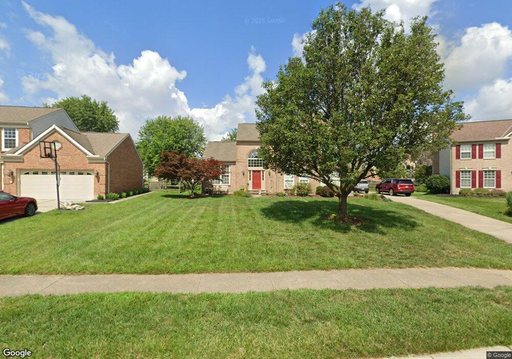
This home is located at 6551 Covefield Ct, Mason, OH 45040 and is currently estimated at $612,929, approximately $273 per square foot. 6551 Covefield Ct is a home located in Warren County with nearby schools including Mason Intermediate Elementary School, Mason Middle School, and William Mason High School.
Ownership History
Date
Name
Owned For
Owner Type
Purchase Details
Closed on
Sep 8, 1995
Sold by
Vent Drees Barlett Joint
Bought by
Carmichael Paul T and Carmichael A
Current Estimated Value
Home Financials for this Owner
Home Financials are based on the most recent Mortgage that was taken out on this home.
Original Mortgage
$157,000
Interest Rate
7.76%
Mortgage Type
New Conventional
Create a Home Valuation Report for This Property
The Home Valuation Report is an in-depth analysis detailing your home's value as well as a comparison with similar homes in the area
Home Values in the Area
Average Home Value in this Area
Purchase History
| Date | Buyer | Sale Price | Title Company |
|---|---|---|---|
| Carmichael Paul T | $196,290 | -- |
Source: Public Records
Mortgage History
| Date | Status | Borrower | Loan Amount |
|---|---|---|---|
| Closed | Carmichael Paul T | $157,000 |
Source: Public Records
Tax History Compared to Growth
Tax History
| Year | Tax Paid | Tax Assessment Tax Assessment Total Assessment is a certain percentage of the fair market value that is determined by local assessors to be the total taxable value of land and additions on the property. | Land | Improvement |
|---|---|---|---|---|
| 2024 | $6,457 | $159,090 | $49,000 | $110,090 |
| 2023 | $5,774 | $120,190 | $26,845 | $93,345 |
| 2022 | $5,700 | $120,190 | $26,845 | $93,345 |
| 2021 | $5,400 | $120,190 | $26,845 | $93,345 |
| 2020 | $5,337 | $101,857 | $22,750 | $79,107 |
| 2019 | $4,906 | $101,857 | $22,750 | $79,107 |
| 2018 | $4,922 | $101,857 | $22,750 | $79,107 |
| 2017 | $4,577 | $88,407 | $20,895 | $67,512 |
| 2016 | $4,714 | $88,407 | $20,895 | $67,512 |
| 2015 | $4,724 | $88,407 | $20,895 | $67,512 |
| 2014 | $4,523 | $78,930 | $18,660 | $60,280 |
| 2013 | $4,533 | $96,260 | $22,750 | $73,510 |
Source: Public Records
Map
Nearby Homes
- 6550 Villagefield Dr
- 6551 Farmbrooke Ct
- 6545 Farmbrooke Ct
- 6674 Villager Place Unit 153D
- 4427 Towneside Ct
- 6788 Summer Field Dr
- 4109 Old Manchester Ct
- 4762 Flagstone Dr
- 6668 Pondfield Ln
- 6768 Pondfield Ln Unit 271E
- 6557 Foxfield Dr
- 6546 S Mason Montgomery Rd
- 6309 Inverness Way
- 6303 Greenwood Ct
- 6292 Greenwood Ct
- 6334 Greenwood Ct
- 6279 Greenwood Ct
- 6346 Coverage Ct
- 6350 Coverage Ct
- 6342 Coverage Ct
- 6565 Covefield Ct
- 6541 Covefield Ct
- 6564 Villagefield Dr
- 6580 Villagefield Dr
- 6537 Covefield Ct
- 6579 Covefield Ct
- 6534 Villagefield Dr
- 6596 Villagefield Dr
- 6560 Covefield Ct
- 6540 Covefield Ct
- 6550 Covefield Ct
- 6590 Covefield Ct
- 6587 Covefield Ct
- 6608 Villagefield Dr
- 6565 Villagefield Dr
- 6549 Villagefield Dr
- 6579 Villagefield Dr
- 6601 Covefield Ct
- 6593 Villagefield Dr
- 6626 Villagefield Dr