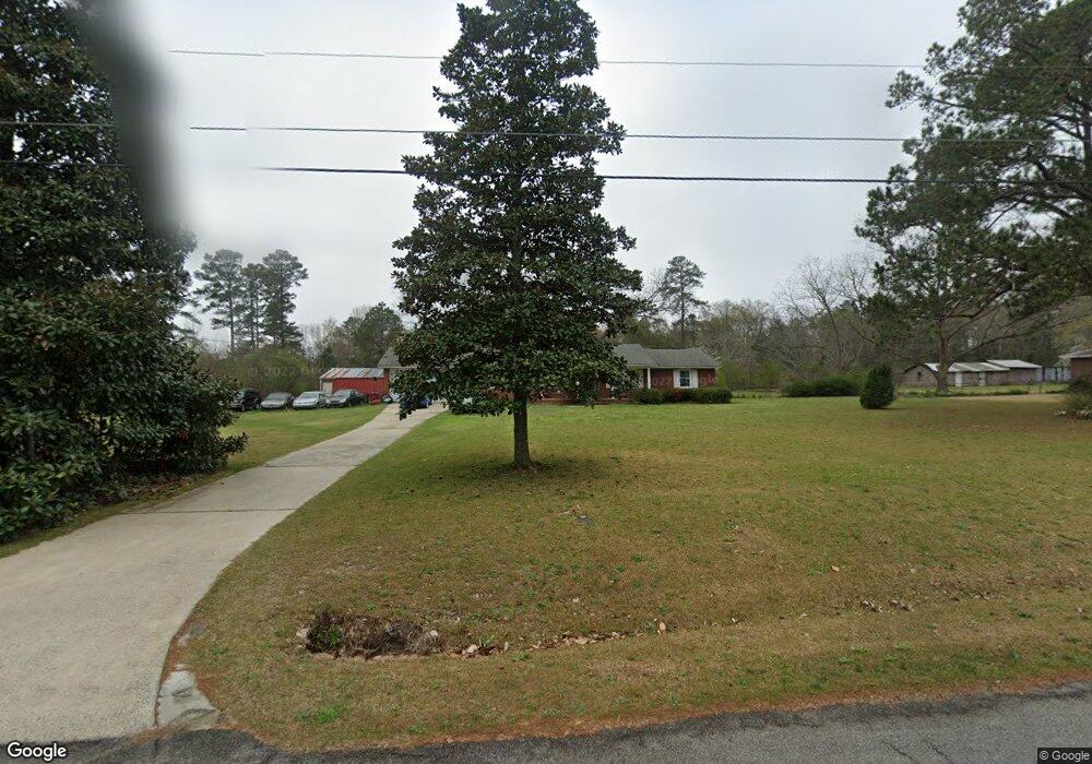
6551 Perkins Dr Macon, GA 31216
Estimated Value: $211,000 - $245,000
3
Beds
2
Baths
1,620
Sq Ft
$138/Sq Ft
Est. Value
About This Home
This home is located at 6551 Perkins Dr, Macon, GA 31216 and is currently estimated at $224,303, approximately $138 per square foot. 6551 Perkins Dr is a home located in Bibb County with nearby schools including Heard Elementary School, Rutland Middle School, and Rutland High School.
Ownership History
Date
Name
Owned For
Owner Type
Purchase Details
Closed on
Sep 29, 2015
Sold by
Purvis Gary Lee
Bought by
Purvis Gary Lee
Current Estimated Value
Purchase Details
Closed on
May 18, 2015
Sold by
Purvis Heartly Amanda
Bought by
Purvis Mildred Jones and Estate Of Gary Lee Purvis Sr
Purchase Details
Closed on
Apr 2, 2015
Sold by
Purvis Linda
Bought by
The Estate Of Gary Lee Purvis Sr
Purchase Details
Closed on
Dec 6, 1993
Sold by
Ashley-Purvis Amanda 2084 and Ashley-Purvis 428
Bought by
Purvis Gary L
Create a Home Valuation Report for This Property
The Home Valuation Report is an in-depth analysis detailing your home's value as well as a comparison with similar homes in the area
Home Values in the Area
Average Home Value in this Area
Purchase History
| Date | Buyer | Sale Price | Title Company |
|---|---|---|---|
| Purvis Gary Lee | -- | -- | |
| Purvis Mildred Jones | -- | None Available | |
| The Estate Of Gary Lee Purvis Sr | $29,400 | -- | |
| Purvis Gary L | -- | -- |
Source: Public Records
Tax History Compared to Growth
Tax History
| Year | Tax Paid | Tax Assessment Tax Assessment Total Assessment is a certain percentage of the fair market value that is determined by local assessors to be the total taxable value of land and additions on the property. | Land | Improvement |
|---|---|---|---|---|
| 2025 | $1,321 | $60,737 | $14,800 | $45,937 |
| 2024 | $1,365 | $60,737 | $14,800 | $45,937 |
| 2023 | $908 | $60,737 | $14,800 | $45,937 |
| 2022 | $1,386 | $47,018 | $13,932 | $33,086 |
| 2021 | $1,521 | $47,018 | $13,932 | $33,086 |
| 2020 | $1,554 | $47,018 | $13,932 | $33,086 |
| 2019 | $1,567 | $47,018 | $13,932 | $33,086 |
| 2018 | $2,579 | $47,018 | $13,932 | $33,086 |
| 2017 | $1,499 | $47,018 | $13,932 | $33,086 |
| 2016 | $1,385 | $47,018 | $13,932 | $33,086 |
| 2015 | $1,867 | $45,119 | $13,932 | $31,187 |
| 2014 | $625 | $45,187 | $14,000 | $31,187 |
Source: Public Records
Map
Nearby Homes
- 6662 Goodall Mill Rd
- 114 Alayna Ct
- 312 Mill Meadow Rd
- 4651 Griffin Dr
- 2165 Griffin Dr
- 334 Cody Dr
- 332 Cody Dr
- 174 Goodall Woods Dr
- 303 Cody Dr
- 191 Goodall Woods Dr
- 320 Cody Dr
- 108 Alayna Ct
- Jodeco Plan at Goodall Woods
- Sierra Plan at Goodall Woods
- Poplar Plan at Goodall Woods
- Russell Plan at Goodall Woods
- Clayton Plan at Goodall Woods
- 318 Cody Dr
- 104 Alayna Ct
- 4285 Holly Hill Dr
- 6535 Perkins Dr
- 6565 Perkins Dr
- 0 Perkins Dr
- 6550 Perkins Dr
- 6534 Perkins Dr
- 6564 Perkins Dr
- 0 Perkins Cir Unit 8104810
- 0 Perkins Cir Unit 7397476
- 0 Perkins Cir
- 6521 Perkins Dr
- 6526 Perkins Dr
- 6605 Perkins Cir
- 6694 Perkins Cir
- 6612 Perkins Cir
- 6501 Perkins Dr
- 4545 Terrell Dr
- 6611 Perkins Cir
- 6500 Perkins Dr
- 6686 Perkins Cir
- 6619 Perkins Cir