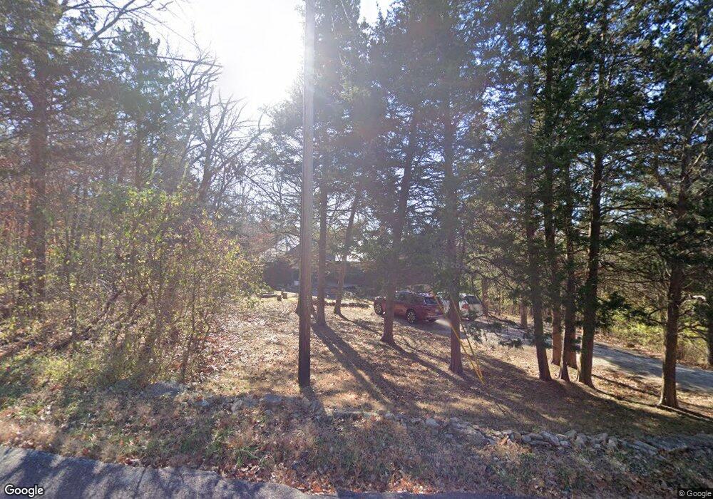
6552 Franks Rd Byrnes Mill, MO 63051
Estimated Value: $222,943 - $346,000
--
Bed
--
Bath
1,424
Sq Ft
$199/Sq Ft
Est. Value
About This Home
This home is located at 6552 Franks Rd, Byrnes Mill, MO 63051 and is currently estimated at $283,236, approximately $198 per square foot. 6552 Franks Rd is a home located in Jefferson County with nearby schools including Northwest High School and St. Anthony School.
Ownership History
Date
Name
Owned For
Owner Type
Purchase Details
Closed on
Jul 13, 2001
Sold by
Gerson Victor G and Gerson Nancee C
Bought by
Gerson Victor G and Gerson Nancee C
Current Estimated Value
Home Financials for this Owner
Home Financials are based on the most recent Mortgage that was taken out on this home.
Original Mortgage
$61,100
Interest Rate
7.18%
Mortgage Type
FHA
Create a Home Valuation Report for This Property
The Home Valuation Report is an in-depth analysis detailing your home's value as well as a comparison with similar homes in the area
Home Values in the Area
Average Home Value in this Area
Purchase History
| Date | Buyer | Sale Price | Title Company |
|---|---|---|---|
| Gerson Victor G | -- | First American Title |
Source: Public Records
Mortgage History
| Date | Status | Borrower | Loan Amount |
|---|---|---|---|
| Closed | Gerson Victor G | $61,100 |
Source: Public Records
Tax History Compared to Growth
Tax History
| Year | Tax Paid | Tax Assessment Tax Assessment Total Assessment is a certain percentage of the fair market value that is determined by local assessors to be the total taxable value of land and additions on the property. | Land | Improvement |
|---|---|---|---|---|
| 2025 | $1,440 | $21,600 | $4,000 | $17,600 |
| 2024 | $1,440 | $19,800 | $4,000 | $15,800 |
| 2023 | $1,440 | $19,800 | $4,000 | $15,800 |
| 2022 | $1,433 | $19,800 | $4,000 | $15,800 |
| 2021 | $1,410 | $19,600 | $4,000 | $15,600 |
| 2020 | $1,310 | $17,800 | $3,600 | $14,200 |
| 2019 | $1,308 | $17,800 | $3,600 | $14,200 |
| 2018 | $1,325 | $17,800 | $3,600 | $14,200 |
| 2017 | $1,274 | $17,800 | $3,600 | $14,200 |
| 2016 | $1,171 | $16,200 | $3,600 | $12,600 |
| 2015 | $1,177 | $16,200 | $3,600 | $12,600 |
| 2013 | $1,177 | $15,800 | $3,300 | $12,500 |
Source: Public Records
Map
Nearby Homes
- 3633 Log Cabin Ln
- 302 Anthony Cir
- 3279 Echo Lake Dr
- 3291 Echo Lake Dr
- 6752 Walnut Valley Dr
- 6302 Upper Byrnes Mill Rd
- 6152 Franks Rd
- 0 High Ridge Manor Resub Lot 6 Unit MIS25065011
- 0 High Ridge Manor Resub Lot 6 Unit MIS25049757
- 0 High Ridge Manor Resub Lot 7 Unit MAR25011806
- 0 Old Gravois Rd
- 3901 Olde Mill Dr
- 3928 Southridge Trail
- 45 Rd
- 6866 Twin River Rd
- 6144 Misty Meadow Dr
- 3303 Byrnes Mill Rd
- 192 Bobwhite Ln Unit 192
- 5916 Roger Rd
- 0 Manor Crest Dr Unit MIS25054810
- 6534 Franks Rd
- 6532 Franks Rd
- 6564 Franks Rd
- 6512 Franks Rd
- 6572 Franks Rd Unit none
- 6572 Franks Rd
- 3536 Narragansett Dr
- 6555 Franks Rd
- 6482 Franks Rd
- 6549 Franks Rd
- 6500 Franks Rd
- 6485 Franks Rd
- 3554 Narragansett Dr
- 3500 Narragansett Dr
- 3618 Sandy Bluff Dr
- 3566 Narragansett Dr
- 6479 Franks Rd
- 3625 Sandy Bluff Dr
- 3620 Sandy Bluff Dr
- 0lot 3 Sandy Bluff Dr