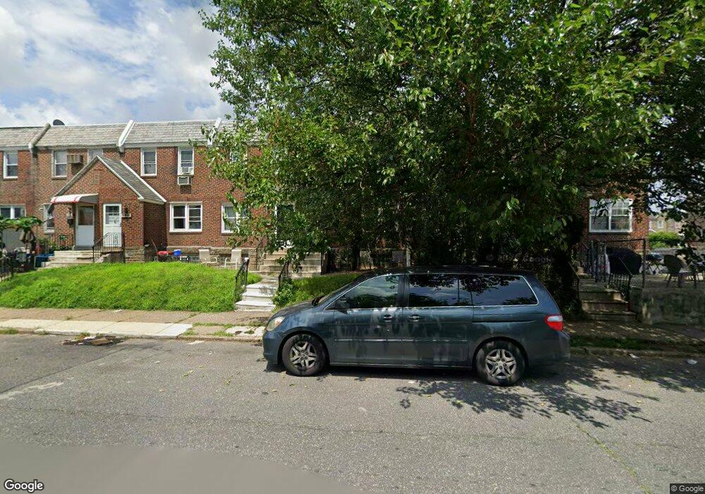
6552 Horrocks St Philadelphia, PA 19149
Castor Gardens NeighborhoodEstimated Value: $190,000 - $228,000
3
Beds
1
Bath
1,120
Sq Ft
$189/Sq Ft
Est. Value
About This Home
This home is located at 6552 Horrocks St, Philadelphia, PA 19149 and is currently estimated at $211,323, approximately $188 per square foot. 6552 Horrocks St is a home located in Philadelphia County with nearby schools including Gilbert Spruance School, Northeast High School, and Gospel of Grace Christian School.
Ownership History
Date
Name
Owned For
Owner Type
Purchase Details
Closed on
Mar 23, 2010
Sold by
Henry James
Bought by
Lu Zhiming and Sun Na Sha
Current Estimated Value
Home Financials for this Owner
Home Financials are based on the most recent Mortgage that was taken out on this home.
Original Mortgage
$73,600
Interest Rate
5.02%
Mortgage Type
New Conventional
Purchase Details
Closed on
Mar 19, 2009
Sold by
Renton Douglas G
Bought by
Henry James
Create a Home Valuation Report for This Property
The Home Valuation Report is an in-depth analysis detailing your home's value as well as a comparison with similar homes in the area
Home Values in the Area
Average Home Value in this Area
Purchase History
| Date | Buyer | Sale Price | Title Company |
|---|---|---|---|
| Lu Zhiming | $92,000 | First American Title Ins Co | |
| Henry James | $49,984 | None Available |
Source: Public Records
Mortgage History
| Date | Status | Borrower | Loan Amount |
|---|---|---|---|
| Closed | Lu Zhiming | $73,600 |
Source: Public Records
Tax History Compared to Growth
Tax History
| Year | Tax Paid | Tax Assessment Tax Assessment Total Assessment is a certain percentage of the fair market value that is determined by local assessors to be the total taxable value of land and additions on the property. | Land | Improvement |
|---|---|---|---|---|
| 2025 | $2,382 | $198,700 | $39,740 | $158,960 |
| 2024 | $2,382 | $198,700 | $39,740 | $158,960 |
| 2023 | $2,382 | $170,200 | $34,040 | $136,160 |
| 2022 | $1,753 | $125,200 | $34,040 | $91,160 |
| 2021 | $1,741 | $0 | $0 | $0 |
| 2020 | $1,741 | $0 | $0 | $0 |
| 2019 | $1,671 | $0 | $0 | $0 |
| 2018 | $1,543 | $0 | $0 | $0 |
| 2017 | $1,543 | $0 | $0 | $0 |
| 2016 | $10,768 | $0 | $0 | $0 |
| 2015 | $10,768 | $0 | $0 | $0 |
| 2014 | -- | $110,200 | $16,099 | $94,101 |
| 2012 | -- | $14,080 | $1,755 | $12,325 |
Source: Public Records
Map
Nearby Homes
- 1535 Hellerman St
- 6621 Sylvester St
- 6640 Souder St
- 6627 Oakland St
- 1500 Hellerman St
- 1501 Elbridge St
- 6626 Lynford St
- 6725 Eastwood St
- 6739 Lynford St
- 1437 Magee Ave
- 1431 Greeby St
- 6826 Sylvester St
- 6829 Horrocks St
- 1425 Fanshawe St
- 1412 Magee Ave
- 6827 Lynford St
- 1409 Greeby St
- 6300 Eastwood St
- 6834 Large St
- 1417 Unruh Ave
- 6554 Horrocks St
- 6550 Horrocks St
- 6556 Horrocks St
- 6548 Horrocks St
- 6546 Horrocks St
- 6544 Horrocks St
- 6542 Horrocks St
- 6549 Souder St
- 6547 Souder St
- 6551 Souder St
- 6553 Souder St
- 6553 Souder St Unit 1 ST FL
- 6545 Souder St
- 6540 Horrocks St
- 6543 Souder St
- 6538 Horrocks St
- 6541 Souder St
- 6536 Horrocks St
- 6539 Souder St
- 6537 Souder St