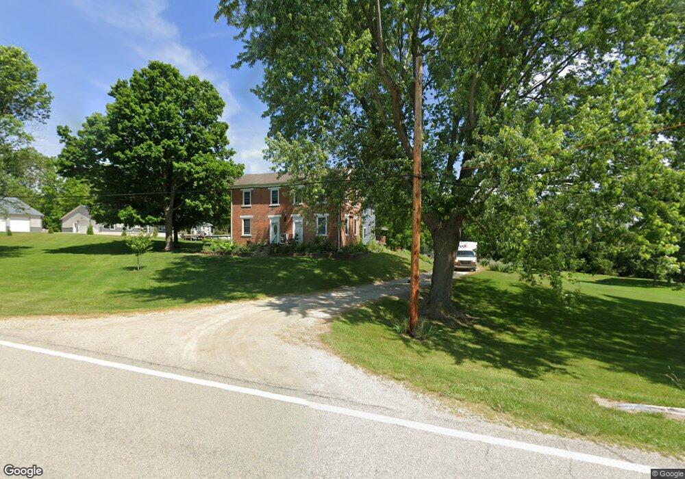
6554 State Route 722 Arcanum, OH 45304
Estimated Value: $322,114 - $418,000
4
Beds
2
Baths
3,821
Sq Ft
$99/Sq Ft
Est. Value
About This Home
This home is located at 6554 State Route 722, Arcanum, OH 45304 and is currently estimated at $377,529, approximately $98 per square foot. 6554 State Route 722 is a home located in Darke County with nearby schools including Arcanum Elementary School, Butler Middle School, and Arcanum High School.
Ownership History
Date
Name
Owned For
Owner Type
Purchase Details
Closed on
Nov 2, 2020
Sold by
Macy Gerald W and Macy Marsha G
Bought by
Macy Matthew W and Macy Heather N
Current Estimated Value
Home Financials for this Owner
Home Financials are based on the most recent Mortgage that was taken out on this home.
Original Mortgage
$185,000
Interest Rate
2.7%
Mortgage Type
New Conventional
Purchase Details
Closed on
Nov 9, 2018
Sold by
Garbig Phillip R
Bought by
Macy Gerald W and Macy Marsha G
Create a Home Valuation Report for This Property
The Home Valuation Report is an in-depth analysis detailing your home's value as well as a comparison with similar homes in the area
Purchase History
| Date | Buyer | Sale Price | Title Company |
|---|---|---|---|
| Macy Matthew W | $240,000 | None Available | |
| Macy Gerald W | -- | None Available | |
| Garbig Phillip R | -- | None Available |
Source: Public Records
Mortgage History
| Date | Status | Borrower | Loan Amount |
|---|---|---|---|
| Previous Owner | Macy Matthew W | $185,000 |
Source: Public Records
Tax History
| Year | Tax Paid | Tax Assessment Tax Assessment Total Assessment is a certain percentage of the fair market value that is determined by local assessors to be the total taxable value of land and additions on the property. | Land | Improvement |
|---|---|---|---|---|
| 2025 | $2,978 | $85,960 | $10,240 | $75,720 |
| 2024 | $2,978 | $85,960 | $10,240 | $75,720 |
| 2023 | $2,983 | $85,960 | $10,240 | $75,720 |
| 2022 | $3,021 | $78,320 | $8,790 | $69,530 |
| 2021 | $2,187 | $56,200 | $8,790 | $47,410 |
| 2020 | $1,790 | $56,200 | $8,790 | $47,410 |
| 2019 | $1,489 | $48,300 | $8,790 | $39,510 |
| 2018 | $1,881 | $48,300 | $8,790 | $39,510 |
| 2017 | $1,527 | $58,830 | $18,940 | $39,890 |
| 2016 | $1,528 | $51,750 | $15,130 | $36,620 |
| 2015 | $1,528 | $51,750 | $15,130 | $36,620 |
| 2014 | $1,547 | $51,750 | $15,130 | $36,620 |
| 2013 | $1,499 | $48,150 | $14,850 | $33,300 |
Source: Public Records
Map
Nearby Homes
- 0 Ohio 722 Unit 10052561
- 0 Ohio 722 Unit 949232
- 0 Ohio 722 Unit 1042963
- 6614 Otterbein-Ithaca Rd
- 6614 Otterbein Ithaca Rd
- 0 Friday Rd
- 7404 Grubbs Rex Rd
- 405 East St
- 7888 Darke Preble County Line Rd
- 7888 Darke Preble Co Line Rd
- 404 W 1st St
- 246 N Main St
- 2 N Main St
- 210 E South St
- 201 W George St
- 111 N Main St
- 4790 Grubbs Rex Rd
- 9 Harvest Dr
- 6051 Sonora Rd
- 408 N Main St
- 6540 State Route 722
- 6551 State Route 722
- 6508 State Route 722
- 6581 State Route 722
- 6461 State Route 722
- 6461 Ohio 722
- 0 Friday Unit 1038693
- 0 Friday Unit 607834
- 6641 State Route 722
- 660 State Route 503
- 708 State Route 503
- 6429 State Route 722
- 673 State Route 503
- 6576 Clark Rd
- 6546 Clark Rd
- 665 State Route 503
- 6592 Clark Rd
- 6680 Clark Rd
- 639 State Route 503
- 0 Sr 722 Unit 453501
Your Personal Tour Guide
Ask me questions while you tour the home.