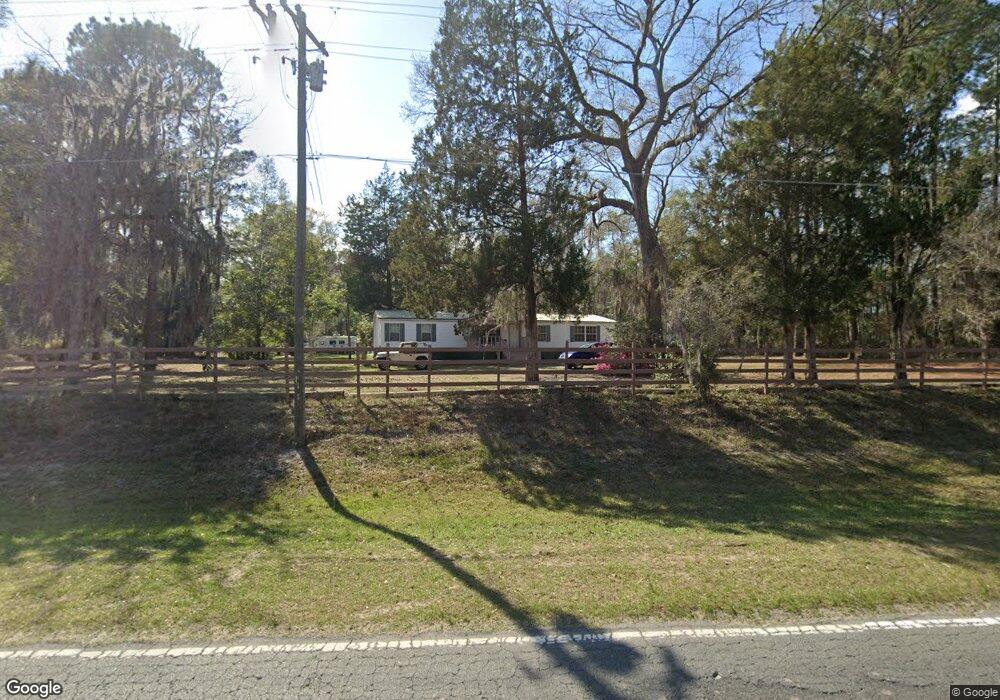
6555 Browntown Rd Waynesville, GA 31566
Estimated Value: $74,000 - $140,000
3
Beds
2
Baths
1,848
Sq Ft
$58/Sq Ft
Est. Value
About This Home
This home is located at 6555 Browntown Rd, Waynesville, GA 31566 and is currently estimated at $107,000, approximately $57 per square foot. 6555 Browntown Rd is a home located in Brantley County with nearby schools including Waynesville Primary School, Atkinson Elementary School, and Brantley County Middle School.
Ownership History
Date
Name
Owned For
Owner Type
Purchase Details
Closed on
Jun 10, 2025
Sold by
Craft Richard
Bought by
Coast Land Investments Llc
Current Estimated Value
Home Financials for this Owner
Home Financials are based on the most recent Mortgage that was taken out on this home.
Original Mortgage
$48,000
Outstanding Balance
$47,325
Interest Rate
6.76%
Mortgage Type
Mortgage Modification
Estimated Equity
$59,675
Purchase Details
Closed on
Mar 9, 2023
Sold by
Craft Richard
Bought by
Lowman Cassie D
Home Financials for this Owner
Home Financials are based on the most recent Mortgage that was taken out on this home.
Original Mortgage
$85,000
Interest Rate
6.12%
Mortgage Type
Mortgage Modification
Purchase Details
Closed on
Aug 11, 2021
Sold by
Elias Edward Salem
Bought by
Craft Richard
Create a Home Valuation Report for This Property
The Home Valuation Report is an in-depth analysis detailing your home's value as well as a comparison with similar homes in the area
Home Values in the Area
Average Home Value in this Area
Purchase History
| Date | Buyer | Sale Price | Title Company |
|---|---|---|---|
| Coast Land Investments Llc | $60,000 | -- | |
| Lowman Cassie D | $100,000 | -- | |
| Craft Richard | $107,000 | -- |
Source: Public Records
Mortgage History
| Date | Status | Borrower | Loan Amount |
|---|---|---|---|
| Open | Coast Land Investments Llc | $48,000 | |
| Previous Owner | Lowman Cassie D | $85,000 |
Source: Public Records
Tax History Compared to Growth
Tax History
| Year | Tax Paid | Tax Assessment Tax Assessment Total Assessment is a certain percentage of the fair market value that is determined by local assessors to be the total taxable value of land and additions on the property. | Land | Improvement |
|---|---|---|---|---|
| 2024 | $933 | $20,412 | $3,080 | $17,332 |
| 2023 | $328 | $9,764 | $3,942 | $5,822 |
| 2022 | $280 | $8,164 | $3,942 | $4,222 |
| 2021 | $286 | $9,938 | $0 | $9,938 |
| 2020 | $294 | $9,937 | $0 | $9,937 |
| 2019 | $294 | $10,056 | $0 | $10,056 |
| 2018 | $340 | $10,056 | $0 | $10,056 |
| 2017 | $340 | $10,056 | $0 | $10,056 |
| 2016 | $305 | $9,907 | $0 | $9,907 |
Source: Public Records
Map
Nearby Homes
- 0 Joseph Wiggins Mineral Springs Rd Rd Unit 1615893
- 544 Mineral Springs Rd
- 123 Daniel St
- 48 Hawks Way
- 7535 Browntown Rd
- 53 Hawks Landing Dr
- 781 Stafford Rd
- 3069 Mineral Springs Rd
- Off Dogwood Rd
- 227 Fred Ave
- 267 Clinton Ave
- 0 Dogwood Rd
- 121 Red Gate Rd
- 1089 Picketts Mill Trail
- V/L 41 Fox Ridge
- V/L 42 Fox Ridge
- V/L 43 Fox Ridge
- V/L 40 Fox Ridge
- Lot 80 Picketts Mill Trail
- Lot 93 Picketts Mill Trail
- 6643 Browntown Rd
- 6642 Browntown Rd
- 6729 Browntown Rd
- 105 Ravenwood Rd
- 6451 Browntown Rd
- 190 Ravenwood Rd
- 6716 Browntown Rd
- 11136 Browntown Rd
- 6766 Browntown Rd
- 6784 Browntown Rd
- 6771 Browntown Rd
- 6783 Browntown Rd
- 6830 Browntown Rd
- 299 Ravenwood Rd
- 6840 Browntown Rd
- 6845 Browntown Rd
- 349 Scott Rd
- 6856 Browntown Rd
- 68 Scott Rd
- 140 Daniel Rd