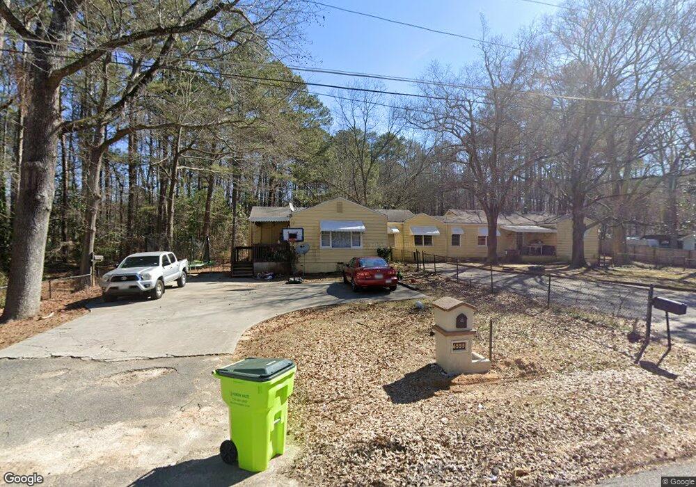
6555 Gordon Ln Unit 6565 Austell, GA 30168
Estimated Value: $277,000 - $401,000
6
Beds
4
Baths
2,689
Sq Ft
$121/Sq Ft
Est. Value
About This Home
This home is located at 6555 Gordon Ln Unit 6565, Austell, GA 30168 and is currently estimated at $324,331, approximately $120 per square foot. 6555 Gordon Ln Unit 6565 is a home located in Cobb County with nearby schools including Bryant Elementary School, Lindley Middle School, and Pebblebrook High School.
Ownership History
Date
Name
Owned For
Owner Type
Purchase Details
Closed on
Mar 23, 2016
Sold by
Furr Jere
Bought by
Furr Jere and King Larry D
Current Estimated Value
Purchase Details
Closed on
Mar 17, 2016
Sold by
Furr Judith S
Bought by
Stinson Tambria R
Purchase Details
Closed on
Feb 19, 2015
Sold by
Stinson Tambria R
Bought by
Furr Judith Stephany
Purchase Details
Closed on
Jun 18, 2014
Sold by
Furr Judy S
Bought by
Stinson Tambria R and Radcliffe Jeffret Scott
Create a Home Valuation Report for This Property
The Home Valuation Report is an in-depth analysis detailing your home's value as well as a comparison with similar homes in the area
Home Values in the Area
Average Home Value in this Area
Purchase History
| Date | Buyer | Sale Price | Title Company |
|---|---|---|---|
| Furr Jere | $38,100 | -- | |
| King Larry D | $38,100 | -- | |
| Stinson Tambria R | -- | -- | |
| Furr Judith Stephany | -- | -- | |
| Stinson Tambria R | -- | -- |
Source: Public Records
Tax History Compared to Growth
Tax History
| Year | Tax Paid | Tax Assessment Tax Assessment Total Assessment is a certain percentage of the fair market value that is determined by local assessors to be the total taxable value of land and additions on the property. | Land | Improvement |
|---|---|---|---|---|
| 2025 | $3,357 | $111,420 | $36,480 | $74,940 |
| 2024 | $3,359 | $111,420 | $36,480 | $74,940 |
| 2023 | $2,938 | $97,432 | $36,480 | $60,952 |
| 2022 | $2,216 | $73,000 | $23,040 | $49,960 |
| 2021 | $1,881 | $61,980 | $19,968 | $42,012 |
| 2020 | $1,741 | $57,372 | $15,360 | $42,012 |
| 2019 | $1,741 | $57,372 | $15,360 | $42,012 |
| 2018 | $1,406 | $46,332 | $8,832 | $37,500 |
| 2017 | $429 | $14,920 | $2,536 | $12,384 |
| 2016 | $974 | $33,884 | $5,760 | $28,124 |
| 2015 | $997 | $33,840 | $3,840 | $30,000 |
| 2014 | $879 | $29,584 | $0 | $0 |
Source: Public Records
Map
Nearby Homes
- 760 W Starling Dr SW
- 1086 S Gordon Rd
- 846 Orris Ln SW
- 767 Kenneth Ln SW
- 760 Wade Farm Dr
- 6251 Honeybell Alley
- 1202 Pisgah Rd SW
- 6281 Denny Ln SW
- 6609 Crossing Creek Point
- 6266 Britt Rd SW
- 6302 Mount Pisgah Ln
- 1142 Hembree Ln
- 377 Waterbluff Dr SW
- 373 Waterbluff Dr SW
- 817 Revena Dr
- 1065 Stoney Creek Ln Unit 2
- 369 Waterbluff Dr SW
- 6575 Gordon Ln
- 6550 Gordon Ln
- 6588 Gordon Ln
- 0 Gordon Ln Unit 7358376
- 0 Gordon Ln Unit 8825516
- 6592 Gordon Ln
- 925 Ellison Ct Unit 925
- 925 Ellison Ct
- 990 Ellison Ct
- 885 Gardner St
- 875 Gardner St
- 929 Ellison Ct Unit 2
- 6500 Gordon Ln
- 986 Ellison Ct
- 981 Ellison Ct
- 0 Ellison Ct Unit 3182682
- 0 Ellison Ct Unit 3198032
- 855 Gardner St
- 882 Gardner St
- 982 Ellison Ct