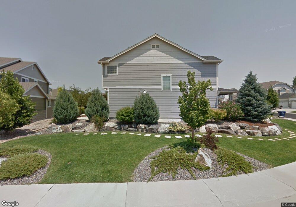
6555 S Rifle Way Aurora, CO 80016
The Farm-Arapahoe NeighborhoodEstimated Value: $786,889 - $848,000
4
Beds
4
Baths
4,130
Sq Ft
$198/Sq Ft
Est. Value
About This Home
This home is located at 6555 S Rifle Way, Aurora, CO 80016 and is currently estimated at $816,722, approximately $197 per square foot. 6555 S Rifle Way is a home located in Arapahoe County with nearby schools including Fox Hollow Elementary School, Liberty Middle School, and Grandview High School.
Ownership History
Date
Name
Owned For
Owner Type
Purchase Details
Closed on
Aug 23, 2010
Sold by
Mccrary Bryan C and Mccrary Heather
Bought by
Lee Jaeho and Kim Sunhee
Current Estimated Value
Home Financials for this Owner
Home Financials are based on the most recent Mortgage that was taken out on this home.
Original Mortgage
$288,000
Outstanding Balance
$190,972
Interest Rate
4.6%
Mortgage Type
New Conventional
Estimated Equity
$625,750
Purchase Details
Closed on
Aug 2, 2004
Sold by
Melody Homes Inc
Bought by
Mccrary Bryan C and Mccrary Heather
Home Financials for this Owner
Home Financials are based on the most recent Mortgage that was taken out on this home.
Original Mortgage
$181,109
Interest Rate
6.18%
Mortgage Type
Purchase Money Mortgage
Create a Home Valuation Report for This Property
The Home Valuation Report is an in-depth analysis detailing your home's value as well as a comparison with similar homes in the area
Home Values in the Area
Average Home Value in this Area
Purchase History
| Date | Buyer | Sale Price | Title Company |
|---|---|---|---|
| Lee Jaeho | $360,000 | Land Title Guarantee Company | |
| Mccrary Bryan C | $396,109 | Land Title Guarantee Company |
Source: Public Records
Mortgage History
| Date | Status | Borrower | Loan Amount |
|---|---|---|---|
| Open | Lee Jaeho | $288,000 | |
| Previous Owner | Mccrary Bryan C | $181,109 |
Source: Public Records
Tax History Compared to Growth
Tax History
| Year | Tax Paid | Tax Assessment Tax Assessment Total Assessment is a certain percentage of the fair market value that is determined by local assessors to be the total taxable value of land and additions on the property. | Land | Improvement |
|---|---|---|---|---|
| 2024 | $5,494 | $50,384 | -- | -- |
| 2023 | $5,494 | $50,384 | $0 | $0 |
| 2022 | $4,601 | $39,365 | $0 | $0 |
| 2021 | $4,633 | $39,365 | $0 | $0 |
| 2020 | $4,679 | $39,926 | $0 | $0 |
| 2019 | $4,660 | $39,926 | $0 | $0 |
| 2018 | $4,427 | $36,252 | $0 | $0 |
| 2017 | $4,359 | $36,252 | $0 | $0 |
| 2016 | $4,711 | $35,637 | $0 | $0 |
| 2015 | $4,542 | $35,637 | $0 | $0 |
| 2014 | -- | $29,953 | $0 | $0 |
| 2013 | -- | $29,470 | $0 | $0 |
Source: Public Records
Map
Nearby Homes
- 6553 S Sedalia St
- 17613 E Peakview Ave
- 6598 S Telluride St
- 16839 E Caley Cir
- 6269 S Yampa Ct
- 6368 S Walden Way
- 16893 E Lake Place
- 6043 S Waco St
- 6102 S Yampa St
- 7400 S Parker Rd
- 19052 E Briarwood Dr
- 6492 S Piney Creek Cir
- 5766 S Truckee Ct
- 17223 E Ida Place
- 16360 E Fremont Ave Unit 7
- 16366 E Fremont Ave Unit 11
- 7370 S Yampa St
- 16352 E Fremont Ave Unit 6
- 16340 E Fremont Ave Unit 6
- 16392 E Fremont Ave Unit 12
- 6547 S Rifle Way
- 6577 S Rifle Way
- 6545 S Rifle Way
- 6564 S Rifle Way
- 6581 S Rifle Way
- 6562 S Rifle Way
- 6548 S Rifle Way
- 6552 S Rifle Way
- 6530 S Rifle Ct
- 6578 S Rifle Way
- 6546 S Rifle Way
- 6554 S Rifle Way
- 6531 S Rifle Way
- 6550 S Rifle Ct
- 6582 S Rifle Way
- 6544 S Rifle Way
- 6583 S Rifle Way
- 17533 E Euclid Ave
- 17563 E Euclid Ave
- 6526 S Rifle Ct