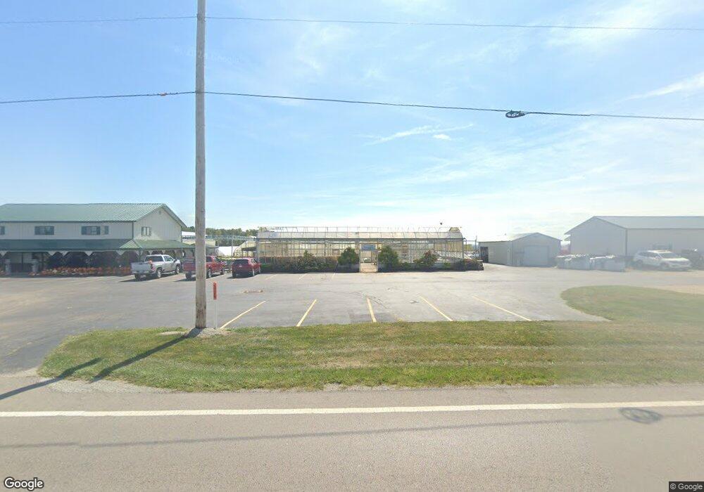
6555 S State Route 73 Wilmington, OH 45177
Estimated Value: $202,000 - $317,000
3
Beds
1
Bath
1,738
Sq Ft
$157/Sq Ft
Est. Value
About This Home
This home is located at 6555 S State Route 73, Wilmington, OH 45177 and is currently estimated at $272,147, approximately $156 per square foot. 6555 S State Route 73 is a home located in Clinton County with nearby schools including East End Elementary School, Roy E. Holmes Elementary School, and Denver Place Elementary School.
Ownership History
Date
Name
Owned For
Owner Type
Purchase Details
Closed on
Aug 20, 2018
Sold by
Price Connie Ann and The Estate Of James Richard Wi
Bought by
Williams Darryl Ames
Current Estimated Value
Purchase Details
Closed on
May 14, 2007
Sold by
Kimberlin Norman L
Bought by
Banque Portfolio Corp
Purchase Details
Closed on
Aug 23, 1999
Sold by
Bernard Nancy W
Bought by
Kimberlin Norman L and Kimberlin Tonya S
Home Financials for this Owner
Home Financials are based on the most recent Mortgage that was taken out on this home.
Original Mortgage
$99,219
Interest Rate
7.7%
Mortgage Type
FHA
Purchase Details
Closed on
Jan 28, 1997
Bought by
Bernard Nancy W
Create a Home Valuation Report for This Property
The Home Valuation Report is an in-depth analysis detailing your home's value as well as a comparison with similar homes in the area
Home Values in the Area
Average Home Value in this Area
Purchase History
| Date | Buyer | Sale Price | Title Company |
|---|---|---|---|
| Williams Darryl Ames | $29,100 | None Available | |
| Banque Portfolio Corp | $79,333 | -- | |
| Kimberlin Norman L | $100,038 | -- | |
| Bernard Nancy W | -- | -- |
Source: Public Records
Mortgage History
| Date | Status | Borrower | Loan Amount |
|---|---|---|---|
| Previous Owner | Kimberlin Norman L | $99,219 |
Source: Public Records
Tax History Compared to Growth
Tax History
| Year | Tax Paid | Tax Assessment Tax Assessment Total Assessment is a certain percentage of the fair market value that is determined by local assessors to be the total taxable value of land and additions on the property. | Land | Improvement |
|---|---|---|---|---|
| 2024 | $2,014 | $58,460 | $13,270 | $45,190 |
| 2023 | $2,014 | $58,460 | $13,270 | $45,190 |
| 2022 | $1,590 | $42,770 | $6,560 | $36,210 |
| 2021 | $1,607 | $42,770 | $6,560 | $36,210 |
| 2020 | $1,570 | $42,770 | $6,560 | $36,210 |
| 2019 | $1,526 | $38,820 | $6,560 | $32,260 |
| 2018 | $1,474 | $38,820 | $6,560 | $32,260 |
| 2017 | $1,437 | $38,820 | $6,560 | $32,260 |
| 2016 | $1,384 | $37,230 | $6,710 | $30,520 |
| 2015 | $1,310 | $37,230 | $6,710 | $30,520 |
| 2013 | $1,297 | $35,520 | $7,450 | $28,070 |
Source: Public Records
Map
Nearby Homes
- 00 Mccoy Rd
- 816 Farmers Rd
- 1200 Farmers Rd
- 3657 Farmers Rd
- 162 Knolls Dr
- 288 Clark Rd
- 75 Lynne Ln
- 85 Lakeview Place
- 82 Lynne Ln
- 265 Leslie Dr
- 0 Ohio 134
- 0 Us Rt 22 & 3 Unit 1838150
- 3511 Us Rt 22 & 3
- 0 Fairway Dr Unit 1689816
- 354 Darbyshire Dr
- 1046 Fife Ave
- 421 Silver Creek Dr
- 0 Rombach Ave Unit 1846041
- 62 Applegate St
- 243 S Wall St
- 6599 S State Route 73
- 6493 Ohio 73
- 6493 S State Route 73
- 6534 S State Route 73
- 6655 S State Route 73
- 6655 Ohio 73
- 6406 S State Route 73
- 6685 S State Route 73
- 6716 Ohio 73
- 6716 S State Route 73
- 6716 S Sr 73
- 35 School Rd
- 195 School Rd
- 245 School Rd
- 391 School Rd
- 180 School Rd
- 291 School Rd
- 6266 S State Route 73
- 6266 S State Route 73
- 260 School Rd
