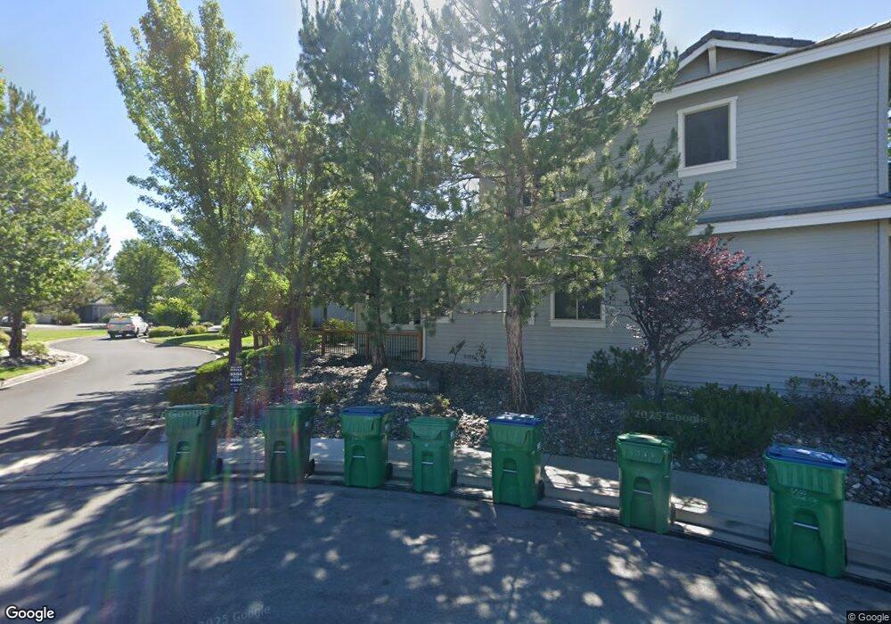
6556 Aston Cir Sparks, NV 89436
Wingfield Springs NeighborhoodEstimated Value: $484,639 - $516,000
3
Beds
3
Baths
1,921
Sq Ft
$259/Sq Ft
Est. Value
About This Home
This home is located at 6556 Aston Cir, Sparks, NV 89436 and is currently estimated at $497,410, approximately $258 per square foot. 6556 Aston Cir is a home located in Washoe County with nearby schools including Van Gorder Elementary School, Sky Ranch Middle School, and Spanish Springs High School.
Ownership History
Date
Name
Owned For
Owner Type
Purchase Details
Closed on
Jul 24, 2000
Sold by
Tavo Valera Associates Llc
Bought by
Lee Mark and Lee Le Ann
Current Estimated Value
Home Financials for this Owner
Home Financials are based on the most recent Mortgage that was taken out on this home.
Original Mortgage
$150,000
Outstanding Balance
$53,561
Interest Rate
8.2%
Estimated Equity
$443,849
Create a Home Valuation Report for This Property
The Home Valuation Report is an in-depth analysis detailing your home's value as well as a comparison with similar homes in the area
Home Values in the Area
Average Home Value in this Area
Purchase History
| Date | Buyer | Sale Price | Title Company |
|---|---|---|---|
| Lee Mark | $246,000 | First American Title |
Source: Public Records
Mortgage History
| Date | Status | Borrower | Loan Amount |
|---|---|---|---|
| Open | Lee Mark | $150,000 |
Source: Public Records
Tax History Compared to Growth
Tax History
| Year | Tax Paid | Tax Assessment Tax Assessment Total Assessment is a certain percentage of the fair market value that is determined by local assessors to be the total taxable value of land and additions on the property. | Land | Improvement |
|---|---|---|---|---|
| 2025 | $2,239 | $118,351 | $32,445 | $85,906 |
| 2024 | $2,239 | $116,898 | $27,790 | $89,108 |
| 2023 | $2,175 | $109,109 | $30,590 | $78,519 |
| 2022 | $2,100 | $95,820 | $27,825 | $67,995 |
| 2021 | $2,039 | $90,622 | $22,400 | $68,222 |
| 2020 | $1,977 | $90,364 | $21,595 | $68,769 |
| 2019 | $1,919 | $88,382 | $21,455 | $66,927 |
| 2018 | $1,859 | $79,794 | $14,315 | $65,479 |
| 2017 | $1,808 | $75,938 | $14,210 | $61,728 |
| 2016 | $1,762 | $72,238 | $12,985 | $59,253 |
| 2015 | $449 | $73,409 | $13,055 | $60,354 |
| 2014 | $1,708 | $57,485 | $9,380 | $48,105 |
| 2013 | -- | $45,508 | $7,665 | $37,843 |
Source: Public Records
Map
Nearby Homes
- 6638 Aston Cir Unit 18
- 6485 Sun Flag Ct
- 6831 Island Queen Ct Unit 16
- 3031 Honey Arbor Way
- 6978 Poco Bueno Cir
- 6517 Angels Orchard Dr
- 7050 Island Queen Ct Unit 16
- 2880 Thistle Belle Ct
- 3175 Sierra Dust Ct Unit 8B
- 6752 Eagle Wing Cir
- 3084 Diamond Dust Ct
- 6851 Woodburn Ct
- 2478 Darby Rose Ln Unit 2
- 2861 Friar Rock Ct
- 2691 Sutter Butte Ct
- 6302 Cokenee Ct
- 2003 Forest Grove Ln
- 2880 Friar Rock Ct
- 6726 Runnymede Dr
- 6853 Eagle Wing Cir
- 6554 Aston Cir
- 6562 Aston Cir
- 6536 Aston Cir
- 6564 Aston Cir
- 6544 Aston Cir
- 6570 Aston Cir
- 6534 Aston Cir Unit 18
- 6572 Aston Cir
- 6546 Aston Cir Unit 18
- 6526 Aston Cir
- 6578 Aston Cir
- 6594 Aston Cir Unit 6594
- 6594 Aston Cir Unit 1858
- 6594 Aston Cir
- 6596 Aston Cir Unit 18
- 6588 Aston Cir
- 6524 Aston Cir
- 6586 Aston Cir Unit 1802
- 6580 Aston Cir
- 6612 Aston Cir Unit 18