6556 Xmas Tree Dr Orefield, PA 18069
Lowhill Township NeighborhoodEstimated Value: $955,614 - $1,445,000
3
Beds
4
Baths
3,583
Sq Ft
$313/Sq Ft
Est. Value
About This Home
This home is located at 6556 Xmas Tree Dr, Orefield, PA 18069 and is currently estimated at $1,120,538, approximately $312 per square foot. 6556 Xmas Tree Dr is a home located in Lehigh County with nearby schools including Northwestern Lehigh High School.
Ownership History
Date
Name
Owned For
Owner Type
Purchase Details
Closed on
Jun 18, 2001
Sold by
Kelly David H and Kelly Laura D
Bought by
Rankin James L and Rankin Cora A
Current Estimated Value
Purchase Details
Closed on
Dec 16, 1998
Sold by
Tarola Gary A and Tarola Rosemary S
Bought by
Kelly David H and Kelly Laura D
Purchase Details
Closed on
Jul 22, 1982
Bought by
Tarola Gary A and Tarola Rosemary S
Create a Home Valuation Report for This Property
The Home Valuation Report is an in-depth analysis detailing your home's value as well as a comparison with similar homes in the area
Home Values in the Area
Average Home Value in this Area
Purchase History
| Date | Buyer | Sale Price | Title Company |
|---|---|---|---|
| Rankin James L | $515,000 | -- | |
| Kelly David H | $442,500 | -- | |
| Tarola Gary A | $45,000 | -- |
Source: Public Records
Tax History Compared to Growth
Tax History
| Year | Tax Paid | Tax Assessment Tax Assessment Total Assessment is a certain percentage of the fair market value that is determined by local assessors to be the total taxable value of land and additions on the property. | Land | Improvement |
|---|---|---|---|---|
| 2025 | $11,347 | $521,000 | $150,000 | $371,000 |
| 2024 | $10,896 | $521,000 | $150,000 | $371,000 |
| 2023 | $10,358 | $521,000 | $150,000 | $371,000 |
| 2022 | $11,785 | $521,000 | $371,000 | $150,000 |
| 2021 | $9,662 | $521,000 | $150,000 | $371,000 |
| 2020 | $9,392 | $521,000 | $150,000 | $371,000 |
| 2019 | $9,163 | $521,000 | $150,000 | $371,000 |
| 2018 | $9,039 | $521,000 | $150,000 | $371,000 |
| 2017 | $7,951 | $467,300 | $150,000 | $317,300 |
| 2016 | -- | $467,300 | $150,000 | $317,300 |
| 2015 | -- | $467,300 | $150,000 | $317,300 |
| 2014 | -- | $467,300 | $150,000 | $317,300 |
Source: Public Records
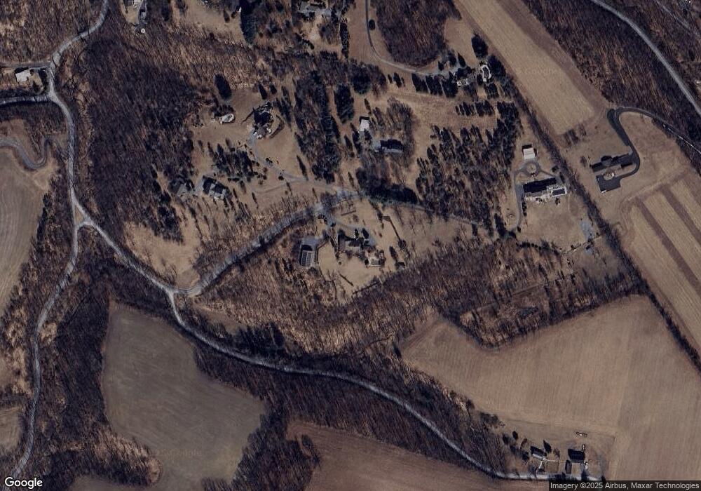
Map
Nearby Homes
- 6365 Constitution Rd
- 3741 Weidasville Rd
- 6428-6436 Horseshoe Rd
- 3609 Windy Rd
- 4260 W Wyndemere Cir
- 2784 Township Line Rd
- 4277 Somerset Rd
- 4303 W Wyndemere Cir
- 5934 Kernsville Rd
- 2423 Post Rd
- 3063 Jordan Rd
- 8097 Claussville Rd
- 2189 Beechwood St
- 3054 Jordan Rd
- 2288 Mulberry Rd
- 2695 Apple Valley Estates Dr
- 2811 Apple Valley Estates Dr
- 2010 Hickory Ln
- 8555 Mohr Ln
- 8519 Mohr Ln
- 6543 Xmas Tree Dr
- 3509 Church Rd
- 6551 Xmas Tree Dr
- 6547 Xmas Tree Dr
- 6540 Xmas Tree Dr
- 6418 Rutledge Dr
- 6436 Rutledge Dr
- 3434 Weidasville Rd
- 3375 Church Rd
- 6454 Rutledge Dr
- 6445 Rutledge Dr
- 6445 Rutledge Dr
- 6534 Farrier Rd
- 6427 Rutledge Dr
- 6452 Constitution Rd
- 3704 Weidasville Rd
- 6438 Constitution Rd
- 6687 Farrier Rd
- 6426 Constitution Rd
- 6295 Molasses Rd