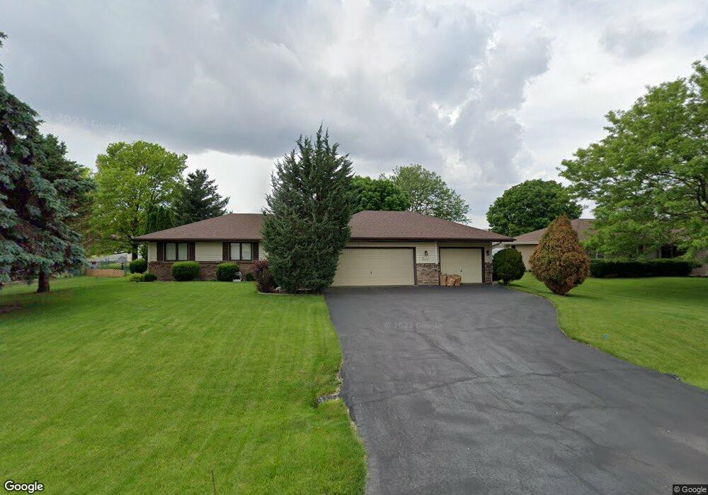
6558 Swansdown Rd Loves Park, IL 61111
Estimated Value: $239,000 - $275,000
--
Bed
--
Bath
1,312
Sq Ft
$193/Sq Ft
Est. Value
About This Home
This home is located at 6558 Swansdown Rd, Loves Park, IL 61111 and is currently estimated at $252,955, approximately $192 per square foot. 6558 Swansdown Rd is a home located in Winnebago County with nearby schools including Olson Park Elementary School, Harlem Middle School, and Harlem High School.
Ownership History
Date
Name
Owned For
Owner Type
Purchase Details
Closed on
Sep 22, 2022
Sold by
Abels Cheryl A
Bought by
Gregory Family Trust
Current Estimated Value
Home Financials for this Owner
Home Financials are based on the most recent Mortgage that was taken out on this home.
Original Mortgage
$168,000
Outstanding Balance
$160,821
Interest Rate
5.5%
Mortgage Type
New Conventional
Estimated Equity
$92,135
Purchase Details
Closed on
Aug 14, 1991
Bought by
Warren Kenneth M and Warren Genevieve L
Create a Home Valuation Report for This Property
The Home Valuation Report is an in-depth analysis detailing your home's value as well as a comparison with similar homes in the area
Home Values in the Area
Average Home Value in this Area
Purchase History
| Date | Buyer | Sale Price | Title Company |
|---|---|---|---|
| Gregory Family Trust | $208,000 | -- | |
| Warren Kenneth M | $85,500 | -- |
Source: Public Records
Mortgage History
| Date | Status | Borrower | Loan Amount |
|---|---|---|---|
| Open | Gregory Family Trust | $168,000 |
Source: Public Records
Tax History Compared to Growth
Tax History
| Year | Tax Paid | Tax Assessment Tax Assessment Total Assessment is a certain percentage of the fair market value that is determined by local assessors to be the total taxable value of land and additions on the property. | Land | Improvement |
|---|---|---|---|---|
| 2024 | $4,036 | $59,794 | $10,261 | $49,533 |
| 2023 | $3,773 | $53,103 | $9,113 | $43,990 |
| 2022 | $2,557 | $48,434 | $8,312 | $40,122 |
| 2021 | $2,621 | $45,047 | $7,731 | $37,316 |
| 2020 | $2,548 | $42,910 | $7,364 | $35,546 |
| 2019 | $2,744 | $41,102 | $7,054 | $34,048 |
| 2018 | $3,100 | $39,755 | $6,823 | $32,932 |
| 2017 | $3,093 | $38,665 | $6,636 | $32,029 |
| 2016 | $3,120 | $0 | $0 | $0 |
| 2015 | $3,158 | $37,233 | $6,390 | $30,843 |
| 2014 | $3,119 | $37,233 | $6,390 | $30,843 |
Source: Public Records
Map
Nearby Homes
- 6436 Reanna Way
- 6401 Currant Ct
- 6660 Louden Dr
- 8913 Alpha Dr
- 6007 Basin Dr
- 4625 Comet Dr
- 1308 van Stone Dr
- 8740 Tim Ln
- 2099 Charnwood Ct
- 8744 Jeffrey Way
- 815 Needle Point Dr
- 5132 Pebble Ln
- XX Smythe Ave
- 701 Russ Ave
- 8721 Scott Ln
- 8711 Scott Ln
- 8681 Scott Ln
- 5743 Jackie's Dr
- 8708 Scott Ln
- 8696 Scott Ln
- 6566 Swansdown Rd
- 6552 Swansdown Rd
- 6559 Red Barn Rd
- 6565 Red Barn Rd
- 5164 Hummingbird Trail
- 6584 Swansdown Rd
- 6563 Swansdown Rd
- 6603 Red Barn Rd
- 6555 Swansdown Rd
- 6539 Swansdown Rd
- 6592 Swansdown Rd
- 6587 Swansdown Rd
- 5179 Hummingbird Trail
- 6611 Red Barn Rd
- 5210 Minns Dr
- 6556 Red Barn Rd
- 5161 Hummingbird Trail
- 6562 Red Barn Rd
- 6550 Red Barn Rd
- 6595 Swansdown Rd