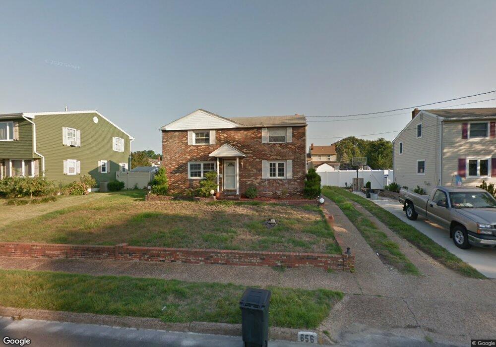
656 Andrea Rd Runnemede, NJ 08078
Estimated Value: $277,266 - $368,000
--
Bed
--
Bath
1,445
Sq Ft
$229/Sq Ft
Est. Value
About This Home
This home is located at 656 Andrea Rd, Runnemede, NJ 08078 and is currently estimated at $331,067, approximately $229 per square foot. 656 Andrea Rd is a home located in Camden County with nearby schools including Mary E. Volz Elementary School, Bingham Elementary School, and Triton High School.
Ownership History
Date
Name
Owned For
Owner Type
Purchase Details
Closed on
Sep 6, 2012
Sold by
Heenan James and Whitmire Robin M
Bought by
Heenan James and Heenan Robin M
Current Estimated Value
Home Financials for this Owner
Home Financials are based on the most recent Mortgage that was taken out on this home.
Original Mortgage
$141,034
Outstanding Balance
$99,500
Interest Rate
3.99%
Mortgage Type
FHA
Estimated Equity
$231,567
Purchase Details
Closed on
Dec 14, 2001
Sold by
Dimaria Lynn
Bought by
Heenan James and Whitmire Robin
Home Financials for this Owner
Home Financials are based on the most recent Mortgage that was taken out on this home.
Original Mortgage
$127,940
Interest Rate
7.08%
Mortgage Type
FHA
Create a Home Valuation Report for This Property
The Home Valuation Report is an in-depth analysis detailing your home's value as well as a comparison with similar homes in the area
Home Values in the Area
Average Home Value in this Area
Purchase History
| Date | Buyer | Sale Price | Title Company |
|---|---|---|---|
| Heenan James | -- | None Available | |
| Heenan James | $129,000 | -- |
Source: Public Records
Mortgage History
| Date | Status | Borrower | Loan Amount |
|---|---|---|---|
| Open | Heenan James | $141,034 | |
| Closed | Heenan James | $127,940 |
Source: Public Records
Tax History Compared to Growth
Tax History
| Year | Tax Paid | Tax Assessment Tax Assessment Total Assessment is a certain percentage of the fair market value that is determined by local assessors to be the total taxable value of land and additions on the property. | Land | Improvement |
|---|---|---|---|---|
| 2025 | $7,444 | $165,200 | $46,100 | $119,100 |
| 2024 | $7,218 | $165,200 | $46,100 | $119,100 |
| 2023 | $7,218 | $165,200 | $46,100 | $119,100 |
| 2022 | $6,988 | $165,200 | $46,100 | $119,100 |
| 2021 | $6,823 | $165,200 | $46,100 | $119,100 |
| 2020 | $6,755 | $165,200 | $46,100 | $119,100 |
| 2019 | $6,631 | $165,200 | $46,100 | $119,100 |
| 2018 | $6,504 | $165,200 | $46,100 | $119,100 |
| 2017 | $6,337 | $165,200 | $46,100 | $119,100 |
| 2016 | $6,258 | $165,200 | $46,100 | $119,100 |
| 2015 | $6,276 | $165,200 | $46,100 | $119,100 |
| 2014 | $6,195 | $165,200 | $46,100 | $119,100 |
Source: Public Records
Map
Nearby Homes
- 688 Dettmar Terrace
- 613 Williams Terrace
- 600 Williams Ave
- 524 Hirsch Ave
- 850 Orchard Ave
- 206 W 5th Ave
- 115 W 1st Ave
- 211 Broadway
- 525 W Evesham Rd
- 924 W Evesham Rd
- 301 Castlewood Way
- 37 W 5th Ave
- 702 N Brooke Dr
- Essex Plan at Heritage
- Cambridge Plan at Heritage
- Windsor Plan at Heritage
- 21 S Oakland Ave
- 420 Zane Ave
- 37 Whaler Ave
- 41 Whaler Ave
- 652 Andrea Rd
- 660 Andrea Rd
- 665 Dettmar Terrace
- 669 Dettmar Terrace
- 648 Andrea Rd
- 664 Andrea Rd
- 661 Dettmar Terrace
- 673 Dettmar Terrace
- 649 Andrea Rd
- 645 Andrea Rd
- 641 Andrea Rd
- 653 Andrea Rd
- 657 Dettmar Terrace
- 644 Andrea Rd
- 668 Andrea Rd
- 677 Dettmar Terrace
- 637 Andrea Rd
- 657 Andrea Rd
- 636 Burt Rd
- 640 Andrea Rd