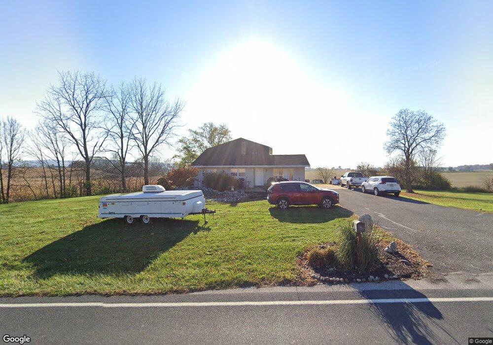
656 Burnt House Rd Carlisle, PA 17015
Estimated Value: $349,000 - $397,000
5
Beds
2
Baths
2,724
Sq Ft
$137/Sq Ft
Est. Value
About This Home
This home is located at 656 Burnt House Rd, Carlisle, PA 17015 and is currently estimated at $373,194, approximately $137 per square foot. 656 Burnt House Rd is a home located in Cumberland County with nearby schools including North Dickinson Elementary School, Lamberton Middle School, and Carlisle Area High School.
Ownership History
Date
Name
Owned For
Owner Type
Purchase Details
Closed on
Feb 23, 2001
Sold by
Witmer Constance A
Bought by
Wilson Albert R
Current Estimated Value
Home Financials for this Owner
Home Financials are based on the most recent Mortgage that was taken out on this home.
Original Mortgage
$85,500
Outstanding Balance
$30,830
Interest Rate
6.89%
Estimated Equity
$342,364
Create a Home Valuation Report for This Property
The Home Valuation Report is an in-depth analysis detailing your home's value as well as a comparison with similar homes in the area
Home Values in the Area
Average Home Value in this Area
Purchase History
| Date | Buyer | Sale Price | Title Company |
|---|---|---|---|
| Wilson Albert R | $95,000 | -- |
Source: Public Records
Mortgage History
| Date | Status | Borrower | Loan Amount |
|---|---|---|---|
| Open | Wilson Albert R | $85,500 |
Source: Public Records
Tax History Compared to Growth
Tax History
| Year | Tax Paid | Tax Assessment Tax Assessment Total Assessment is a certain percentage of the fair market value that is determined by local assessors to be the total taxable value of land and additions on the property. | Land | Improvement |
|---|---|---|---|---|
| 2025 | $4,701 | $226,700 | $62,500 | $164,200 |
| 2024 | $4,548 | $226,700 | $62,500 | $164,200 |
| 2023 | $4,383 | $226,700 | $62,500 | $164,200 |
| 2022 | $4,142 | $226,700 | $62,500 | $164,200 |
| 2021 | $4,072 | $226,700 | $62,500 | $164,200 |
| 2020 | $3,971 | $226,700 | $62,500 | $164,200 |
| 2019 | $3,873 | $226,700 | $62,500 | $164,200 |
| 2018 | $3,774 | $226,700 | $62,500 | $164,200 |
| 2017 | $3,684 | $226,700 | $62,500 | $164,200 |
| 2016 | -- | $226,700 | $62,500 | $164,200 |
| 2015 | -- | $226,700 | $62,500 | $164,200 |
| 2014 | -- | $226,700 | $62,500 | $164,200 |
Source: Public Records
Map
Nearby Homes
- 92 Long Bend Dr
- 16 Peyton Dr
- 44 Sandy Bottom Rd
- 8 Mccoy Ln
- 18 Annendale Dr
- 99 Garfield Dr
- 0 W Linden Dr
- 109 Sycamore Dr
- 114 LOT #16 Richland Rd
- 210 Sunset Dr
- 1554 Holly Pike
- 711 W Pine St
- 1011 Stonehill Ln
- 7 Beverly Ct
- 101 Westgate Dr
- 200 Westgate Dr
- 1005 Stonehill Ln
- 1016 Stonehill Ln
- 1002 Stonehill Ln
- 1001 Stonehill Ln
- 650 Burnt House Rd
- 645 Burnt House Rd
- 631 Burnt House Rd
- 627 Burnt House Rd
- 624 Burnt House Rd
- 697 Burnt House Rd
- 3 Thompson Ln
- 598 Burnt House Rd
- 7 Makenzee Ct
- 600 Burnt House Rd
- 5 Makenzee Ct
- 4 Farm Ln
- 699 Burnt House Rd
- 4 Makenzee Ct
- 6 Farm Ln
- 3 Makenzee Ct
- 8 Farm Ln
- 3 Farm Ln
- 14 Farm Ln
- 32 Makenzee Dr