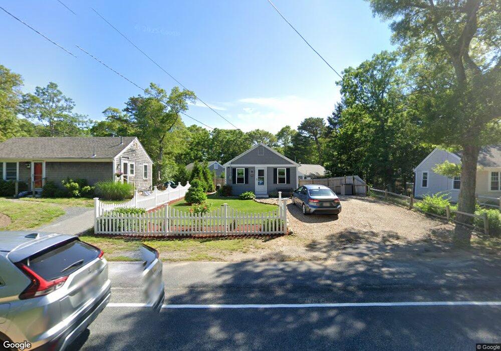
656 Main St West Dennis, MA 02670
West Dennis NeighborhoodEstimated Value: $429,724
2
Beds
1
Bath
560
Sq Ft
$767/Sq Ft
Est. Value
About This Home
This home is located at 656 Main St, West Dennis, MA 02670 and is currently estimated at $429,724, approximately $767 per square foot. 656 Main St is a home with nearby schools including Dennis-Yarmouth Regional High School and St. Pius X. School.
Create a Home Valuation Report for This Property
The Home Valuation Report is an in-depth analysis detailing your home's value as well as a comparison with similar homes in the area
Home Values in the Area
Average Home Value in this Area
Tax History Compared to Growth
Tax History
| Year | Tax Paid | Tax Assessment Tax Assessment Total Assessment is a certain percentage of the fair market value that is determined by local assessors to be the total taxable value of land and additions on the property. | Land | Improvement |
|---|---|---|---|---|
| 2022 | $1,194 | $213,300 | $105,900 | $107,400 |
Source: Public Records
Map
Nearby Homes
- 467 Main St
- 15 Woodside Park Rd
- 61 Trotters Ln
- 3 Pinefield Ln
- 401 Main St Unit 201
- 401 Main St Unit 101
- 26 Center St
- 12 Spoonbill Rd
- 23 Doric Ave
- 95 Center St
- 178 School St
- 209 Main St Unit 3
- 209 Main St Unit 6
- 209 Main St Unit 1
- 209 Main St Unit 2
- 209 Main St Unit 4
- 209 Main St Unit 5
- 80 Michaels Ave
- 14 Schoolhouse Ln
- 71 Main St
- 592 Main St
- 588 Main St
- 75 Old Main St
- 9 Old Main St
- 607 Main St
- 607 Route 28
- 607 Main St
- 22 Old Main St
- 21 Old Main St Unit 5
- 21 Old Main St Unit 4
- 21 Old Main St Unit 3
- 21 Old Main St Unit 2
- 21 Old Main St Unit 1
- 21 Old Main St
- 21 Old Main St Unit RED
- 13 Old Main St
- 645 Main St
- 560 Main St
- 568 Main St Unit E
- 568 Main St