656 Maxfield Rd Brighton, MI 48114
Estimated Value: $958,000 - $1,095,442
4
Beds
5
Baths
4,601
Sq Ft
$219/Sq Ft
Est. Value
About This Home
This home is located at 656 Maxfield Rd, Brighton, MI 48114 and is currently estimated at $1,007,147, approximately $218 per square foot. 656 Maxfield Rd is a home located in Livingston County with nearby schools including Hartland High School and Maple Tree Montessori Academy.
Ownership History
Date
Name
Owned For
Owner Type
Purchase Details
Closed on
Dec 8, 2012
Sold by
Stouse Gloria Jean
Bought by
Stouse Lee Allen and Gloria Jean Stouse 2012 Irrevocable Trus
Current Estimated Value
Purchase Details
Closed on
Jun 19, 2012
Sold by
Stouse Lee Allen and Stouse Gloria Jean
Bought by
Stouse Gloria Jean
Purchase Details
Closed on
Sep 16, 2009
Sold by
Christine E Schifko Trust
Bought by
Stouse Lee Allen and Stouse Gloria Jean
Create a Home Valuation Report for This Property
The Home Valuation Report is an in-depth analysis detailing your home's value as well as a comparison with similar homes in the area
Home Values in the Area
Average Home Value in this Area
Purchase History
| Date | Buyer | Sale Price | Title Company |
|---|---|---|---|
| Stouse Lee Allen | -- | -- | |
| Stouse Gloria Jean | -- | -- | |
| Stouse Lee Allen | $700,000 | -- |
Source: Public Records
Tax History
| Year | Tax Paid | Tax Assessment Tax Assessment Total Assessment is a certain percentage of the fair market value that is determined by local assessors to be the total taxable value of land and additions on the property. | Land | Improvement |
|---|---|---|---|---|
| 2025 | $4,918 | $542,700 | $0 | $0 |
| 2024 | $4,781 | $509,700 | $0 | $0 |
| 2023 | $4,567 | $462,000 | $0 | $0 |
| 2022 | $9,205 | $383,900 | $0 | $0 |
| 2021 | $8,813 | $426,200 | $0 | $0 |
| 2020 | $8,775 | $384,600 | $0 | $0 |
| 2019 | $8,244 | $383,900 | $0 | $0 |
| 2018 | $8,070 | $361,700 | $0 | $0 |
| 2017 | $7,931 | $361,700 | $0 | $0 |
| 2016 | $7,883 | $351,700 | $0 | $0 |
| 2014 | $6,393 | $286,200 | $0 | $0 |
| 2012 | $6,393 | $258,300 | $0 | $0 |
Source: Public Records
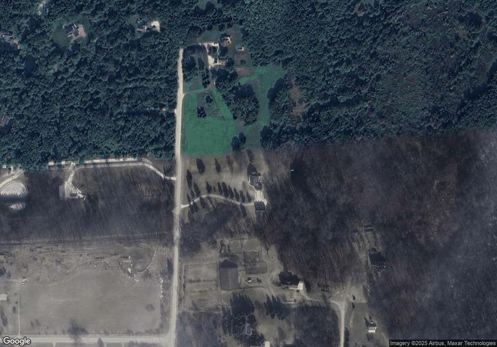
Map
Nearby Homes
- 1020 Woods Edge Dr
- 1291 Courtney Ct
- 1491 Division Dr
- 11523 Timberlane Trail
- 12386 Will Mill Dr
- V/L Highland Rd
- V/L Commerce Rd
- 2.03 Acres Highland Rd
- 2255 Clark Rd
- 12071 Highland Rd
- 1564 Chelsea Cir
- 000 Highland Rd
- 1627 Newgate Ln Unit 101
- 1620 Dartmoor Dr Unit 95
- 1645 Dartmoor Dr Unit 61
- 00 VL2 Waterside
- 00 VL Waterside
- 1783 Andover Blvd Unit 27
- 1111 S Old Us Highway 23
- 10139 Ridge Run St Unit 9
- 11577 Lancers Trail
- 700 Maxfield Rd
- 11588 Lancers Trail
- 11449 Lancers Trail
- 11093 Alberta Dr
- V/L Alberta Dr
- 0 Alberta Dr
- 11536 Lancers Trail
- 633 Maxfield Rd
- 633 Maxfield Rd
- 11077 Alberta Dr
- 601 Maxfield Rd
- 11055 Alberta Dr
- 11494 Lancers Trail
- 0 Blaine Rd Unit 218055068
- 0 Blaine Rd Unit 217110610
- 0 Blaine Rd Unit R216001596
- 0 Blaine Rd Unit R216001602
- 0 Blaine Rd Unit R219064802
- 0 Blaine Rd Unit 3258172
Your Personal Tour Guide
Ask me questions while you tour the home.