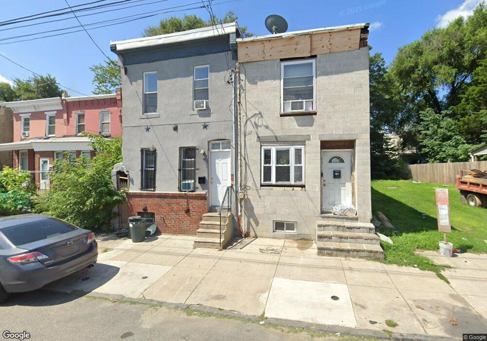
656 N 42nd St Philadelphia, PA 19104
Haverford North NeighborhoodEstimated Value: $71,000 - $274,000
3
Beds
1
Bath
1,128
Sq Ft
$145/Sq Ft
Est. Value
About This Home
This home is located at 656 N 42nd St, Philadelphia, PA 19104 and is currently estimated at $163,510, approximately $144 per square foot. 656 N 42nd St is a home located in Philadelphia County with nearby schools including Alain Locke School, West Philadelphia High School, and Belmont Charter Elementary School.
Ownership History
Date
Name
Owned For
Owner Type
Purchase Details
Closed on
Nov 28, 2017
Sold by
Williams Frederick
Bought by
Ansari Mahmud
Current Estimated Value
Purchase Details
Closed on
Aug 19, 2014
Sold by
Logan Robert and Logan Rogert G
Bought by
Williams Frederick
Purchase Details
Closed on
Sep 15, 1998
Sold by
Logan Robert G
Bought by
Logan Robert G and Logan Pamela R
Purchase Details
Closed on
Sep 29, 1997
Sold by
Logan Robert G and Logan Rita M
Bought by
Logan Robert G
Create a Home Valuation Report for This Property
The Home Valuation Report is an in-depth analysis detailing your home's value as well as a comparison with similar homes in the area
Home Values in the Area
Average Home Value in this Area
Purchase History
| Date | Buyer | Sale Price | Title Company |
|---|---|---|---|
| Ansari Mahmud | $54,000 | None Available | |
| Williams Frederick | $20,000 | None Available | |
| Logan Robert G | -- | -- | |
| Logan Robert G | -- | -- |
Source: Public Records
Tax History Compared to Growth
Tax History
| Year | Tax Paid | Tax Assessment Tax Assessment Total Assessment is a certain percentage of the fair market value that is determined by local assessors to be the total taxable value of land and additions on the property. | Land | Improvement |
|---|---|---|---|---|
| 2026 | $622 | $76,300 | $15,260 | $61,040 |
| 2025 | $622 | $76,300 | $15,260 | $61,040 |
| 2024 | $622 | $76,300 | $15,260 | $61,040 |
| 2023 | $622 | $44,400 | $8,880 | $35,520 |
| 2022 | $622 | $44,400 | $8,880 | $35,520 |
| 2021 | $262 | $0 | $0 | $0 |
| 2020 | $262 | $0 | $0 | $0 |
| 2019 | $252 | $0 | $0 | $0 |
| 2018 | $273 | $0 | $0 | $0 |
| 2017 | $273 | $0 | $0 | $0 |
| 2016 | $273 | $0 | $0 | $0 |
| 2015 | $4,446 | $0 | $0 | $0 |
| 2014 | -- | $45,500 | $5,656 | $39,844 |
| 2012 | -- | $3,936 | $906 | $3,030 |
Source: Public Records
Map
Nearby Homes
- 629 N Hutton St
- 617 N Hutton St
- 4220 Wallace St
- 638 Hutton St
- 627 Hutton St
- 619 Hutton St
- 636 Hutton St
- 4130 42 Aspen St
- 4207 Aspen St
- 4234 Aspen St
- 4231 Haverford Ave
- 4310 Wallace St
- 661 Brooklyn St
- 644 Brooklyn St
- 770 Brooklyn St
- 318 20 Budd St
- 4303 Haverford Ave
- 1203 N 41st St
- 4207 Lancaster Ave
- 4052 Lancaster Ave
- 658 N 42nd St
- 660 N 42nd St
- 652 N 42nd St
- 662 N 42nd St
- 650 N 42nd St
- 664 N 42nd St
- 666 N 42nd St
- 648 N 42nd St
- 668 N 42nd St
- 655 N Brooklyn St
- 659 N Brooklyn St
- 653 N Brooklyn St
- 657 N Brooklyn St
- 646 N 42nd St
- 670 N 42nd St Unit 72
- 663 N Brooklyn St
- 665 N Brooklyn St
- 644 N 42nd St
- 667 N Brooklyn St
- 674 N 42nd St