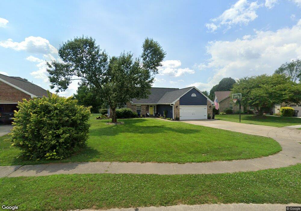
656 Saraina Ln Whiteland, IN 46184
Estimated Value: $267,000 - $296,167
3
Beds
2
Baths
1,512
Sq Ft
$183/Sq Ft
Est. Value
About This Home
This home is located at 656 Saraina Ln, Whiteland, IN 46184 and is currently estimated at $276,542, approximately $182 per square foot. 656 Saraina Ln is a home located in Johnson County with nearby schools including Break-O-Day Elementary School, Clark-Pleasant Middle School, and Whiteland Community High School.
Ownership History
Date
Name
Owned For
Owner Type
Purchase Details
Closed on
Jul 22, 2011
Sold by
Mcdowell Garold L and Mcdowell Rhonda L
Bought by
Day Jeremy W
Current Estimated Value
Home Financials for this Owner
Home Financials are based on the most recent Mortgage that was taken out on this home.
Original Mortgage
$100,388
Outstanding Balance
$70,226
Interest Rate
4.87%
Mortgage Type
FHA
Estimated Equity
$206,316
Create a Home Valuation Report for This Property
The Home Valuation Report is an in-depth analysis detailing your home's value as well as a comparison with similar homes in the area
Home Values in the Area
Average Home Value in this Area
Purchase History
| Date | Buyer | Sale Price | Title Company |
|---|---|---|---|
| Day Jeremy W | -- | Investors Titlecorp |
Source: Public Records
Mortgage History
| Date | Status | Borrower | Loan Amount |
|---|---|---|---|
| Open | Day Jeremy W | $100,388 |
Source: Public Records
Tax History Compared to Growth
Tax History
| Year | Tax Paid | Tax Assessment Tax Assessment Total Assessment is a certain percentage of the fair market value that is determined by local assessors to be the total taxable value of land and additions on the property. | Land | Improvement |
|---|---|---|---|---|
| 2025 | $2,285 | $250,800 | $51,000 | $199,800 |
| 2024 | $2,285 | $219,500 | $51,000 | $168,500 |
| 2023 | $2,215 | $212,400 | $51,000 | $161,400 |
| 2022 | $1,970 | $190,400 | $32,000 | $158,400 |
| 2021 | $1,567 | $151,500 | $32,000 | $119,500 |
| 2020 | $1,469 | $141,500 | $26,400 | $115,100 |
| 2019 | $1,421 | $136,900 | $26,400 | $110,500 |
| 2018 | $1,393 | $142,900 | $33,300 | $109,600 |
| 2017 | $1,298 | $127,900 | $33,300 | $94,600 |
| 2016 | $1,313 | $130,300 | $33,300 | $97,000 |
| 2014 | $1,330 | $130,900 | $33,300 | $97,600 |
| 2013 | $1,330 | $132,000 | $33,300 | $98,700 |
Source: Public Records
Map
Nearby Homes
- 647 Bluestem Cir
- 12 Rypma Row
- Liberty Plan at Crossroads at Southport
- 7331 Deerberg Dr
- Jefferson Plan at Crossroads at Southport
- 7338 Deerberg Dr
- Rushmore Plan at Crossroads at Southport
- Lincoln Plan at Crossroads at Southport
- Washington Plan at Crossroads at Southport
- 76 Fernleaf Dr
- 731 W 600 N
- 346 Switchgrass Ln
- 821 Princeton Dr
- 143 Tracy Ridge Blvd
- 106 Tracy Ridge Blvd
- 230 Parkview Dr
- 239 Shelton Place
- 1119 Chateaugay Ct
- 250 Southlane Dr
- 190 Tracy Ridge Blvd