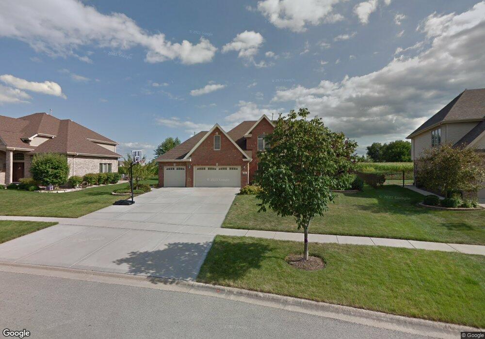
656 Stacey Dr New Lenox, IL 60451
Estimated Value: $524,703 - $625,000
Studio
--
Bath
--
Sq Ft
0.3
Acres
About This Home
This home is located at 656 Stacey Dr, New Lenox, IL 60451 and is currently estimated at $581,176. 656 Stacey Dr is a home located in Will County with nearby schools including Nelson Prairie School, Lincoln Way West, and St. Jude School.
Ownership History
Date
Name
Owned For
Owner Type
Purchase Details
Closed on
Jan 31, 2022
Sold by
Brown Iii Melvin H and Brown Catherine Mary
Bought by
Brown Family Revocable Living Trust
Current Estimated Value
Purchase Details
Closed on
Mar 31, 2008
Sold by
Founders Bank
Bought by
Brown Melvin H and Brown Mary Catherine
Home Financials for this Owner
Home Financials are based on the most recent Mortgage that was taken out on this home.
Original Mortgage
$382,700
Interest Rate
6.09%
Mortgage Type
Purchase Money Mortgage
Create a Home Valuation Report for This Property
The Home Valuation Report is an in-depth analysis detailing your home's value as well as a comparison with similar homes in the area
Home Values in the Area
Average Home Value in this Area
Purchase History
| Date | Buyer | Sale Price | Title Company |
|---|---|---|---|
| Brown Family Revocable Living Trust | -- | Frankfort Law Group | |
| Brown Melvin H | $478,500 | Chicago Title Insurance Co |
Source: Public Records
Mortgage History
| Date | Status | Borrower | Loan Amount |
|---|---|---|---|
| Previous Owner | Brown Melvin H | $382,700 |
Source: Public Records
Tax History Compared to Growth
Tax History
| Year | Tax Paid | Tax Assessment Tax Assessment Total Assessment is a certain percentage of the fair market value that is determined by local assessors to be the total taxable value of land and additions on the property. | Land | Improvement |
|---|---|---|---|---|
| 2024 | $12,387 | $160,638 | $37,368 | $123,270 |
| 2023 | $12,387 | $146,434 | $34,064 | $112,370 |
| 2022 | $11,153 | $134,900 | $31,381 | $103,519 |
| 2021 | $10,593 | $126,869 | $29,513 | $97,356 |
| 2020 | $10,295 | $122,342 | $28,460 | $93,882 |
| 2019 | $9,856 | $118,549 | $27,578 | $90,971 |
| 2018 | $9,631 | $114,463 | $26,628 | $87,835 |
| 2017 | $9,154 | $111,172 | $25,862 | $85,310 |
| 2016 | $8,888 | $115,183 | $25,170 | $90,013 |
| 2015 | $9,151 | $111,558 | $24,378 | $87,180 |
| 2014 | $9,151 | $110,181 | $24,077 | $86,104 |
| 2013 | $9,151 | $111,667 | $24,402 | $87,265 |
Source: Public Records
Map
Nearby Homes
- 953 Foxwood Ct Unit 953
- 2445 Peregrine Dr
- 1019 James Pass
- 731 Bobwhite Ln
- 2341 Stone Creek Dr
- 2331 Stone Creek Dr
- 2321 Stone Creek Dr
- 14620 W Laraway Rd
- 2170 Arthurs Pass
- 2301 Stone Creek Dr
- 2231 Stone Creek Dr
- Galveston Plan at Calistoga
- Westbury Plan at Calistoga
- Brooklyn Plan at Calistoga
- Ontario Plan at Calistoga
- Raleigh Plan at Calistoga
- Siena II Plan at Calistoga
- 819 Shagbark Rd
- 1906 Heatherway Ln Unit 5
- 575 Caledonia Dr
- 668 Stacey Dr
- 644 Stacey Dr
- 680 Stacey Dr
- 632 Stacey Dr
- 653 Stacey Dr
- 665 Stacey Dr
- 677 Stacey Dr
- 620 Stacey Dr
- 641 Stacey Dr
- 2902 Horizon Trail
- 2914 Horizon Trail
- 2926 Horizon Trail
- 2886 Horizon Trail
- 2938 Horizon Trail
- 608 Stacey Dr
- 2873 Meadow Path
- 14828 W Delaney Rd
- 14850 W Delaney Rd
- 2950 Horizon Trail
- 2886 Meadow Path