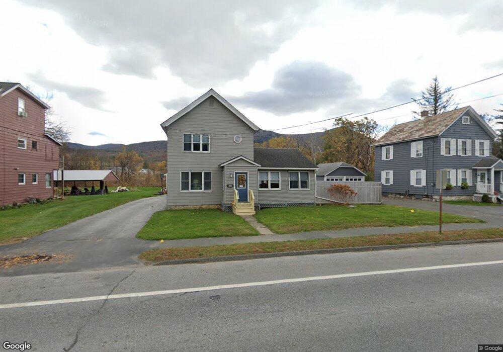
656 State Rd North Adams, MA 01247
Estimated Value: $210,000 - $282,000
8
Beds
1
Bath
1,344
Sq Ft
$179/Sq Ft
Est. Value
About This Home
This home is located at 656 State Rd, North Adams, MA 01247 and is currently estimated at $240,734, approximately $179 per square foot. 656 State Rd is a home located in Berkshire County with nearby schools including Greylock Elementary School, Drury High School, and Pine Cobble School.
Ownership History
Date
Name
Owned For
Owner Type
Purchase Details
Closed on
Sep 24, 2024
Sold by
Daigherty Aja L
Bought by
Daugherty Shannon
Current Estimated Value
Purchase Details
Closed on
Mar 9, 2007
Sold by
Bleau Diane M
Bought by
Daugherty Shannon M and Daugherty Aja L
Create a Home Valuation Report for This Property
The Home Valuation Report is an in-depth analysis detailing your home's value as well as a comparison with similar homes in the area
Home Values in the Area
Average Home Value in this Area
Purchase History
| Date | Buyer | Sale Price | Title Company |
|---|---|---|---|
| Daugherty Shannon | -- | None Available | |
| Daugherty Shannon | -- | None Available | |
| Daugherty Shannon M | -- | -- | |
| Daugherty Shannon M | -- | -- |
Source: Public Records
Mortgage History
| Date | Status | Borrower | Loan Amount |
|---|---|---|---|
| Previous Owner | Daugherty Shannon M | $45,000 |
Source: Public Records
Tax History Compared to Growth
Tax History
| Year | Tax Paid | Tax Assessment Tax Assessment Total Assessment is a certain percentage of the fair market value that is determined by local assessors to be the total taxable value of land and additions on the property. | Land | Improvement |
|---|---|---|---|---|
| 2025 | $3,312 | $198,200 | $33,500 | $164,700 |
| 2024 | $3,238 | $188,900 | $30,700 | $158,200 |
| 2023 | $3,161 | $178,900 | $30,700 | $148,200 |
| 2022 | $2,857 | $154,200 | $30,700 | $123,500 |
| 2021 | $2,658 | $142,800 | $28,400 | $114,400 |
| 2020 | $2,568 | $137,900 | $28,200 | $109,700 |
| 2019 | $2,469 | $129,200 | $28,200 | $101,000 |
| 2018 | $2,375 | $129,200 | $29,700 | $99,500 |
| 2017 | $2,262 | $128,000 | $29,400 | $98,600 |
| 2016 | $2,188 | $125,800 | $29,400 | $96,400 |
| 2015 | $2,090 | $125,200 | $30,400 | $94,800 |
Source: Public Records
Map
Nearby Homes
- 17 Phelps Ave
- 1 State Rd
- 520 State Rd Unit 207
- 520 State Rd Unit 402
- 520 State Rd Unit 208
- 11 Foucher Ave
- 505 Barbour St
- 227 Protection Ave
- 25 Taft St
- 20 Kateley Ln
- 25 College Ave
- 42 Harding Ave
- 447 Notch Rd
- 100 N Hoosac Rd
- 55 First St
- 34 Goodrich St
- 20 Barlow Ave
- 26 Charles St
- 46 Cobble View Rd
- 14 Orchard Ln
- 648 State Rd
- 664 State Rd
- 640 State Rd
- 670 State Rd
- 651 Mohawk Trail Unit 3B
- 651 Mohawk Trail Unit 2D
- 651 Mohawk Trail Unit 2C
- 634 State Rd
- 680 State Rd
- 628 State Rd
- 625 State Rd
- 690 State Rd
- 27 Phelps Ave
- 612 State Rd
- 9 Phelps Ave Unit 13
- 35 Phelps Ave Unit 37
- 700 State Rd
- 22 Chantilly Ave
- 49 Phelps Ave
- 28 Chantilly Ave