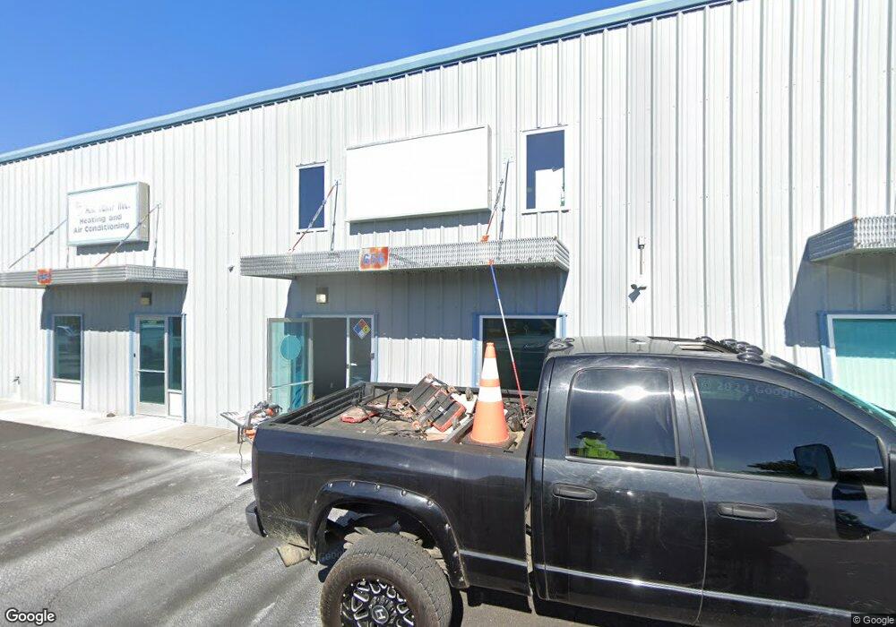
656 W Dutton Rd Eagle Point, OR 97524
Estimated Value: $237,768
Studio
--
Bath
1,471
Sq Ft
$162/Sq Ft
Est. Value
About This Home
This home is located at 656 W Dutton Rd, Eagle Point, OR 97524 and is currently estimated at $237,768, approximately $161 per square foot. 656 W Dutton Rd is a home located in Jackson County with nearby schools including Table Rock Elementary School, White Mountain Middle School, and Eagle Point Middle School.
Ownership History
Date
Name
Owned For
Owner Type
Purchase Details
Closed on
Jun 4, 2018
Sold by
Wyatt Industries Llc
Bought by
Eagleton Management Llc
Current Estimated Value
Purchase Details
Closed on
Oct 18, 2016
Sold by
Mbk Dutton Llc
Bought by
Wyatt Industries Llc
Purchase Details
Closed on
Nov 1, 2009
Sold by
Mbk Dutton Llc
Bought by
Long Sara M
Create a Home Valuation Report for This Property
The Home Valuation Report is an in-depth analysis detailing your home's value as well as a comparison with similar homes in the area
Purchase History
| Date | Buyer | Sale Price | Title Company |
|---|---|---|---|
| Eagleton Management Llc | -- | None Available | |
| Wyatt Industries Llc | $150,000 | First American | |
| Long Sara M | $159,900 | Fa |
Source: Public Records
Tax History
| Year | Tax Paid | Tax Assessment Tax Assessment Total Assessment is a certain percentage of the fair market value that is determined by local assessors to be the total taxable value of land and additions on the property. | Land | Improvement |
|---|---|---|---|---|
| 2026 | $3,095 | $194,950 | -- | -- |
| 2025 | $2,868 | $189,280 | -- | $189,280 |
| 2024 | $2,868 | $183,770 | -- | $183,770 |
| 2023 | $2,532 | $178,420 | $0 | $178,420 |
| 2022 | $2,544 | $178,420 | $0 | $178,420 |
| 2021 | $2,391 | $173,230 | $0 | $173,230 |
| 2020 | $2,839 | $168,190 | $0 | $168,190 |
| 2019 | $2,595 | $158,550 | $0 | $158,550 |
| 2018 | $2,690 | $149,460 | $0 | $149,460 |
| 2017 | $2,490 | $149,460 | $0 | $149,460 |
| 2016 | $2,213 | $143,650 | $0 | $143,650 |
| 2015 | $2,228 | $146,580 | $0 | $146,580 |
| 2014 | $2,234 | $146,580 | $0 | $146,580 |
Source: Public Records
Map
Nearby Homes
- 3026 Avenue G
- 8212 Kestrel Way
- 8074 Crater Lake Hwy
- 2622 Falcon St Unit 40
- 2622 Falcon St Unit SPC 75
- 2622 Falcon St Unit 29
- 2622 Falcon St Unit SPC 68
- 2622 Falcon St Unit 78
- 2700 Falcon St Unit SPC 33
- 2700 Falcon St Unit SPC 38
- 3600 Avenue G Unit SPC 26
- 7915 Jacqueline Way
- 7905 Jacqueline Way
- 8268 29th St
- 7758 Hale Way
- 7875 Jacqueline Way
- 7871 Jacqueline Way
- 7927 Wilson Way
- 3973 Cole Dr
- 7834 Jacqueline Way
- 654 W Dutton Rd Unit 10
- 654 W Dutton Rd
- 658 W Dutton Rd
- 652 W Dutton Rd
- 650 W Dutton Rd Unit 8
- 648 W Dutton Rd Unit 7
- 648 W Dutton Rd
- 646 W Dutton Rd
- 644 W Dutton Rd
- 590 W Dutton Rd Unit 3
- 642 W Dutton Rd
- 600 W Dutton Rd Unit 3-4
- 640 W Dutton Rd
- 722 W Dutton Rd
- 638 W Dutton Rd
- 0 W Dutton Rd Unit 102989153
- 580 W Dutton Rd Unit 6
- 580 W Dutton Rd Unit 1
- 712 W Dutton
- 712 W Dutton Rd Unit 1-10
Your Personal Tour Guide
Ask me questions while you tour the home.