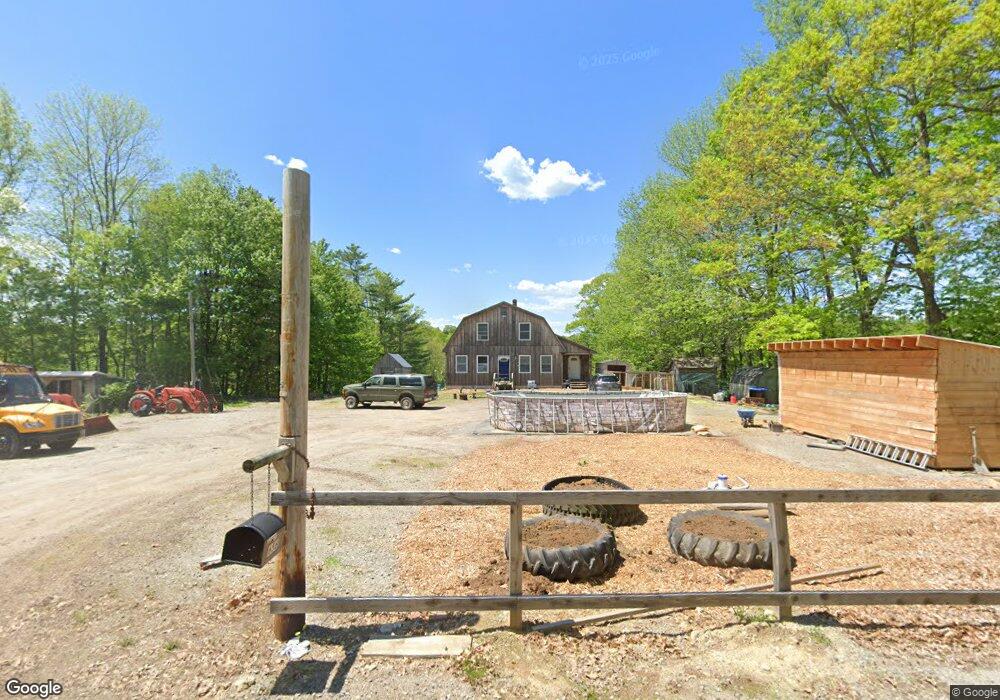
656 West Rd Bowdoin, ME 04287
Estimated Value: $427,000 - $466,000
--
Bed
--
Bath
1,619
Sq Ft
$277/Sq Ft
Est. Value
About This Home
This home is located at 656 West Rd, Bowdoin, ME 04287 and is currently estimated at $448,552, approximately $277 per square foot. 656 West Rd is a home with nearby schools including Mt Ararat High School.
Ownership History
Date
Name
Owned For
Owner Type
Purchase Details
Closed on
Dec 22, 2021
Sold by
Allen Caitlyn E
Bought by
Allen Raymond C
Current Estimated Value
Home Financials for this Owner
Home Financials are based on the most recent Mortgage that was taken out on this home.
Original Mortgage
$180,000
Outstanding Balance
$164,569
Interest Rate
2.98%
Mortgage Type
Purchase Money Mortgage
Estimated Equity
$283,983
Purchase Details
Closed on
Aug 26, 2014
Sold by
Allen Raymond C and Allen Darlene M
Bought by
Allen Raymond C and Allen Caitlyn E
Home Financials for this Owner
Home Financials are based on the most recent Mortgage that was taken out on this home.
Original Mortgage
$37,600
Interest Rate
4.14%
Mortgage Type
Unknown
Create a Home Valuation Report for This Property
The Home Valuation Report is an in-depth analysis detailing your home's value as well as a comparison with similar homes in the area
Home Values in the Area
Average Home Value in this Area
Purchase History
| Date | Buyer | Sale Price | Title Company |
|---|---|---|---|
| Allen Raymond C | -- | None Available | |
| Allen Raymond C | -- | None Available | |
| Allen Raymond C | -- | -- | |
| Allen Raymond C | -- | -- |
Source: Public Records
Mortgage History
| Date | Status | Borrower | Loan Amount |
|---|---|---|---|
| Open | Allen Raymond C | $180,000 | |
| Closed | Allen Raymond C | $180,000 | |
| Previous Owner | Allen Raymond C | $37,600 |
Source: Public Records
Tax History Compared to Growth
Tax History
| Year | Tax Paid | Tax Assessment Tax Assessment Total Assessment is a certain percentage of the fair market value that is determined by local assessors to be the total taxable value of land and additions on the property. | Land | Improvement |
|---|---|---|---|---|
| 2025 | $4,434 | $416,300 | $85,100 | $331,200 |
| 2024 | $4,038 | $416,300 | $85,100 | $331,200 |
| 2023 | $4,019 | $220,800 | $47,500 | $173,300 |
| 2022 | $3,861 | $228,440 | $47,510 | $180,930 |
| 2021 | $3,792 | $228,460 | $47,510 | $180,950 |
| 2020 | $3,655 | $228,460 | $47,510 | $180,950 |
| 2019 | $3,610 | $228,460 | $47,510 | $180,950 |
| 2018 | $3,450 | $228,460 | $47,510 | $180,950 |
| 2017 | $3,427 | $228,460 | $47,510 | $180,950 |
| 2016 | $3,358 | $228,460 | $47,510 | $180,950 |
| 2015 | $965 | $66,100 | $47,510 | $18,590 |
| 2014 | $801 | $57,660 | $47,510 | $10,150 |
| 2013 | $764 | $58,780 | $47,510 | $11,270 |
Source: Public Records
Map
Nearby Homes
- 38 Moore Dr
- 11 Dustin Dr
- 25 Litchfield Rd
- 144 Keay Rd
- 113 Beaver Rd
- 219 Dead River Rd
- 376 Bowdoinham Rd
- 31 Samsons' Way
- Lot 14 Dead River Rd
- 0 Academy Rd Unit 1502594
- R01L73 & M8l32 Marsh Rd
- 41 Patriot Ln
- 33 Bush Ln
- 5 Santa Ln
- 202 Bowdoinham Rd
- Lot B2 Academy Rd
- Lot B1 Academy Rd
- Lot A2 Academy Rd
- 41 Hidden Pond Rd
- 466 Middle Rd