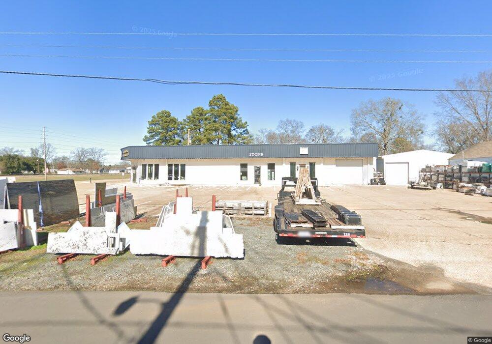
6560 Highway 3 Benton, LA 71006
Estimated Value: $685,558
--
Bed
--
Bath
10,161
Sq Ft
$67/Sq Ft
Est. Value
About This Home
This home is located at 6560 Highway 3, Benton, LA 71006 and is currently estimated at $685,558, approximately $67 per square foot. 6560 Highway 3 is a home located in Bossier Parish with nearby schools including Benton Elementary School, Benton Middle School, and Benton High School.
Ownership History
Date
Name
Owned For
Owner Type
Purchase Details
Closed on
Jan 4, 2019
Sold by
Branton Dennis A
Bought by
Twleonard Llc
Current Estimated Value
Home Financials for this Owner
Home Financials are based on the most recent Mortgage that was taken out on this home.
Original Mortgage
$427,882
Outstanding Balance
$377,707
Interest Rate
4.8%
Mortgage Type
New Conventional
Estimated Equity
$307,851
Purchase Details
Closed on
Jul 22, 2011
Sold by
Tims Food Store Inc
Bought by
Tarr Investments Llc
Create a Home Valuation Report for This Property
The Home Valuation Report is an in-depth analysis detailing your home's value as well as a comparison with similar homes in the area
Home Values in the Area
Average Home Value in this Area
Purchase History
| Date | Buyer | Sale Price | Title Company |
|---|---|---|---|
| Twleonard Llc | $427,882 | -- | |
| Tarr Investments Llc | $393,529 | None Available |
Source: Public Records
Mortgage History
| Date | Status | Borrower | Loan Amount |
|---|---|---|---|
| Open | Twleonard Llc | $427,882 |
Source: Public Records
Tax History Compared to Growth
Tax History
| Year | Tax Paid | Tax Assessment Tax Assessment Total Assessment is a certain percentage of the fair market value that is determined by local assessors to be the total taxable value of land and additions on the property. | Land | Improvement |
|---|---|---|---|---|
| 2024 | $11,440 | $86,942 | $20,604 | $66,338 |
| 2023 | $10,055 | $71,754 | $6,181 | $65,573 |
| 2022 | $8,336 | $59,685 | $6,181 | $53,504 |
| 2021 | $8,216 | $59,685 | $6,181 | $53,504 |
| 2020 | $7,487 | $59,685 | $6,181 | $53,504 |
| 2019 | $6,789 | $54,448 | $6,181 | $48,267 |
| 2018 | $5,124 | $40,444 | $6,181 | $34,263 |
| 2017 | $5,278 | $39,780 | $6,180 | $33,600 |
| 2016 | $5,278 | $39,780 | $6,180 | $33,600 |
| 2015 | $5,575 | $42,700 | $6,180 | $36,520 |
| 2014 | $5,569 | $42,700 | $6,180 | $36,520 |
Source: Public Records
Map
Nearby Homes
- 510 Lee St
- 0 Pine
- 0 Louisiana 162 Unit 20877322
- 1228 Old Plain Dealing Rd
- 00 Old Plain Dealing Rd
- 0000 Old Plain Dealing Rd
- 900 5th St
- TBD Pine St
- 515 5th St
- 814 Lee St
- 157 1st St
- 319 Larkin St
- 106 Mildred St
- 0 Lincoln Lots 14 15 + 16 Unit 21049972
- 0 Lincoln Lots 5 + 6 Unit 21049903
- 326 Montgomery Ln
- 200 Finley Dr
- 102 A Old Bellevue Rd
- 102 Old Bellevue Rd
- 265 Crestwood Cir
- 6560 Louisiana 3
- 6562 Highway 3
- 0 W Hartline Unit 20242562
- 0 Bridle Path Unit 1 14700144
- 0 Bridle Path Unit 1 14700134
- 0 Bridal Path Unit 1 14700125
- 0 Bridle Path Unit 14699750
- 0 Bridal Path Unit 14699788
- 0 Bridle Path Unit 14699767
- 0 Bridlepath Unit 14699734
- 0 Bridle Path Unit 14698196
- 0 W Hartline Unit 2 14575505
- 0 W Hartline Unit 21 263527NL
- 205 Heinle Way Unit 11
- 0 W Hartline Unit 24 263531NL
- 0 W Hartline Unit 20 263525NL
- 0 W Hartline Unit 19 263524NL
- 0 W Hartline Unit 18 263512NL
- 0 W Hartline Unit 16 263510NL
- 0 W Hartline Unit 15 263509NL