6560 Matson Rd Geneva, OH 44041
Estimated Value: $230,000 - $365,000
3
Beds
2
Baths
1,176
Sq Ft
$266/Sq Ft
Est. Value
About This Home
This home is located at 6560 Matson Rd, Geneva, OH 44041 and is currently estimated at $312,347, approximately $265 per square foot. 6560 Matson Rd is a home located in Ashtabula County with nearby schools including Geneva Middle School and Geneva High School.
Ownership History
Date
Name
Owned For
Owner Type
Purchase Details
Closed on
Mar 31, 2010
Sold by
Digiacomo Laura M and Digiacomo Stephen J
Bought by
Prostor Ruth L
Current Estimated Value
Purchase Details
Closed on
Sep 14, 2009
Sold by
Belding Virginia Marie and Belding Ronald
Bought by
Digiacomo Laura M
Create a Home Valuation Report for This Property
The Home Valuation Report is an in-depth analysis detailing your home's value as well as a comparison with similar homes in the area
Purchase History
| Date | Buyer | Sale Price | Title Company |
|---|---|---|---|
| Prostor Ruth L | -- | Chicago Title | |
| Digiacomo Laura M | $116,800 | Chicago Title Agency |
Source: Public Records
Tax History
| Year | Tax Paid | Tax Assessment Tax Assessment Total Assessment is a certain percentage of the fair market value that is determined by local assessors to be the total taxable value of land and additions on the property. | Land | Improvement |
|---|---|---|---|---|
| 2024 | $7,177 | $89,150 | $51,590 | $37,560 |
| 2023 | $3,976 | $89,150 | $51,590 | $37,560 |
| 2022 | $3,171 | $67,550 | $39,690 | $27,860 |
| 2021 | $3,178 | $67,550 | $39,690 | $27,860 |
| 2020 | $3,177 | $67,550 | $39,690 | $27,860 |
| 2019 | $3,340 | $67,830 | $39,480 | $28,350 |
| 2018 | $3,152 | $67,830 | $39,480 | $28,350 |
| 2017 | $2,982 | $67,830 | $39,480 | $28,350 |
| 2016 | $2,951 | $63,080 | $36,300 | $26,780 |
| 2015 | $6,035 | $63,080 | $36,300 | $26,780 |
| 2014 | $2,825 | $63,080 | $36,300 | $26,780 |
| 2013 | $2,574 | $59,160 | $28,670 | $30,490 |
Source: Public Records
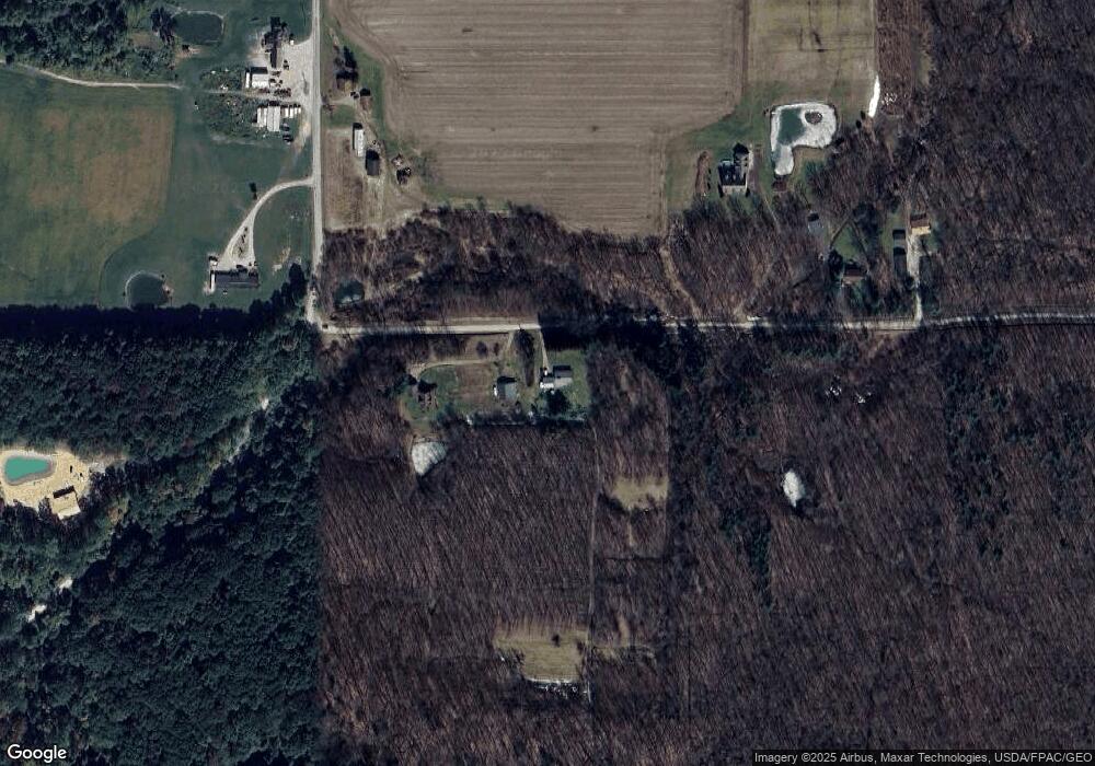
Map
Nearby Homes
- VL Atkins Rd
- 1037 Atkins Rd
- 6171 Barrett Rd
- 6810 Barrett Rd
- 18000 Thompson Rd
- 1838 State Route 534 S
- 5113 Boughner Rd
- 871 S County Line Rd
- 4902 Leslie Rd
- V/L White Rd
- 4852 White Rd
- 5810 Dewey Rd
- 5933 Bishop Rd
- 5323 N River State Rd 307 Rd
- V/L Warner Rd
- 0 Bates Rd
- 16107 Moseley Rd
- 1840 Alexander Ave
- 6042 Ford Rd
- 2111 Mechanicsville Rd
Your Personal Tour Guide
Ask me questions while you tour the home.