65600 Balk Rd Sturgis, MI 49091
Estimated Value: $516,000 - $642,998
Studio
--
Bath
2,239
Sq Ft
$259/Sq Ft
Est. Value
About This Home
This home is located at 65600 Balk Rd, Sturgis, MI 49091 and is currently estimated at $579,499, approximately $258 per square foot. 65600 Balk Rd is a home located in St. Joseph County with nearby schools including Sturgis High School.
Ownership History
Date
Name
Owned For
Owner Type
Purchase Details
Closed on
Nov 15, 2012
Sold by
Rood Lenore
Bought by
Rood Del J and Rood Lenore M
Current Estimated Value
Home Financials for this Owner
Home Financials are based on the most recent Mortgage that was taken out on this home.
Original Mortgage
$135,283
Outstanding Balance
$93,173
Interest Rate
3.32%
Mortgage Type
New Conventional
Estimated Equity
$486,326
Purchase Details
Closed on
Apr 23, 2003
Sold by
Bank One Indiana Na
Bought by
Rood Lenore
Purchase Details
Closed on
Aug 1, 2001
Sold by
Rood Del J and Rood Lenore M
Bought by
Bank One Indiana Na
Purchase Details
Closed on
Jan 1, 1901
Create a Home Valuation Report for This Property
The Home Valuation Report is an in-depth analysis detailing your home's value as well as a comparison with similar homes in the area
Purchase History
| Date | Buyer | Sale Price | Title Company |
|---|---|---|---|
| Rood Del J | -- | None Available | |
| Rood Lenore | $137,500 | -- | |
| Bank One Indiana Na | -- | -- | |
| -- | -- | -- |
Source: Public Records
Mortgage History
| Date | Status | Borrower | Loan Amount |
|---|---|---|---|
| Open | Rood Del J | $135,283 |
Source: Public Records
Tax History
| Year | Tax Paid | Tax Assessment Tax Assessment Total Assessment is a certain percentage of the fair market value that is determined by local assessors to be the total taxable value of land and additions on the property. | Land | Improvement |
|---|---|---|---|---|
| 2025 | $2,027 | $365,300 | $125,500 | $239,800 |
| 2024 | $1,972 | $333,900 | $109,600 | $224,300 |
| 2023 | $1,879 | $298,200 | $92,600 | $205,600 |
| 2022 | $0 | $266,700 | $66,500 | $200,200 |
| 2021 | $3,349 | $234,300 | $62,200 | $172,100 |
| 2020 | $1,713 | $235,400 | $61,300 | $174,100 |
| 2019 | $1,681 | $215,100 | $61,300 | $153,800 |
| 2018 | $4,346 | $198,400 | $61,300 | $137,100 |
| 2017 | $4,369 | $197,300 | $197,300 | $0 |
| 2016 | -- | $198,000 | $198,000 | $0 |
| 2015 | -- | $184,800 | $0 | $0 |
| 2014 | -- | $180,500 | $180,500 | $0 |
| 2012 | -- | $163,000 | $163,000 | $0 |
Source: Public Records
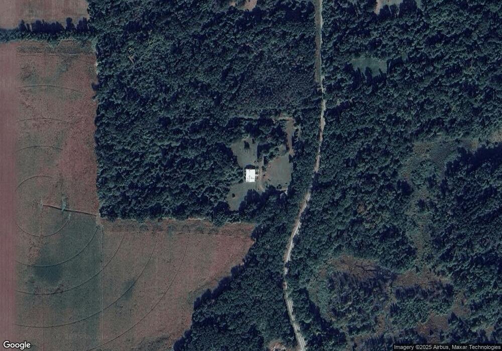
Map
Nearby Homes
- V/L Banker St
- 67747 Thunderbird Dr
- 67696 Thunderbird Dr
- 23772 Wilson Rd
- 0 Vl Seneca Ct
- 25675 Hiawatha Dr
- 27304 Oak Dr
- 708 N Centerville Rd
- 27810 Maystead Rd
- V/L White Pine Dr
- 28123 Timberly Dr
- 200 Broadus St
- 0 V L Butternut Dr
- 909 Merryview Dr
- 0 V L M66- 102+ - Unit 24045986
- 805 N Nottawa St
- 609 Sturgis St
- 1009 Sherwood Forrest Trail
- 1100 Sherwood Forrest Trail
- 600 Saint Joseph St
- 65600 Balk Rd
- 65375 Balk Rd
- 65340 Balk Rd
- 65283 Rocky Ln
- 65308 Balk Rd
- 65309 Balk Rd
- 25042 Mintdale Rd
- 25076 Mintdale Rd
- 24599 Mintdale Rd
- 25095 Mintdale Rd
- 24671 Mintdale Rd
- 25115 Mintdale Rd
- 25055 Mintdale Rd
- 25055 Mintdale Rd
- 25241 Mintdale Rd
- 25241 Mintdale Rd
- 65232 Rocky Ln
- 65232 Rocky Ln
- 65355 Balk Rd
- 25350 Kimberly Rd