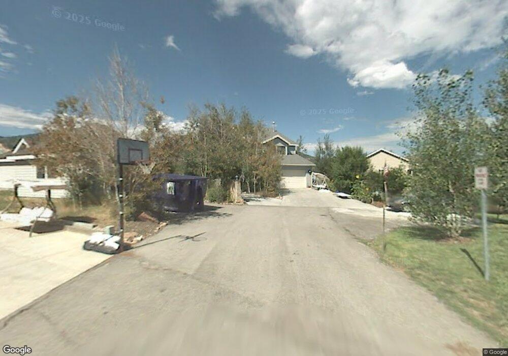
6561 N Mourning Dove Ct Silver Summit, UT 84098
Estimated Value: $1,133,000 - $1,279,062
3
Beds
3
Baths
1,670
Sq Ft
$724/Sq Ft
Est. Value
About This Home
This home is located at 6561 N Mourning Dove Ct, Silver Summit, UT 84098 and is currently estimated at $1,208,266, approximately $723 per square foot. 6561 N Mourning Dove Ct is a home located in Summit County with nearby schools including Trailside School, Ecker Hill Middle School, and Treasure Mountain Junior High School.
Ownership History
Date
Name
Owned For
Owner Type
Purchase Details
Closed on
Apr 29, 2009
Sold by
Armendariz Victor L and Armendariz Judith
Bought by
Armendariz Victor L and Armendariz Judith H
Current Estimated Value
Home Financials for this Owner
Home Financials are based on the most recent Mortgage that was taken out on this home.
Original Mortgage
$325,000
Outstanding Balance
$86,008
Interest Rate
4.99%
Mortgage Type
New Conventional
Estimated Equity
$1,122,258
Purchase Details
Closed on
May 15, 2008
Sold by
Armendariz Victor L and Armendariz Judith
Bought by
Armendariz Victor L and Armendariz Judith
Home Financials for this Owner
Home Financials are based on the most recent Mortgage that was taken out on this home.
Original Mortgage
$320,000
Interest Rate
5.88%
Mortgage Type
New Conventional
Create a Home Valuation Report for This Property
The Home Valuation Report is an in-depth analysis detailing your home's value as well as a comparison with similar homes in the area
Home Values in the Area
Average Home Value in this Area
Purchase History
| Date | Buyer | Sale Price | Title Company |
|---|---|---|---|
| Armendariz Victor L | -- | -- | |
| Armendariz Victor L | -- | First American Title Ins Ag |
Source: Public Records
Mortgage History
| Date | Status | Borrower | Loan Amount |
|---|---|---|---|
| Open | Armendariz Victor L | $325,000 | |
| Closed | Armendariz Victor L | $320,000 |
Source: Public Records
Tax History Compared to Growth
Tax History
| Year | Tax Paid | Tax Assessment Tax Assessment Total Assessment is a certain percentage of the fair market value that is determined by local assessors to be the total taxable value of land and additions on the property. | Land | Improvement |
|---|---|---|---|---|
| 2024 | $3,591 | $627,509 | $192,500 | $435,009 |
| 2023 | $3,591 | $627,509 | $192,500 | $435,009 |
| 2022 | $3,982 | $615,130 | $192,500 | $422,630 |
| 2021 | $2,498 | $335,261 | $79,750 | $255,511 |
| 2020 | $2,644 | $335,261 | $79,750 | $255,511 |
| 2019 | $2,771 | $335,261 | $79,750 | $255,511 |
| 2018 | $2,076 | $251,163 | $48,263 | $202,900 |
| 2017 | $1,929 | $251,163 | $48,263 | $202,900 |
| 2016 | $2,075 | $251,163 | $48,263 | $202,900 |
| 2015 | $2,009 | $229,499 | $0 | $0 |
| 2013 | $1,615 | $173,793 | $0 | $0 |
Source: Public Records
Map
Nearby Homes
- 1348 Fiddich Glen Ln
- 1348 Fiddich Glen Ln Unit 9
- 1339 Fiddich Glen Ln
- 6642 Trout Creek Ct
- 6322 Park Ln N Unit 3
- 1370 Center Dr Unit 12
- 1370 Center Dr Unit 21
- 1370 Center Dr Unit 17
- 1476 Newpark Blvd Unit 402
- 1476 Newpark Blvd Unit 308
- 1456 Newpark Blvd Unit 417
- 1456 Newpark Blvd Unit 213
- 1126 Station Loop Rd
- 1102 Station Loop Rd
- 6169 Park Ln S Unit 60
- 6169 Park Ln S Unit 44
- 6169 Park Ln S Unit 30
- 6169 Park Ln S Unit 9
- 6559 N Mourning Dove Ct
- 6557 Mourning Dove Way
- 6559 Mourning Dove Way
- 1589 Pheasant Way
- 6561 Mourning Dove Way
- 6556 Mourning Dove Way
- 6560 Mourning Dove Way
- 1591 Pheasant Way
- 1406 Pheasant Way
- 1428 Pheasant Way
- 1357 Pheasant Way
- 1593 Pheasant Way
- 1374 Pheasant Way
- 1452 Pheasant Way
- 1353 Pheasant Way
- 1595 Pheasant Way
- 6584 Creekside Dr
- 6584 Creekside Ln
- 6584 Creekside Dr Unit 201
- 6584 Creekside Dr Unit 200