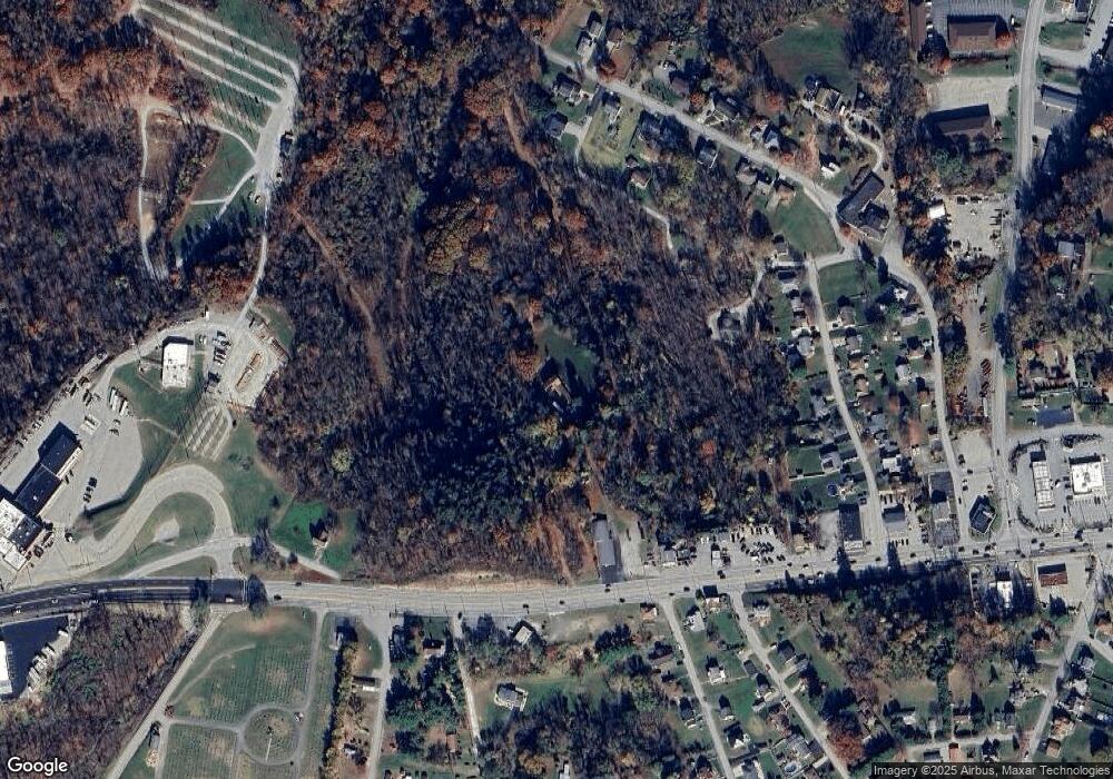
6563 Route 30 Hempfield Township - Wml, PA 15644
Hempfield Township NeighborhoodEstimated Value: $377,000 - $396,000
--
Bed
--
Bath
1,970
Sq Ft
$198/Sq Ft
Est. Value
About This Home
This home is located at 6563 Route 30, Hempfield Township - Wml, PA 15644 and is currently estimated at $389,667, approximately $197 per square foot. 6563 Route 30 is a home located in Westmoreland County with nearby schools including West Hempfield Elementary School, West Hempfield Middle School, and Hempfield Area Senior High School.
Ownership History
Date
Name
Owned For
Owner Type
Purchase Details
Closed on
May 23, 2017
Sold by
Banzhaf Wihlem and Banzhaf Gisela U
Bought by
Clyde Harry M and Clyde Susanne
Current Estimated Value
Home Financials for this Owner
Home Financials are based on the most recent Mortgage that was taken out on this home.
Original Mortgage
$365,000
Outstanding Balance
$302,958
Interest Rate
4.03%
Mortgage Type
VA
Estimated Equity
$86,709
Create a Home Valuation Report for This Property
The Home Valuation Report is an in-depth analysis detailing your home's value as well as a comparison with similar homes in the area
Home Values in the Area
Average Home Value in this Area
Purchase History
| Date | Buyer | Sale Price | Title Company |
|---|---|---|---|
| Clyde Harry M | $365,000 | None Available |
Source: Public Records
Mortgage History
| Date | Status | Borrower | Loan Amount |
|---|---|---|---|
| Open | Clyde Harry M | $365,000 |
Source: Public Records
Tax History Compared to Growth
Tax History
| Year | Tax Paid | Tax Assessment Tax Assessment Total Assessment is a certain percentage of the fair market value that is determined by local assessors to be the total taxable value of land and additions on the property. | Land | Improvement |
|---|---|---|---|---|
| 2025 | $5,283 | $43,220 | $5,190 | $38,030 |
| 2024 | $5,067 | $43,220 | $5,190 | $38,030 |
| 2023 | $4,666 | $43,220 | $5,190 | $38,030 |
| 2022 | $4,666 | $43,220 | $5,190 | $38,030 |
| 2021 | $4,666 | $43,220 | $5,190 | $38,030 |
| 2020 | $4,666 | $43,220 | $5,190 | $38,030 |
| 2019 | $3,941 | $36,680 | $4,200 | $32,480 |
| 2018 | $3,895 | $36,680 | $4,200 | $32,480 |
| 2017 | $3,805 | $36,680 | $4,200 | $32,480 |
| 2016 | $3,617 | $36,680 | $4,200 | $32,480 |
| 2015 | $3,617 | $36,680 | $4,200 | $32,480 |
| 2014 | $3,562 | $36,680 | $4,200 | $32,480 |
Source: Public Records
Map
Nearby Homes
- 6563 State Route 30
- 000 Lewis Ave
- 32 Wayne Ave
- 1026 Jefferson Ave
- 207 Hideaway Ln
- 813 Washington Ave
- 705 Ash St
- 49 Millersdale Rd
- 0 Pennsylvania Blvd
- 644 Birch St
- 406 Vine St
- 608 Washington Ave
- 600 Lewis Ave
- 507 Michigan Ave
- 602 Division St
- 506 Lowry Ave
- 408 Michigan Ave
- 400 Michigan Ave
- Lot 7 Linden Dr
- 424-426 Cassatt Ave
- 106 Cranberry St
- 6553 Route 30
- 118 Cranberry St
- 6565 State Route 30
- 6565 Route 30
- 121 Cranberry St
- 6553 U S 30
- 205 Margaret Ave
- 203 Margaret Ave
- 201 Margaret Ave
- 100 Cranberry St
- 1 Landis Ave
- 101 School St
- 215 Margaret Ave
- 132 Cranberry St
- 1102 Sunview Ave
- 1106 Sunview Ave
- 2 Landis Ave
- 307 Sunview Ave
- 1094 Sunview Ave
