6565 Commonwealth Dr Roanoke, VA 24018
Cave Spring NeighborhoodEstimated Value: $1,399,850
Studio
--
Bath
--
Sq Ft
7.76
Acres
About This Home
This home is located at 6565 Commonwealth Dr, Roanoke, VA 24018 and is currently estimated at $1,399,850. 6565 Commonwealth Dr is a home located in Roanoke County with nearby schools including Penn Forest Elementary School, Cave Spring Middle School, and Cave Spring High School.
Ownership History
Date
Name
Owned For
Owner Type
Purchase Details
Closed on
Sep 30, 2013
Sold by
The Economic Development Authority Of Ro
Bought by
The Mennel Milling Company Of Virgnia In
Current Estimated Value
Home Financials for this Owner
Home Financials are based on the most recent Mortgage that was taken out on this home.
Original Mortgage
$735,000
Outstanding Balance
$552,939
Interest Rate
4.53%
Mortgage Type
Future Advance Clause Open End Mortgage
Estimated Equity
$846,911
Purchase Details
Closed on
Aug 28, 2013
Sold by
Commonwealth Of Virginia Department Of T
Bought by
The Economic Development Authority Of Ro
Home Financials for this Owner
Home Financials are based on the most recent Mortgage that was taken out on this home.
Original Mortgage
$735,000
Outstanding Balance
$552,939
Interest Rate
4.53%
Mortgage Type
Future Advance Clause Open End Mortgage
Estimated Equity
$846,911
Create a Home Valuation Report for This Property
The Home Valuation Report is an in-depth analysis detailing your home's value as well as a comparison with similar homes in the area
Home Values in the Area
Average Home Value in this Area
Purchase History
| Date | Buyer | Sale Price | Title Company |
|---|---|---|---|
| The Mennel Milling Company Of Virgnia In | $735,000 | None Available | |
| The Economic Development Authority Of Ro | $735,000 | None Available |
Source: Public Records
Mortgage History
| Date | Status | Borrower | Loan Amount |
|---|---|---|---|
| Open | The Mennel Milling Company Of Virgnia In | $735,000 | |
| Closed | The Economic Development Authority Of Ro | $735,000 |
Source: Public Records
Tax History Compared to Growth
Tax History
| Year | Tax Paid | Tax Assessment Tax Assessment Total Assessment is a certain percentage of the fair market value that is determined by local assessors to be the total taxable value of land and additions on the property. | Land | Improvement |
|---|---|---|---|---|
| 2025 | $6,394 | $620,800 | $620,800 | $0 |
| 2024 | $6,456 | $620,800 | $620,800 | $0 |
| 2023 | $6,580 | $620,800 | $620,800 | $0 |
| 2022 | $6,767 | $620,800 | $620,800 | $0 |
| 2021 | $6,767 | $620,800 | $620,800 | $0 |
| 2020 | $6,767 | $620,800 | $620,800 | $0 |
| 2019 | $6,767 | $620,800 | $620,800 | $0 |
| 2018 | $6,767 | $620,800 | $620,800 | $0 |
| 2017 | $6,767 | $620,800 | $620,800 | $0 |
| 2016 | $6,767 | $620,800 | $620,800 | $0 |
| 2015 | $6,349 | $582,500 | $582,500 | $0 |
| 2014 | $6,349 | $582,500 | $582,500 | $0 |
Source: Public Records
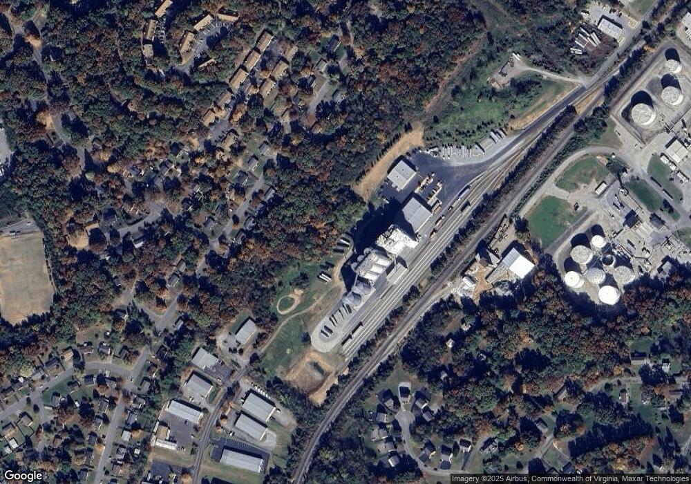
Map
Nearby Homes
- 5522 Crestwood Dr Unit 5524
- 3351 Forest Ridge Rd
- 3349 Forest Ridge Rd
- 3347 Forest Ridge Rd
- 2952 Tree Swallow Rd
- 3745 Hummingbird Ln
- 5424 Crescent Blvd
- 3034 Tree Top Ln
- 3400 Kim Ct Unit A20
- 3400 Kim Ct Unit A15
- 3608 Verona Trail
- 5525 Arthur St
- 5603 Rockbridge Ct
- 7122 Woods Crossing Dr
- 4005 Chaparral Dr
- 3516 Stonehenge Square
- 7311 Maple Ct
- 7313 Maple Ct SW
- 0 Starkey Rd
- 3750 Kenwick Trail
- 3574 Meadowlark Rd
- 3580 Meadowlark Rd
- 3568 Meadowlark Rd
- 3586 Meadowlark Rd
- 3562 Meadowlark Rd
- 3604 Meadowlark Rd
- 3556 Meadowlark Rd
- 6560 Commonwealth Dr
- 3610 Meadowlark Rd
- 3548 Meadowlark Rd
- 5185 Benois Rd
- 3577 Meadowlark Rd
- 3571 Meadowlark Rd
- 3583 Meadowlark Rd
- 3565 Meadowlark Rd
- 3616 Meadowlark Rd
- 3540 Meadowlark Rd
- 3559 Meadowlark Rd
- 3605 Meadowlark Rd
- 3622 Meadowlark Rd