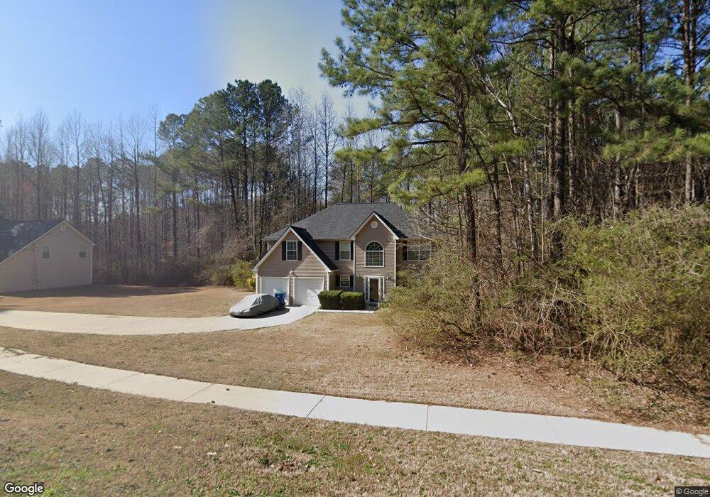
6565 Jones Rd Atlanta, GA 30349
Estimated Value: $344,000 - $410,000
4
Beds
3
Baths
2,883
Sq Ft
$132/Sq Ft
Est. Value
About This Home
This home is located at 6565 Jones Rd, Atlanta, GA 30349 and is currently estimated at $380,021, approximately $131 per square foot. 6565 Jones Rd is a home located in Fulton County with nearby schools including Wolf Creek Elementary, Renaissance Middle School, and Langston Hughes High School.
Ownership History
Date
Name
Owned For
Owner Type
Purchase Details
Closed on
May 31, 2006
Sold by
Downeast Builders & Realty Inc
Bought by
Robinson Brette
Current Estimated Value
Home Financials for this Owner
Home Financials are based on the most recent Mortgage that was taken out on this home.
Original Mortgage
$162,900
Outstanding Balance
$111,606
Interest Rate
9.75%
Mortgage Type
New Conventional
Estimated Equity
$268,415
Create a Home Valuation Report for This Property
The Home Valuation Report is an in-depth analysis detailing your home's value as well as a comparison with similar homes in the area
Home Values in the Area
Average Home Value in this Area
Purchase History
| Date | Buyer | Sale Price | Title Company |
|---|---|---|---|
| Robinson Brette | $181,000 | -- |
Source: Public Records
Mortgage History
| Date | Status | Borrower | Loan Amount |
|---|---|---|---|
| Open | Robinson Brette | $162,900 |
Source: Public Records
Tax History Compared to Growth
Tax History
| Year | Tax Paid | Tax Assessment Tax Assessment Total Assessment is a certain percentage of the fair market value that is determined by local assessors to be the total taxable value of land and additions on the property. | Land | Improvement |
|---|---|---|---|---|
| 2025 | $5,749 | $149,240 | $29,760 | $119,480 |
| 2023 | $4,212 | $149,240 | $29,760 | $119,480 |
| 2022 | $2,953 | $75,320 | $15,920 | $59,400 |
| 2021 | $2,925 | $73,080 | $15,440 | $57,640 |
| 2020 | $2,940 | $72,240 | $15,280 | $56,960 |
| 2019 | $2,802 | $70,960 | $15,000 | $55,960 |
| 2018 | $2,758 | $69,280 | $14,640 | $54,640 |
| 2017 | $2,061 | $50,560 | $13,480 | $37,080 |
| 2016 | $2,061 | $50,560 | $13,480 | $37,080 |
| 2015 | $2,067 | $50,560 | $13,480 | $37,080 |
| 2014 | $2,180 | $50,560 | $13,480 | $37,080 |
Source: Public Records
Map
Nearby Homes
- 4327 Shamrock Dr
- 4270 Holliday Rd
- 4189 Post Oak Grove
- 4247 Butternut Place
- 4185 Post Oak Grove
- 4369 Estate St
- 6292 Dekeon Dr
- 6639 Overlook Ridge
- 4224 Butternut Place
- 6684 Crane Ave
- 0 Jones Rd Unit 10486732
- 0 Jones Rd Unit 7548174
- 6474 E Stubbs Rd
- 6640 E Stubbs Rd
- 4140 Butternut Place
- 6476 Snowden Dr
- 6390 E Stubbs Rd
- 6843 Foxfire Place
- 6300 E Stubbs Rd
- 6575 Jones Rd
- 6570 Jones Rd
- 4408 Shamrock Dr
- 640 Blueangel Dr
- 630 Blueangel Dr
- 645 Blueangel Dr
- 6580 Jones Rd
- 6470 Jones Rd Unit 1
- 620 Blueangel Dr
- 635 Blueangel Dr
- 4400 Shamrock Dr
- 4509 Estate St
- 625 Blueangel Dr
- 4405 Wild Lake Dr
- 4396 Shamrock Dr
- 4395 Shamrock Dr
- 6590 Jones Rd
- 6460 Jones Rd
- 0 Blueangel Dr Unit 3290596
- 0 Blueangel Dr