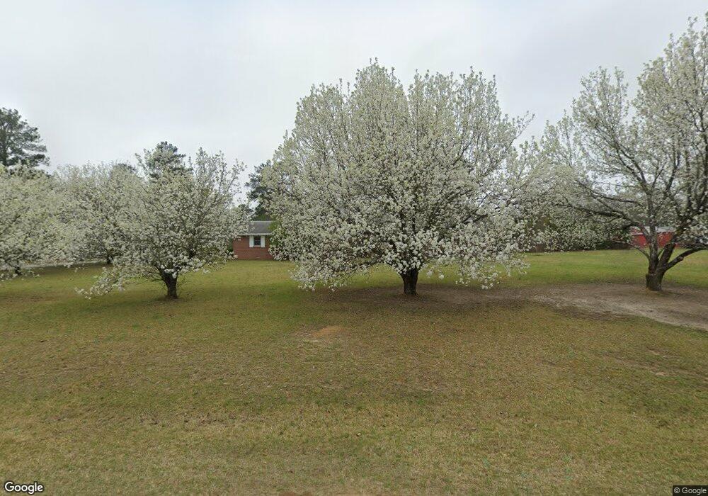
6565 Perkins Dr Macon, GA 31216
Estimated Value: $192,000 - $277,000
3
Beds
2
Baths
1,921
Sq Ft
$124/Sq Ft
Est. Value
About This Home
This home is located at 6565 Perkins Dr, Macon, GA 31216 and is currently estimated at $238,745, approximately $124 per square foot. 6565 Perkins Dr is a home located in Bibb County with nearby schools including Heard Elementary School, Rutland Middle School, and Rutland High School.
Ownership History
Date
Name
Owned For
Owner Type
Purchase Details
Closed on
Jul 8, 2005
Sold by
Mimbs Virginia B
Bought by
Hinson Chipper L
Current Estimated Value
Home Financials for this Owner
Home Financials are based on the most recent Mortgage that was taken out on this home.
Original Mortgage
$144,450
Outstanding Balance
$83,844
Interest Rate
7.65%
Mortgage Type
Adjustable Rate Mortgage/ARM
Estimated Equity
$154,901
Create a Home Valuation Report for This Property
The Home Valuation Report is an in-depth analysis detailing your home's value as well as a comparison with similar homes in the area
Home Values in the Area
Average Home Value in this Area
Purchase History
| Date | Buyer | Sale Price | Title Company |
|---|---|---|---|
| Hinson Chipper L | $160,500 | None Available |
Source: Public Records
Mortgage History
| Date | Status | Borrower | Loan Amount |
|---|---|---|---|
| Open | Hinson Chipper L | $144,450 |
Source: Public Records
Tax History Compared to Growth
Tax History
| Year | Tax Paid | Tax Assessment Tax Assessment Total Assessment is a certain percentage of the fair market value that is determined by local assessors to be the total taxable value of land and additions on the property. | Land | Improvement |
|---|---|---|---|---|
| 2025 | $1,373 | $62,867 | $8,280 | $54,587 |
| 2024 | $1,419 | $62,867 | $8,280 | $54,587 |
| 2023 | $962 | $62,867 | $8,280 | $54,587 |
| 2022 | $1,583 | $52,716 | $7,477 | $45,239 |
| 2021 | $1,737 | $52,716 | $7,477 | $45,239 |
| 2020 | $1,775 | $52,716 | $7,477 | $45,239 |
| 2019 | $1,790 | $52,716 | $7,477 | $45,239 |
| 2018 | $2,921 | $52,716 | $7,477 | $45,239 |
| 2017 | $1,713 | $52,716 | $7,477 | $45,239 |
| 2016 | $1,582 | $52,716 | $7,477 | $45,239 |
| 2015 | $2,239 | $52,716 | $7,477 | $45,239 |
| 2014 | $2,254 | $52,943 | $7,704 | $45,239 |
Source: Public Records
Map
Nearby Homes
- 6662 Goodall Mill Rd
- 114 Alayna Ct
- 312 Mill Meadow Rd
- 4651 Griffin Dr
- 2165 Griffin Dr
- 334 Cody Dr
- 332 Cody Dr
- 174 Goodall Woods Dr
- 303 Cody Dr
- 191 Goodall Woods Dr
- 320 Cody Dr
- 108 Alayna Ct
- Jodeco Plan at Goodall Woods
- Sierra Plan at Goodall Woods
- Poplar Plan at Goodall Woods
- Russell Plan at Goodall Woods
- Clayton Plan at Goodall Woods
- 318 Cody Dr
- 104 Alayna Ct
- 4285 Holly Hill Dr
- 0 Perkins Cir Unit 8104810
- 0 Perkins Cir Unit 7397476
- 0 Perkins Cir
- 6551 Perkins Dr
- 6564 Perkins Dr
- 6550 Perkins Dr
- 6612 Perkins Cir
- 6605 Perkins Cir
- 6535 Perkins Dr
- 6694 Perkins Cir
- 0 Perkins Dr
- 6534 Perkins Dr
- 6611 Perkins Cir
- 6686 Perkins Cir
- 6619 Perkins Cir
- 4545 Terrell Dr
- 6521 Perkins Dr
- 6526 Perkins Dr
- 6676 Perkins Cir
- 6642 Perkins Cir