65656 Ring of Fire Ave Anchor Point, AK 99556
Estimated Value: $40,000 - $263,345
3
Beds
1
Bath
1,212
Sq Ft
$152/Sq Ft
Est. Value
About This Home
This home is located at 65656 Ring of Fire Ave, Anchor Point, AK 99556 and is currently estimated at $183,782, approximately $151 per square foot. 65656 Ring of Fire Ave is a home located in Kenai Peninsula Borough with nearby schools including Nikolaevsk School.
Create a Home Valuation Report for This Property
The Home Valuation Report is an in-depth analysis detailing your home's value as well as a comparison with similar homes in the area
Home Values in the Area
Average Home Value in this Area
Tax History Compared to Growth
Tax History
| Year | Tax Paid | Tax Assessment Tax Assessment Total Assessment is a certain percentage of the fair market value that is determined by local assessors to be the total taxable value of land and additions on the property. | Land | Improvement |
|---|---|---|---|---|
| 2025 | -- | $209,700 | $64,800 | $144,900 |
| 2024 | $967 | $211,600 | $62,900 | $148,700 |
| 2023 | $967 | $198,300 | $53,200 | $145,100 |
| 2022 | $0 | $163,900 | $46,600 | $117,300 |
| 2021 | $967 | $163,400 | $44,900 | $118,500 |
| 2020 | $967 | $161,100 | $44,900 | $116,200 |
| 2019 | $967 | $146,400 | $29,500 | $116,900 |
| 2018 | $0 | $146,500 | $29,500 | $117,000 |
| 2017 | -- | $138,600 | $29,500 | $109,100 |
| 2016 | $967 | $138,300 | $29,500 | $108,800 |
| 2015 | $1,096 | $130,900 | $29,500 | $101,400 |
| 2014 | $1,096 | $131,200 | $29,500 | $101,700 |
Source: Public Records
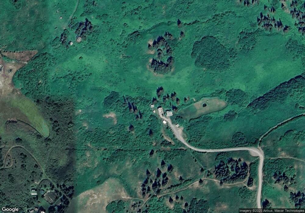
Map
Nearby Homes
- 65676 Ring of Fire Ave
- 66822 Kennedy Ave
- 34540 Alamar Rd
- 34113 Bluegrass St
- Tr 43 Handcart Rd (Trail Access)
- 38593 Taylor St
- 68062 Jolly Ave
- 39047 Sayer Rd
- 68021 Jolly Ave
- 33790 Handcart Rd
- 33670 Handcart Rd
- 14 Lots Hard Rock St
- 42706 Old Sterling Hwy
- 69783 Tipton Ave
- 39720 Sterling Hwy
- 0001 W Highland Blvd
- 0002 W Highland Blvd
- 41350 Old Sterling Hwy Unit L2B
- 41350 Old Sterling Hwy Unit L2A
- 69288 Melody Way