65656 Taylor Rd Sturgis, MI 49091
Estimated Value: $469,000 - $539,000
--
Bed
1
Bath
2,490
Sq Ft
$205/Sq Ft
Est. Value
About This Home
This home is located at 65656 Taylor Rd, Sturgis, MI 49091 and is currently estimated at $510,461, approximately $205 per square foot. 65656 Taylor Rd is a home located in St. Joseph County with nearby schools including Sturgis High School, Lake Area Christian School, and St John's Lutheran School.
Ownership History
Date
Name
Owned For
Owner Type
Purchase Details
Closed on
Aug 20, 2020
Sold by
Wingard John F
Bought by
Rodman Scott A and Rodman Debbie L
Current Estimated Value
Home Financials for this Owner
Home Financials are based on the most recent Mortgage that was taken out on this home.
Original Mortgage
$337,250
Outstanding Balance
$298,607
Interest Rate
2.9%
Mortgage Type
New Conventional
Estimated Equity
$211,854
Purchase Details
Closed on
Dec 11, 2017
Sold by
Sybesma Carol S
Bought by
Wingard John F
Home Financials for this Owner
Home Financials are based on the most recent Mortgage that was taken out on this home.
Original Mortgage
$256,000
Interest Rate
3.5%
Mortgage Type
Adjustable Rate Mortgage/ARM
Purchase Details
Closed on
Mar 22, 2002
Sold by
Wright Mort E and Wright Sally L
Bought by
Sybesma Carol S
Create a Home Valuation Report for This Property
The Home Valuation Report is an in-depth analysis detailing your home's value as well as a comparison with similar homes in the area
Home Values in the Area
Average Home Value in this Area
Purchase History
| Date | Buyer | Sale Price | Title Company |
|---|---|---|---|
| Rodman Scott A | $365,000 | Patrick Abtract & Title Offi | |
| Wingard John F | $327,000 | Patrick Abstract And Title O | |
| Sybesma Carol S | $185,000 | -- |
Source: Public Records
Mortgage History
| Date | Status | Borrower | Loan Amount |
|---|---|---|---|
| Open | Rodman Scott A | $337,250 | |
| Previous Owner | Wingard John F | $256,000 |
Source: Public Records
Tax History Compared to Growth
Tax History
| Year | Tax Paid | Tax Assessment Tax Assessment Total Assessment is a certain percentage of the fair market value that is determined by local assessors to be the total taxable value of land and additions on the property. | Land | Improvement |
|---|---|---|---|---|
| 2025 | $5,478 | $258,700 | $65,700 | $193,000 |
| 2024 | $1,872 | $238,500 | $57,300 | $181,200 |
| 2023 | $1,783 | $218,200 | $47,300 | $170,900 |
| 2022 | $0 | $183,200 | $34,600 | $148,600 |
| 2021 | $3,077 | $151,300 | $32,300 | $119,000 |
| 2020 | $1,320 | $150,400 | $31,500 | $118,900 |
| 2019 | $1,296 | $135,900 | $31,500 | $104,400 |
| 2018 | $3,061 | $109,600 | $31,500 | $78,100 |
| 2017 | $2,705 | $106,200 | $106,200 | $0 |
| 2016 | -- | $104,900 | $104,900 | $0 |
| 2015 | -- | $98,600 | $0 | $0 |
| 2014 | -- | $96,300 | $96,300 | $0 |
| 2012 | -- | $88,200 | $88,200 | $0 |
Source: Public Records
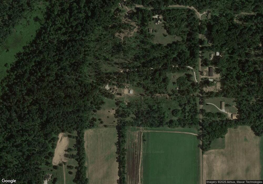
Map
Nearby Homes
- 65289 Balk Rd
- 66109 Hideaway Ln
- V/L Banker St
- 67696 Thunderbird Dr
- 0 N Centerville Rd
- 708 N Centerville Rd
- 66223 Grey Lake Rd
- VL2 Ottokee Dr
- VL1 Ottokee Dr
- 0 Vl Seneca Ct
- 27810 Maystead Rd
- V/L White Pine Dr
- 28123 Timberly Dr
- 23772 Wilson Rd
- 28195 Blackberry Ln
- 0 V L M66- 102+ - Unit 24045986
- 200 Broadus St
- 1100 Sherwood Forrest Trail
- 814 N Lakeview Ave
- 607 George St
- 65656 Taylor Rd
- 65569 Taylor Rd
- 65495 Taylor Rd
- 65603 Taylor Rd
- 65651 Taylor Rd
- 65495 Taylor Rd
- 65515 Taylor Rd
- 0 Taylor Rd
- 65472 Taylor Rd
- 25739 Mintdale Rd
- 25679 Mintdale Rd
- 25536 Mintdale Rd
- 65705 Taylor Rd
- 25420 Mintdale Rd
- 65370 Taylor Rd
- 25340 Mintdale Rd
- 25961 Mintdale Rd
- 000 Confidential
- 0 S M-66 Hwy Unit 23012858
- 0 S M-66 Hwy Unit 68020049470