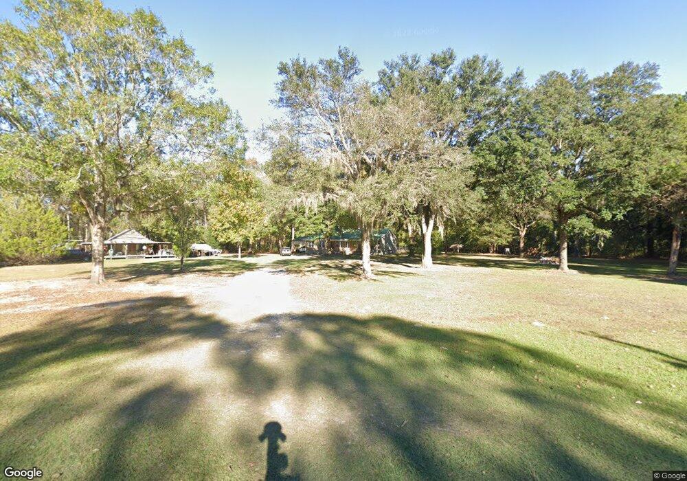
6566 Cox Rd SW Townsend, GA 31331
Estimated Value: $198,000 - $407,000
3
Beds
2
Baths
1,736
Sq Ft
$166/Sq Ft
Est. Value
About This Home
This home is located at 6566 Cox Rd SW, Townsend, GA 31331 and is currently estimated at $288,703, approximately $166 per square foot. 6566 Cox Rd SW is a home located in McIntosh County with nearby schools including Todd Grant Elementary School, McIntosh County Middle School, and McIntosh County Academy.
Ownership History
Date
Name
Owned For
Owner Type
Purchase Details
Closed on
Apr 29, 2021
Sold by
Poppell Sandra
Bought by
Mcneal William R and Mcneal Georgia E
Current Estimated Value
Purchase Details
Closed on
Jan 1, 2017
Sold by
Poppell Charles Steven
Bought by
Poppell Sandra Jean
Purchase Details
Closed on
Oct 2, 2008
Sold by
Poppell Charles
Bought by
Poppell Sandra
Purchase Details
Closed on
Jul 23, 1999
Sold by
Poppell Craig and Poppell Stev
Bought by
Poppell Charles S
Purchase Details
Closed on
Sep 13, 1995
Bought by
Poppell Craig and Poppell Stev
Create a Home Valuation Report for This Property
The Home Valuation Report is an in-depth analysis detailing your home's value as well as a comparison with similar homes in the area
Purchase History
| Date | Buyer | Sale Price | Title Company |
|---|---|---|---|
| Mcneal William R | -- | -- | |
| Poppell Sandra Jean | -- | -- | |
| Poppell Sandra | -- | -- | |
| Poppell Charles S | -- | -- | |
| Poppell Craig | $11,000 | -- |
Source: Public Records
Tax History
| Year | Tax Paid | Tax Assessment Tax Assessment Total Assessment is a certain percentage of the fair market value that is determined by local assessors to be the total taxable value of land and additions on the property. | Land | Improvement |
|---|---|---|---|---|
| 2025 | $1,774 | $91,956 | $4,880 | $87,076 |
| 2024 | $1,640 | $91,836 | $4,680 | $87,156 |
| 2023 | $1,645 | $80,436 | $4,280 | $76,156 |
| 2022 | $1,645 | $70,256 | $4,040 | $66,216 |
| 2021 | $152 | $55,632 | $4,040 | $51,592 |
| 2020 | $152 | $52,680 | $4,040 | $48,640 |
| 2019 | $152 | $46,768 | $4,040 | $42,728 |
| 2018 | $1,243 | $46,768 | $4,040 | $42,728 |
| 2017 | $152 | $44,328 | $4,040 | $40,288 |
| 2016 | $152 | $44,328 | $4,040 | $40,288 |
| 2015 | $128 | $39,146 | $2,437 | $36,710 |
| 2014 | $128 | $44,495 | $7,785 | $36,710 |
Source: Public Records
Map
Nearby Homes
- 5930 Cox Rd
- Tbd Possum Point Rd
- Tbd Possum Point Rd
- 0 Georgia 251
- 1 Acre Georgia 251
- 1047 Juniper Ln SW
- Lot 3 Osprey Cove
- 2771 Georgia 251
- 2801 Georgia Hwy 251
- Lt 12 Black Cypress Dr SW
- 1021 Kyles Loop NE
- 2800 Youngs Island Rd NW
- 1106 Oak St NW
- 1.18 AC Gobbler Ln
- 0 King Swamp Rd
- 11 Boardwalk Ave
- 1186 Post Rd
- 1231 River Dr SW
- Lot 43 Freedom Trail SW
- Lot 30 Freedom Trail SW
- 6587 Cox Rd SW
- 6593 Cox Hwy (Mobile Home Only)
- 6629 Cox Rd SW
- 6483 Cox Rd SW
- 1030 Bolin Rd SW
- 6463 Cox Rd SW
- 6450 Cox Rd SW
- 1104 Possum Point Rd SW
- 1121 Possum Point Rd SW
- 1208 Possum Point Rd SW
- 6271 Cox Rd SW
- 1079 Possum Point Rd SW
- 0 Bolin Rd Unit 7306312
- 1175 Eddie Amos Rd SW
- 1265 Eddie Amos Rd SW
- 6104 Cox Rd SW
- Tbd Possum Point Rd
- 1366 Eddie Amos Rd SW
- 1342 Fort Barrington Rd SW
- 1451 Eddie Amos Rd SW
Your Personal Tour Guide
Ask me questions while you tour the home.