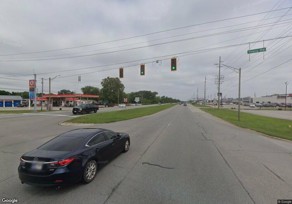
6566 N U S Highway 31 New Whiteland, IN 46184
Estimated Value: $253,554 - $345,000
2
Beds
2
Baths
1,560
Sq Ft
$179/Sq Ft
Est. Value
About This Home
This home is located at 6566 N U S Highway 31, New Whiteland, IN 46184 and is currently estimated at $279,139, approximately $178 per square foot. 6566 N U S Highway 31 is a home located in Johnson County with nearby schools including Break-O-Day Elementary School, Clark-Pleasant Middle School, and Whiteland Community High School.
Ownership History
Date
Name
Owned For
Owner Type
Purchase Details
Closed on
Aug 23, 2022
Sold by
Tran Minh V
Bought by
Ferrell Justin M and Ferrell Carly S
Current Estimated Value
Home Financials for this Owner
Home Financials are based on the most recent Mortgage that was taken out on this home.
Original Mortgage
$7,969
Outstanding Balance
$239
Interest Rate
5.22%
Mortgage Type
New Conventional
Estimated Equity
$278,900
Purchase Details
Closed on
Jan 11, 2019
Sold by
Cripps Jerry L and Cripps Julie A
Bought by
Tran Minh V
Home Financials for this Owner
Home Financials are based on the most recent Mortgage that was taken out on this home.
Original Mortgage
$104,000
Interest Rate
4.6%
Purchase Details
Closed on
Dec 8, 2017
Sold by
Smith Charlene P
Bought by
Cripps Jerry L and Cripps Julie A
Create a Home Valuation Report for This Property
The Home Valuation Report is an in-depth analysis detailing your home's value as well as a comparison with similar homes in the area
Home Values in the Area
Average Home Value in this Area
Purchase History
| Date | Buyer | Sale Price | Title Company |
|---|---|---|---|
| Ferrell Justin M | -- | -- | |
| Tran Minh V | -- | Ata National Title Group | |
| Cripps Jerry L | -- | -- |
Source: Public Records
Mortgage History
| Date | Status | Borrower | Loan Amount |
|---|---|---|---|
| Open | Ferrell Justin M | $7,969 | |
| Open | Ferrell Justin M | $223,575 | |
| Previous Owner | Tran Minh V | $104,000 |
Source: Public Records
Tax History Compared to Growth
Tax History
| Year | Tax Paid | Tax Assessment Tax Assessment Total Assessment is a certain percentage of the fair market value that is determined by local assessors to be the total taxable value of land and additions on the property. | Land | Improvement |
|---|---|---|---|---|
| 2025 | $1,919 | $267,900 | $27,600 | $240,300 |
| 2024 | $1,919 | $212,800 | $27,600 | $185,200 |
| 2023 | $1,950 | $206,400 | $27,600 | $178,800 |
| 2022 | $2,068 | $200,000 | $21,200 | $178,800 |
| 2021 | $3,398 | $163,500 | $21,200 | $142,300 |
| 2020 | $3,056 | $146,200 | $19,300 | $126,900 |
| 2019 | $922 | $107,200 | $18,000 | $89,200 |
| 2018 | $1,631 | $111,100 | $18,000 | $93,100 |
| 2017 | $929 | $106,800 | $18,000 | $88,800 |
| 2016 | $864 | $103,600 | $18,000 | $85,600 |
| 2014 | $683 | $93,500 | $18,000 | $75,500 |
| 2013 | $683 | $90,800 | $18,000 | $72,800 |
Source: Public Records
Map
Nearby Homes
- 6540 N Us Highway 31
- 57 Oakden Ct
- 1041 Mount Olive Rd
- 53 Oakden Ct
- 559 Genisis Dr
- 256 Bittersweet Dr
- 190 Tracy Ridge Blvd
- 1119 Chateaugay Ct
- 638 Harvest Meadow Way
- 106 Tracy Ridge Blvd
- 143 Tracy Ridge Blvd
- 2525 Summerwood Ln
- 2777 Herndon Ln
- 50 Meadow Creek Blvd
- 2350 Harvest Moon Dr
- 840 Sweetbriar Ave
- 821 Princeton Dr
- Aspen Plan at Lincoln Place
- Broadmoor Plan at Lincoln Place
- Ironwood Plan at Lincoln Place
