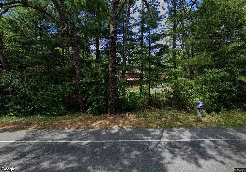
6567 Millville Ave Mays Landing, NJ 08330
Estimated Value: $345,000 - $356,000
3
Beds
2
Baths
1,504
Sq Ft
$233/Sq Ft
Est. Value
About This Home
This home is located at 6567 Millville Ave, Mays Landing, NJ 08330 and is currently estimated at $350,587, approximately $233 per square foot. 6567 Millville Ave is a home located in Atlantic County with nearby schools including Joseph Shaner School, George L. Hess Educational Complex, and William Davies Middle School.
Ownership History
Date
Name
Owned For
Owner Type
Purchase Details
Closed on
Apr 13, 1999
Sold by
Henry John W and Mcglinn Henry Patricia
Bought by
Henry John W
Current Estimated Value
Home Financials for this Owner
Home Financials are based on the most recent Mortgage that was taken out on this home.
Original Mortgage
$40,500
Interest Rate
6.56%
Mortgage Type
Seller Take Back
Create a Home Valuation Report for This Property
The Home Valuation Report is an in-depth analysis detailing your home's value as well as a comparison with similar homes in the area
Home Values in the Area
Average Home Value in this Area
Purchase History
| Date | Buyer | Sale Price | Title Company |
|---|---|---|---|
| Henry John W | -- | -- |
Source: Public Records
Mortgage History
| Date | Status | Borrower | Loan Amount |
|---|---|---|---|
| Closed | Henry John W | $40,500 |
Source: Public Records
Tax History Compared to Growth
Tax History
| Year | Tax Paid | Tax Assessment Tax Assessment Total Assessment is a certain percentage of the fair market value that is determined by local assessors to be the total taxable value of land and additions on the property. | Land | Improvement |
|---|---|---|---|---|
| 2025 | $5,448 | $158,800 | $41,000 | $117,800 |
| 2024 | $5,448 | $158,800 | $41,000 | $117,800 |
| 2023 | $5,123 | $158,800 | $41,000 | $117,800 |
| 2022 | $5,123 | $158,800 | $41,000 | $117,800 |
| 2021 | $4,612 | $158,800 | $41,000 | $117,800 |
| 2020 | $4,612 | $158,800 | $41,000 | $117,800 |
| 2019 | $4,624 | $158,800 | $41,000 | $117,800 |
| 2018 | $4,445 | $158,800 | $41,000 | $117,800 |
| 2017 | $4,367 | $158,800 | $41,000 | $117,800 |
| 2016 | $4,231 | $158,800 | $41,000 | $117,800 |
| 2015 | $4,070 | $158,800 | $41,000 | $117,800 |
| 2014 | $4,042 | $172,900 | $46,700 | $126,200 |
Source: Public Records
Map
Nearby Homes
- 0 Wheeling Ave Unit NJAC2018470
- 37 Delancy Ct
- 87 Devon Rd
- 508 13th Ave
- 1 Walnut Ct
- 11 Maple Ct
- 6310 Phillips Ave
- 54 Pine Tree Ln
- 6314 Lance Ave
- 6301 Knight Ave
- 60 Pine Tree Ln
- 39 Dogwood Ln Unit OAKS OF WEYMOUTH
- 39 Dogwood Ln
- 16 Holly Ct
- 24 Holly Ct
- 4 Laurel Ct Unit 291
- 7 Laurel Ct
- 9 Oaks Dr Unit 341
- 10 Locust Ct
- 80 Pine Tree Ln
- 6567 Millville Ave
- 6563 Millville Ave
- 6563 Millville Ave
- 6571 Millville Ave
- 6572 Millville Ave
- 6568 Millville Ave
- 6561 Millville Ave
- 6561 Millville Ave
- 6559 Millville Ave
- 6573 Millville Ave
- 6573 Millville Ave
- 6558 Millville Ave
- 6557 Millville Ave
- 6557 Millville Ave
- 6556 Millville Ave
- 6574 Millville Rd
- 6574 Millville Ave
- 6576 Millville Rd
- 6554 Millville Ave
- 6578 Millville Ave