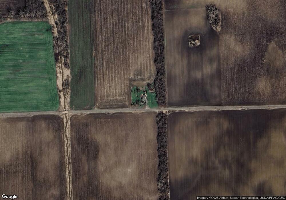
6568 Brower Rd Morenci, MI 49256
Estimated Value: $131,000 - $168,662
2
Beds
1
Bath
1,310
Sq Ft
$111/Sq Ft
Est. Value
About This Home
This home is located at 6568 Brower Rd, Morenci, MI 49256 and is currently estimated at $144,887, approximately $110 per square foot. 6568 Brower Rd is a home with nearby schools including Morenci Elementary School and Morenci Middle/High School.
Ownership History
Date
Name
Owned For
Owner Type
Purchase Details
Closed on
Aug 3, 2018
Sold by
Mcclain Gordon L and Mcclain Melissa
Bought by
Waslawski Cassandra
Current Estimated Value
Home Financials for this Owner
Home Financials are based on the most recent Mortgage that was taken out on this home.
Original Mortgage
$65,000
Outstanding Balance
$56,450
Interest Rate
4.5%
Mortgage Type
Purchase Money Mortgage
Estimated Equity
$88,437
Purchase Details
Closed on
Sep 3, 2010
Sold by
Stutzman Timothy and Stutzman Angela M
Bought by
Mcclain Gordon L and Rackliff Melissa
Home Financials for this Owner
Home Financials are based on the most recent Mortgage that was taken out on this home.
Original Mortgage
$61,176
Interest Rate
4.25%
Mortgage Type
FHA
Create a Home Valuation Report for This Property
The Home Valuation Report is an in-depth analysis detailing your home's value as well as a comparison with similar homes in the area
Home Values in the Area
Average Home Value in this Area
Purchase History
| Date | Buyer | Sale Price | Title Company |
|---|---|---|---|
| Waslawski Cassandra | $65,000 | -- | |
| Mcclain Gordon L | $62,000 | Atcl |
Source: Public Records
Mortgage History
| Date | Status | Borrower | Loan Amount |
|---|---|---|---|
| Open | Waslawski Cassandra | $65,000 | |
| Previous Owner | Mcclain Gordon L | $61,176 |
Source: Public Records
Tax History Compared to Growth
Tax History
| Year | Tax Paid | Tax Assessment Tax Assessment Total Assessment is a certain percentage of the fair market value that is determined by local assessors to be the total taxable value of land and additions on the property. | Land | Improvement |
|---|---|---|---|---|
| 2025 | $1,630 | $66,100 | $0 | $0 |
| 2024 | $585 | $66,100 | $0 | $0 |
| 2022 | $514 | $54,800 | $0 | $0 |
| 2021 | $1,436 | $47,100 | $0 | $0 |
| 2020 | $1,414 | $44,500 | $0 | $0 |
| 2019 | $128,677 | $41,900 | $0 | $0 |
| 2018 | $1,328 | $41,924 | $0 | $0 |
| 2017 | $1,280 | $40,645 | $0 | $0 |
| 2016 | $1,397 | $47,849 | $0 | $0 |
| 2014 | -- | $43,618 | $0 | $0 |
Source: Public Records
Map
Nearby Homes
- 9088 Elliott Hwy
- 8058 Packard Rd
- 8288 Packard Rd
- 4113 Seneca St
- 4084 Seneca St
- 7540 W Weston Rd
- 6000 Tomer Rd
- 7925 Morey Hwy
- 10554 Hickory St
- 5101 Sand Creek Hwy
- 8890 W Carleton Rd
- 1063 Elm St
- 9024 W Carleton Rd
- 3380 W Yankee Rd
- 507 Page St
- 3099 W Yankee Rd
- 205 E Chestnut St
- 2781 Benner Hwy
- 114 W Walnut St
- 328 E Main St
- 6792 W Horton Rd
- 6532 Packard Rd
- 6308 Packard Rd
- 8155 Tuttle Hwy
- 6603 Packard Rd
- 8807 Tuttle Hwy
- 6158 Packard Rd
- 8180 Tuttle Hwy
- 6161 Packard Rd Unit BLK
- 6000 W Horton Rd Unit BLK
- 8864 Packard Rd
- 8864 Packard Rd Unit PACKARD
- 8780 Elliott Hwy
- 6080 W Horton Rd
- 7058 Packard Rd
- 7024 Packard Rd
- 8000 Elliott Hwy Unit BLK
- 7218 Packard Rd
- 8500 Elliott Hwy
- 8005 Elliott Hwy
