6569 Pastor Ct Unit 20 West Bloomfield, MI 48322
Estimated Value: $354,845 - $401,000
2
Beds
2
Baths
2,212
Sq Ft
$171/Sq Ft
Est. Value
About This Home
This home is located at 6569 Pastor Ct Unit 20, West Bloomfield, MI 48322 and is currently estimated at $377,211, approximately $170 per square foot. 6569 Pastor Ct Unit 20 is a home located in Oakland County with nearby schools including Walled Lake Central High School, The Susan And Rabbi Harold Loss Ecc, and Brookfield Academy - West Bloomfield.
Ownership History
Date
Name
Owned For
Owner Type
Purchase Details
Closed on
Nov 14, 2022
Sold by
Feinberg Barbara
Bought by
Barbara Feinberg Trust
Current Estimated Value
Purchase Details
Closed on
Mar 28, 2011
Sold by
Hazergian Carol and Reizian Gary V
Bought by
Feinberg Roual and Feinberg Barbara
Purchase Details
Closed on
Mar 14, 1996
Sold by
Reizian Harry V
Bought by
Victoria Reizian Tr
Create a Home Valuation Report for This Property
The Home Valuation Report is an in-depth analysis detailing your home's value as well as a comparison with similar homes in the area
Home Values in the Area
Average Home Value in this Area
Purchase History
| Date | Buyer | Sale Price | Title Company |
|---|---|---|---|
| Barbara Feinberg Trust | -- | -- | |
| Feinberg Barbara | -- | -- | |
| Feinberg Roual | $160,000 | Capital Title Ins Agency | |
| Victoria Reizian Tr | -- | -- |
Source: Public Records
Tax History Compared to Growth
Tax History
| Year | Tax Paid | Tax Assessment Tax Assessment Total Assessment is a certain percentage of the fair market value that is determined by local assessors to be the total taxable value of land and additions on the property. | Land | Improvement |
|---|---|---|---|---|
| 2024 | $1,994 | $164,220 | $0 | $0 |
| 2022 | $1,880 | $141,800 | $27,000 | $114,800 |
| 2021 | $3,091 | $136,090 | $0 | $0 |
| 2020 | $1,858 | $135,530 | $27,450 | $108,080 |
| 2018 | $3,009 | $125,480 | $27,450 | $98,030 |
| 2015 | -- | $92,680 | $0 | $0 |
| 2014 | -- | $87,480 | $0 | $0 |
| 2011 | -- | $89,670 | $0 | $0 |
Source: Public Records
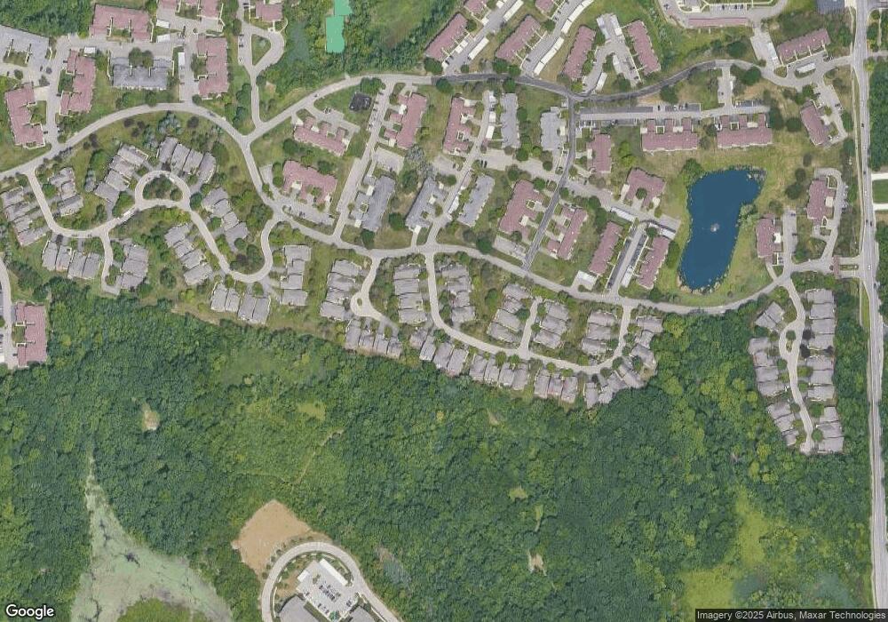
Map
Nearby Homes
- 6196 Celeste Rd
- 5616 Hillcrest Cir W
- 6606 Leytonstone Blvd
- VL Leytonstone Blvd
- 5676 Hillcrest Cir E
- 5608 Hillcrest Cir W Unit 80
- 5570 Wildrose Ave
- 0000 Blue Jay Way
- 6433 Walnut Lake Rd
- 5965 Crestwood Dr
- 5679 Branford Dr
- 6517 Chelsea Bridge
- 6986 Crosswell Dr
- 5835 Drake Rd
- 6993 Crosswell Dr
- 6740 Ridgefield Cir Unit 103
- 7220 Essex Dr
- 6540 Ridgefield Cir Unit 204
- 5727 Royal Wood
- 6693 Maple Lakes Dr Unit 62
- 6569 Pastor Ct Unit 20
- 6571 Noble Rd
- 6573 Noble Rd
- 6565 Pastor Ct Unit 19
- 6565 Pastor Ct Unit Bldg-Unit19
- 6565 Pastor Ct
- 6555 Pastor Ct Unit 18
- 6555 Pastor Ct
- 6575 Noble Rd Unit 23
- 6545 Pastor Ct
- 6545 Pastor Ct
- 6580 Noble Rd Unit 30
- 6577 Noble Rd
- 6560 Noble Rd
- 6582 Noble Rd Unit 29
- 6579 Noble Rd Unit 25
- 6550 Noble Ct
- 6550 Noble Ct Unit 32
- 6465 Noble Rd
- 6455 Noble Rd