6569 SE Dakota Trail Saint Joseph, MO 64507
Estimated Value: $292,872 - $468,000
--
Bed
--
Bath
1,595
Sq Ft
$235/Sq Ft
Est. Value
About This Home
This home is located at 6569 SE Dakota Trail, Saint Joseph, MO 64507 and is currently estimated at $374,468, approximately $234 per square foot. 6569 SE Dakota Trail is a home located in Buchanan County with nearby schools including Skaith Elementary School, Truman Middle School, and Townsend Harris High School.
Ownership History
Date
Name
Owned For
Owner Type
Purchase Details
Closed on
Jun 29, 2020
Sold by
Osborn Frederick A and Osborn Kendra
Bought by
Ide Steven M and Ide Terra
Current Estimated Value
Home Financials for this Owner
Home Financials are based on the most recent Mortgage that was taken out on this home.
Original Mortgage
$120,000
Outstanding Balance
$83,744
Interest Rate
3.2%
Mortgage Type
New Conventional
Estimated Equity
$290,724
Purchase Details
Closed on
Dec 20, 2005
Sold by
Mcenaney Curtis and Mcenaney Ramona
Bought by
Osborn Frederick A and Osborn Kendra
Home Financials for this Owner
Home Financials are based on the most recent Mortgage that was taken out on this home.
Original Mortgage
$197,734
Interest Rate
6.23%
Mortgage Type
VA
Create a Home Valuation Report for This Property
The Home Valuation Report is an in-depth analysis detailing your home's value as well as a comparison with similar homes in the area
Home Values in the Area
Average Home Value in this Area
Purchase History
| Date | Buyer | Sale Price | Title Company |
|---|---|---|---|
| Ide Steven M | -- | First American Ttl Ins Compa | |
| Osborn Frederick A | -- | Hall Abstract & Title Co Inc |
Source: Public Records
Mortgage History
| Date | Status | Borrower | Loan Amount |
|---|---|---|---|
| Open | Ide Steven M | $120,000 | |
| Previous Owner | Osborn Frederick A | $197,734 |
Source: Public Records
Tax History Compared to Growth
Tax History
| Year | Tax Paid | Tax Assessment Tax Assessment Total Assessment is a certain percentage of the fair market value that is determined by local assessors to be the total taxable value of land and additions on the property. | Land | Improvement |
|---|---|---|---|---|
| 2025 | $2,542 | $40,350 | $4,750 | $35,600 |
| 2024 | $2,389 | $37,870 | $4,750 | $33,120 |
| 2023 | $2,389 | $37,870 | $4,750 | $33,120 |
| 2022 | $2,192 | $37,870 | $4,750 | $33,120 |
| 2021 | $2,203 | $37,870 | $4,750 | $33,120 |
| 2020 | $2,193 | $37,870 | $4,750 | $33,120 |
| 2019 | $2,153 | $37,870 | $4,750 | $33,120 |
| 2018 | $2,045 | $40,260 | $4,560 | $35,700 |
| 2017 | $1,875 | $40,260 | $0 | $0 |
| 2015 | $1 | $40,260 | $0 | $0 |
| 2014 | $2,097 | $40,260 | $0 | $0 |
Source: Public Records
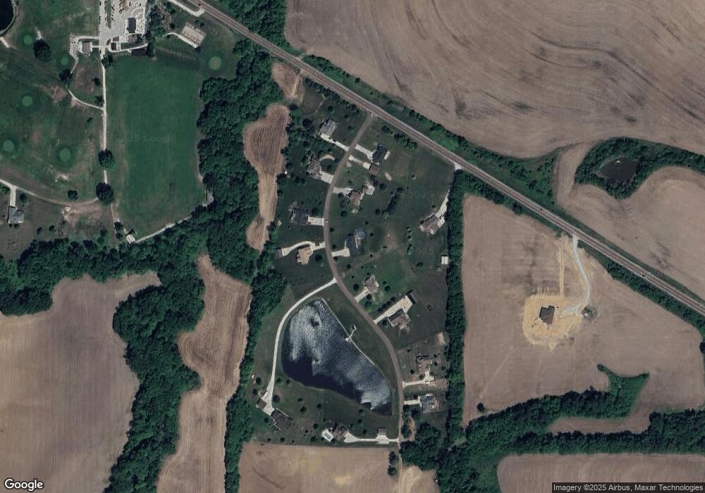
Map
Nearby Homes
- 7201 Whitson Rd
- 5910 SE Easton Rd
- 4909 S Creek Wood Dr
- 4816 N Creek Wood Dr
- 0 Commonwealth Ct
- 1305 S Riverside Rd
- 3301 Sioux Ln
- 3814 Meadow Oak Ln
- 5401 Cranberry Hill Cir
- 4604 Valley Ln
- 4510 Valley Ln
- 4603 Valley Ln
- 4507 Valley Ln
- 2401 Bittersweet Ln
- 27 Partridge Dr
- 5917 Corporate Dr
- 4702 Schoolside Ln
- 4116 Pickett Rd
- 5005 University Ave
- 10 Bluebird Dr
- 6637 SE Dakota Trail
- 6600 SE Dakota Trail
- 6535 SE Dakota Trail
- 6550 SE Dakota Trail
- 6710 SE Highway 169
- 6710 U S 169
- 6689 SE Dakota Trail
- 6470 SE Dakota Trail
- 6461 SE Dakota Trail
- 6450 SE Dakota Trail
- 6745 SE Dakota Trail
- 6773 SE Dakota Trail
- 6620 SE Dakota Trail
- 6780 SE Dakota Trail
- 6480 SE Highway 169
- 6480 SE Highway 169
- SE 70th Rd
- 6354 SE Highway 169
- 6352 SE Highway 169
- 6395 SE Highway 169